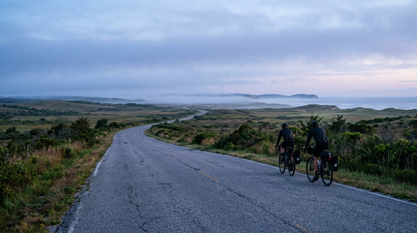
U.S. Bicycle Route 44
A point-to-point asphalt route covering 310.9 km with 798 m of elevation gain, built more around sustained endurance than climbing fireworks.
- Distância
- 310.9km
- Subida
- 798m
- Piso
- —
- Formato
- Ponto a ponto
A rota
Perfil de elevação
Route character
The U.S. Bicycle Route 44 cycling route is a long point-to-point ride on asphalt, covering 310.9 km with 798 m of total elevation gain. That combination tells you most of what matters before turning a pedal: this is not a route defined by climbing, but by duration, consistency, and the cumulative cost of staying on top of the basics for a long time.
With no notable climbs listed, the difficulty is less about managing one decisive ascent and more about avoiding the slow leak of energy that comes from poor pacing, missed fueling, and repeated accelerations. The total elevation gain is meaningful, but spread across the full distance it points toward a route where the terrain should generally reward steadiness over punchiness.
Terrain and pacing
Because the route is entirely asphalt, equipment choice can stay focused on efficiency and comfort rather than mixed-surface compromise. A reliable endurance road setup makes sense: position, tire choice, and contact-point comfort will matter more than climbing-specific gearing or aggressive race-day aerodynamics.
The key pacing mistake on a route like this is treating the absence of major climbs as permission to ride too hard early. Without a single obvious summit to organize effort around, it is easy to let speed drift above sustainable output on open or gently rolling sections. Anchor the day around controlled endurance riding, especially if attempting the full distance in one push. If using power, keep the effort tied to your sustainable zones rather than speed, since speed will be shaped by terrain, wind, stops, and surface conditions. For riders calibrating pacing, /glossary/ftp is the better reference point than average speed.
Practical notes
This is not a loop, so logistics matter. Plan the start, finish, transport, and any return travel before focusing on the ride itself. A point-to-point route also means conditions can change across the day without the psychological reset of returning to familiar roads.
The low-climb profile relative to the total distance makes fueling discipline especially important. On hillier routes, climbs naturally interrupt the day and force changes in rhythm. Here, the smoother profile can make it easier to forget intake until performance starts to fade. Set a repeatable fueling and hydration schedule early and follow it before hunger or fatigue become obvious.
Who it suits
U.S. Bicycle Route 44 is best approached as an endurance execution test on paved roads. Riders looking for a famous climb or a high-vertical day will not find that character in the listed profile. Riders who want a long, steady asphalt route where success comes from pacing, logistics, and durability will find the numbers point clearly in that direction.
Rotas relacionadas
3-Länder-Radweg
A 302.2 km asphalt route in Germany with 1512 m of climbing and point-to-point logistics shaped by the Reußenkreuz climb.
7 Peaks Alpine Challenge
A 110.9 km point-to-point assault through the Victorian Alps, stacking 3404 metres of climbing across relentless, wind-swept high-country ascents.
Aberdare Range
A 46 km asphalt point-to-point through Kenya's Central Highlands that trades big climbs for a relentless 1,700 m of rolling grind.
Abra Málaga
A 45-kilometer point-to-point ribbon of asphalt through Peru's Sacred Valley, climbing 1,699 relentless meters into the high Andes.
Afriski Mahlasela Pass
A 112.8 km asphalt ascent through the Maloti Mountains, climbing 3,384 m to the roof of southern Africa via the storied Mahlasela Pass.
Ahr Cycleway
An 82.9 km asphalt point-to-point route with 541 m of gain, the Ahr Cycleway is a steady endurance ride rather than a climb-focused day.