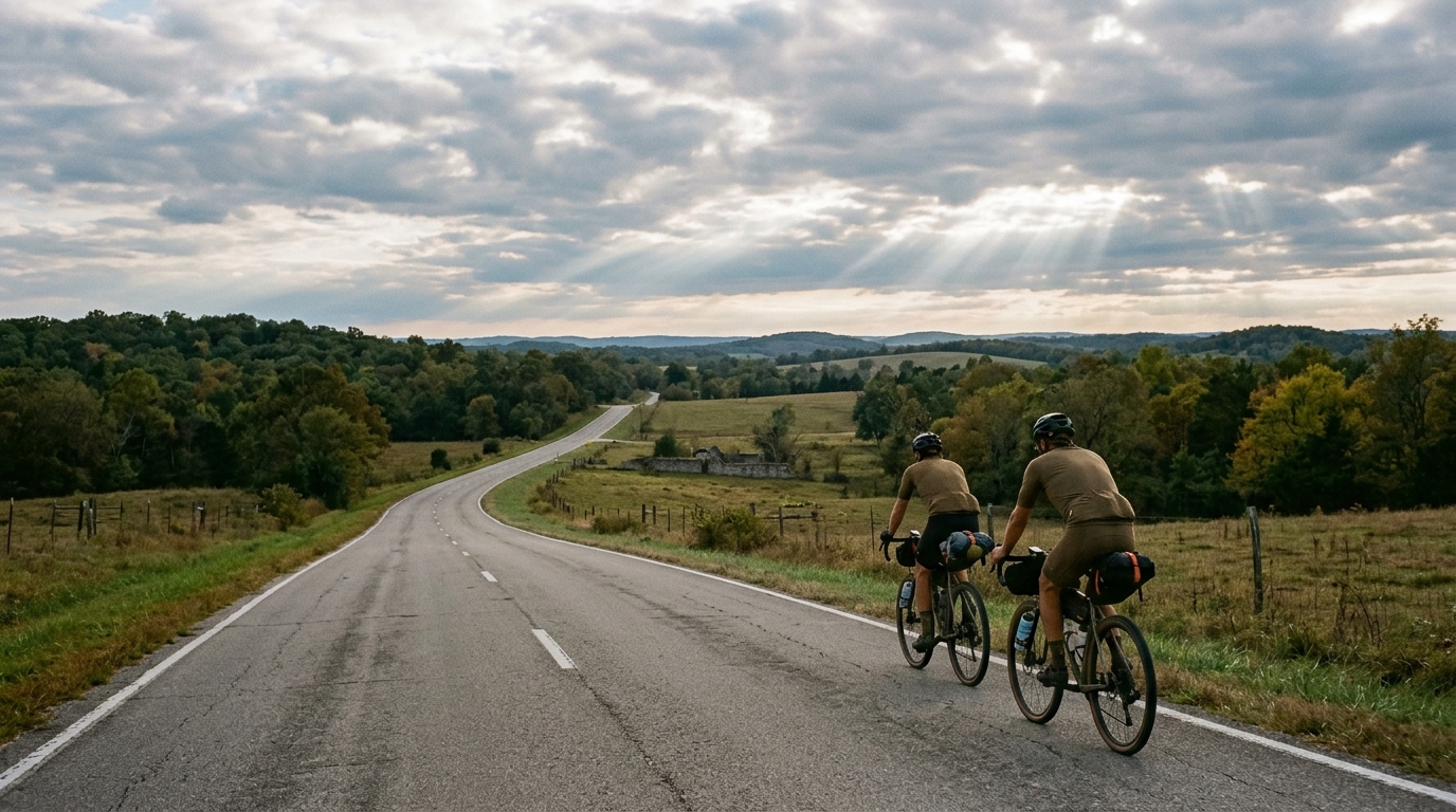
U.S. Bicycle Route 251 in Missouri
A paved, point-to-point Missouri endurance route where the challenge comes from distance and steady accumulation rather than major climbs.
- Distância
- 208.3km
- Subida
- 804m
- Piso
- —
- Formato
- Ponto a ponto
A rota
Perfil de elevação
U.S. Bicycle Route 251 in Missouri Cycling Route
U.S. Bicycle Route 251 in Missouri is a long paved point-to-point ride built around endurance rather than climbing. The route covers 208.3 km on asphalt with 804 m of elevation gain, which tells you most of what matters before you clip in: this is not a route defined by a signature ascent or repeated steep climbing, but by how well you manage distance, position, fueling, and attention over a long day.
That matters tactically. With no notable climbs listed, the ride is unlikely to be decided by one obvious uphill effort. Instead, the harder moments should come from the accumulation of smaller rises, changes in exposure, and the fatigue that builds when the route keeps moving forward without the reset that a loop sometimes provides. The total gain is meaningful, but spread across the full distance it points to rolling endurance terrain rather than a climbing-focused course.
Terrain and ride character
The asphalt surface makes this a road-oriented route. A standard road bike or endurance bike is the natural choice, with setup decisions driven more by comfort and reliability than by weight savings. Over 208.3 km, the fastest setup is often the one that keeps you stable, fed, and relaxed late in the ride.
The non-loop format is the defining logistical feature. You are not circling back to the start by default, so transport, pickup, lodging, or a return plan need to be solved before the ride. That also changes the mental shape of the day. A point-to-point route rewards patience because every early effort has to be carried forward.
How to pace it
Treat U.S. Bicycle Route 251 in Missouri as an aerobic endurance ride first. The absence of named climbs does not make it easy; it simply moves the difficulty from punchy climbing into duration management. Riding above sustainable effort early will not create much advantage, but it can make the final portion disproportionately expensive.
If you ride with power, anchor the day around controlled endurance output rather than chasing short surges. If you pace by feel, stay just under the effort that makes conversation difficult for the first part of the ride. For riders using structured zones, this is the kind of route where knowing your /glossary/ftp helps, but discipline matters more than the number itself.
Practical notes
- Plan the finish logistics first because the route is point-to-point.
- Carry enough nutrition for a long day, and make resupply decisions before the ride rather than waiting until you are low.
- Choose equipment for asphalt distance: comfort, dependable tires, and a position you can hold for hours.
- Do not underestimate the elevation gain just because there are no notable climbs listed. Small rises still count when they arrive late.
The clean read is this: U.S. Bicycle Route 251 in Missouri is a paved endurance route where the main opponent is not a climb, but the compounding cost of a long, one-way ride.
Rotas relacionadas
3-Länder-Radweg
A 302.2 km asphalt route in Germany with 1512 m of climbing and point-to-point logistics shaped by the Reußenkreuz climb.
7 Peaks Alpine Challenge
A 110.9 km point-to-point assault through the Victorian Alps, stacking 3404 metres of climbing across relentless, wind-swept high-country ascents.
Aberdare Range
A 46 km asphalt point-to-point through Kenya's Central Highlands that trades big climbs for a relentless 1,700 m of rolling grind.
Abra Málaga
A 45-kilometer point-to-point ribbon of asphalt through Peru's Sacred Valley, climbing 1,699 relentless meters into the high Andes.
Afriski Mahlasela Pass
A 112.8 km asphalt ascent through the Maloti Mountains, climbing 3,384 m to the roof of southern Africa via the storied Mahlasela Pass.
Ahr Cycleway
An 82.9 km asphalt point-to-point route with 541 m of gain, the Ahr Cycleway is a steady endurance ride rather than a climb-focused day.