National Cycle Route 665
A practical guide to the National Cycle Route 665 cycling route: 23 km of asphalt with just 33 m of elevation gain and a point-to-point profile.
- Distância
- 23km
- Subida
- 33m
- Piso
- —
- Formato
- Ponto a ponto
A rota
Perfil de elevação
National Cycle Route 665 cycling route overview
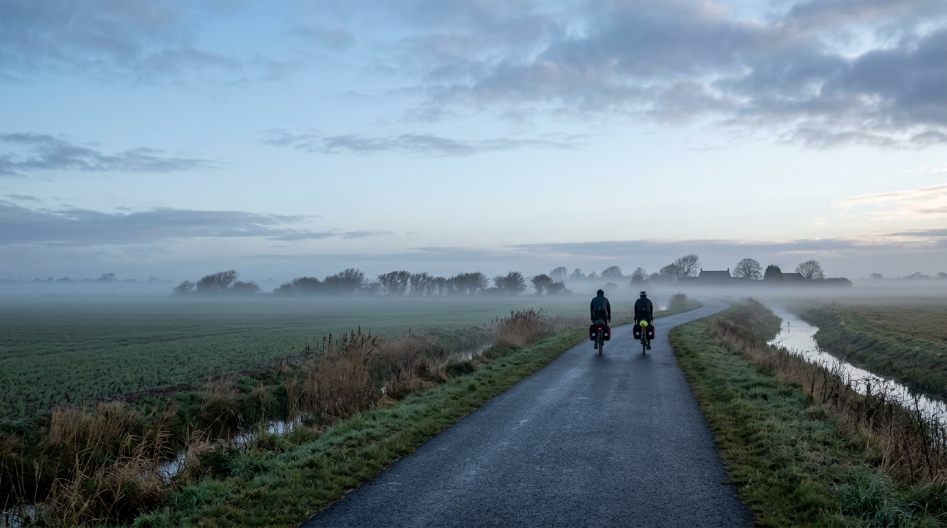
National Cycle Route 665 is a 23 km point-to-point cycling route in GB, with an asphalt surface and only 33 m of elevation gain. That combination tells you most of what matters about its character: this is not a climbing route, and the difficulty is unlikely to come from sustained gradients or repeated elevation changes.
The route profile is defined by restraint. With no notable climbs listed and such a small total gain across the full distance, the ride should reward smooth pacing more than punchy efforts. For endurance cyclists, that makes it a useful route for steady aerobic work, controlled cadence practice, or simply linking two points without turning the day into a climbing session.
Terrain and ride feel
The asphalt surface makes this a straightforward road or hybrid bike proposition, assuming normal local conditions. The low elevation gain means momentum should be easy to preserve, so the ride is likely to feel more continuous than broken. Instead of climbing rhythm, the main limiter will be how consistently you ride the route from start to finish.
Because the route is not a loop, the logistics matter more than the terrain. A 23 km point-to-point ride can be very simple if you have a return plan, but it becomes a different outing if you need to ride back, arrange transport, or connect it into a longer day. Treat the endpoint as part of the route planning, not an afterthought.
How to pace it
This is the kind of route where over-riding early brings little benefit. There is not enough climbing load on paper to justify big surges, so a controlled endurance pace is the sensible default. If you are using power, keep it steady rather than chasing spikes. For riders working from threshold-based zones, this is better suited to aerobic durability than testing /glossary/ftp.
The low total elevation gain also makes the route practical for riders who want predictable effort. That does not mean it is automatically easy, but it does mean the course profile should not be the main complication.
Practical notes
- Distance: 23 km.
- Surface: asphalt.
- Elevation gain: 33 m.
- Route type: point-to-point, not a loop.
- Notable climbs: none listed.
Bring enough food and water for the full distance, especially if you are linking it with another ride. The key planning decision is not gearing for climbs, but how you will handle the finish once the one-way route is complete.
Rotas relacionadas
3-Länder-Radweg
A 302.2 km asphalt route in Germany with 1512 m of climbing and point-to-point logistics shaped by the Reußenkreuz climb.
7 Peaks Alpine Challenge
A 110.9 km point-to-point assault through the Victorian Alps, stacking 3404 metres of climbing across relentless, wind-swept high-country ascents.
Aberdare Range
A 46 km asphalt point-to-point through Kenya's Central Highlands that trades big climbs for a relentless 1,700 m of rolling grind.
Abra Málaga
A 45-kilometer point-to-point ribbon of asphalt through Peru's Sacred Valley, climbing 1,699 relentless meters into the high Andes.
Afriski Mahlasela Pass
A 112.8 km asphalt ascent through the Maloti Mountains, climbing 3,384 m to the roof of southern Africa via the storied Mahlasela Pass.
Ahr Cycleway
An 82.9 km asphalt point-to-point route with 541 m of gain, the Ahr Cycleway is a steady endurance ride rather than a climb-focused day.