National Cycle Route 14
A practical guide to National Cycle Route 14, a 180.5 km asphalt point-to-point ride in GB with 632 m of elevation gain.
- Distância
- 180.5km
- Subida
- 632m
- Piso
- —
- Formato
- Ponto a ponto
A rota
Perfil de elevação
National Cycle Route 14 cycling route overview
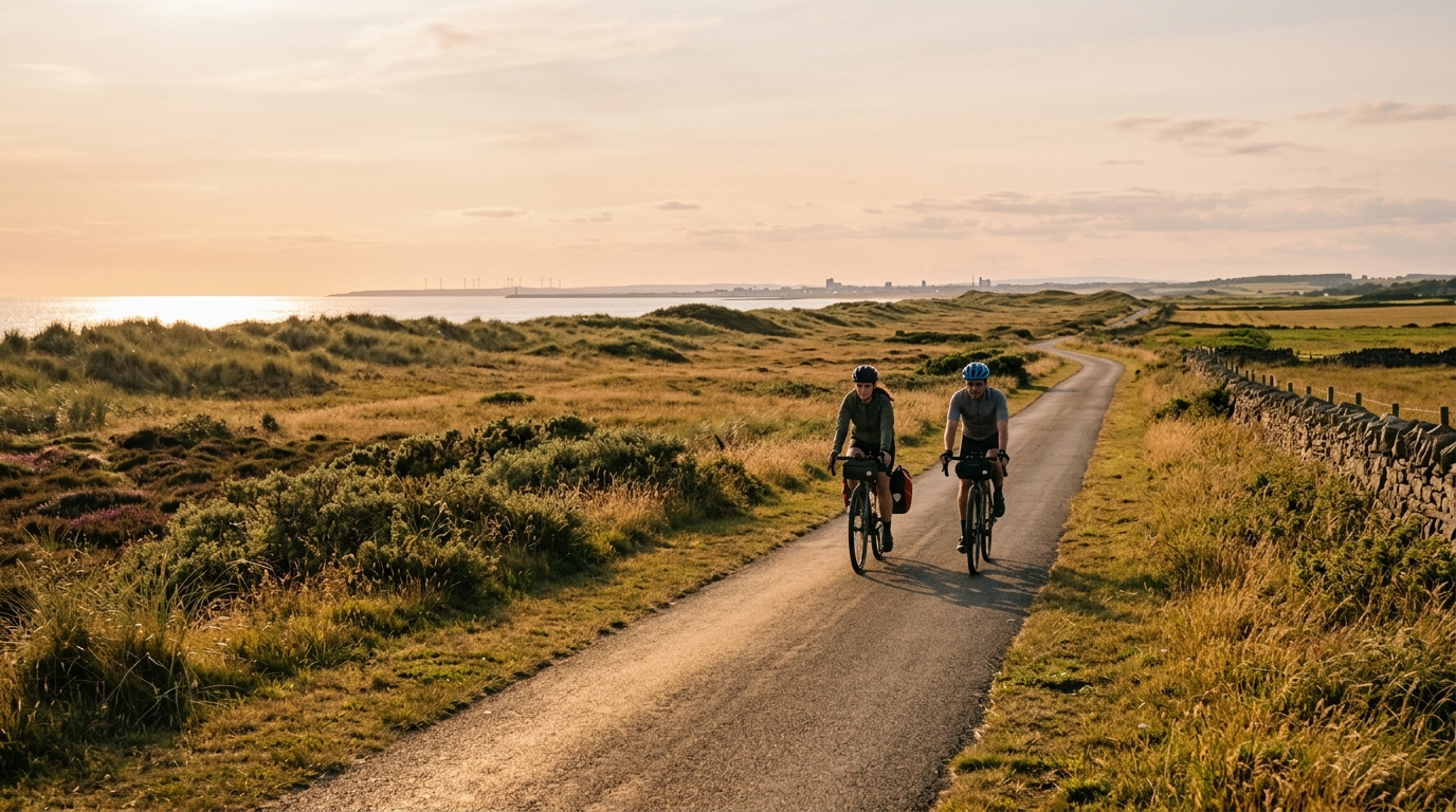
National Cycle Route 14 is a long point-to-point ride in GB, covering 180.5 km on asphalt with 632 m of total elevation gain. That combination tells you most of what matters before you clip in: this is not a climbing route, but it is long enough that pacing, fuelling, and logistics will decide the quality of the day.
The listed surface is asphalt, so the route is best read as a road or all-road endurance ride rather than a mixed-surface challenge. With no notable climbs listed, the difficulty is unlikely to come from one decisive ascent. It comes from accumulation - distance, repeated small changes in effort, and the discipline required to keep the ride controlled for several hours.
Terrain and ride character
The elevation gain of 632 m across 180.5 km points to a route that should feel broadly steady rather than mountainous. That does not mean easy. A long asphalt route with modest climbing can still be demanding if the effort drifts too high early, especially if the rider treats the lack of major climbs as permission to ride above endurance pace.
The smart approach is to keep the opening section deliberately calm. On a route without a headline climb, there is no obvious place where the ride announces its difficulty. Fatigue builds quietly. If using power, keep the bulk of the ride comfortably below /glossary/ftp. If riding by feel, the correct intensity is one where conversation would still be possible and small rises do not force hard accelerations.
Practical notes
Because National Cycle Route 14 is not a loop, the biggest non-physical detail is the finish plan. Sort transport, return riding, or an overnight stop before the ride. A point-to-point route rewards planning more than improvisation, particularly at 180.5 km.
Key considerations:
- Treat it as an endurance route first, not a climbing test.
- Use road-appropriate tyres and setup for asphalt.
- Start easier than feels necessary, because the route length is the main stressor.
- Fuel from early in the ride rather than waiting for fatigue to appear.
- Plan the end of the route as carefully as the start, since it is not a loop.
Who it suits
This route suits riders who want a substantial day out on asphalt without the profile being defined by major climbs. It is a good fit for steady endurance work, long-distance confidence, and riders who prefer rhythm over repeated steep efforts. The route’s challenge is simple but unforgiving: cover the full distance efficiently without wasting energy early.
Rotas relacionadas
3-Länder-Radweg
A 302.2 km asphalt route in Germany with 1512 m of climbing and point-to-point logistics shaped by the Reußenkreuz climb.
7 Peaks Alpine Challenge
A 110.9 km point-to-point assault through the Victorian Alps, stacking 3404 metres of climbing across relentless, wind-swept high-country ascents.
Aberdare Range
A 46 km asphalt point-to-point through Kenya's Central Highlands that trades big climbs for a relentless 1,700 m of rolling grind.
Abra Málaga
A 45-kilometer point-to-point ribbon of asphalt through Peru's Sacred Valley, climbing 1,699 relentless meters into the high Andes.
Afriski Mahlasela Pass
A 112.8 km asphalt ascent through the Maloti Mountains, climbing 3,384 m to the roof of southern Africa via the storied Mahlasela Pass.
Ahr Cycleway
An 82.9 km asphalt point-to-point route with 541 m of gain, the Ahr Cycleway is a steady endurance ride rather than a climb-focused day.