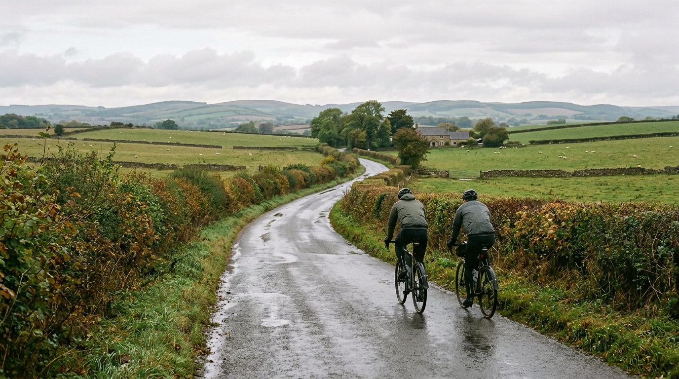
Milton Route
A 45.4 km asphalt ride in GB with 304 m of elevation gain, best read as a steady non-looping road route rather than a climb-focused day.
- Distância
- 45.4km
- Subida
- 304m
- Piso
- —
- Formato
- Ponto a ponto
A rota
Perfil de elevação
Milton Route cycling route overview
The Milton Route is a 45.4 km asphalt cycling route in GB with 304 m of elevation gain. On paper, that makes it a road-focused ride where the difficulty is shaped less by a single decisive climb and more by how the elevation is distributed across the whole distance.
The important detail is that the route is not listed as a loop. That changes the ride from a simple start-and-finish-at-the-same-point outing into something that needs a bit more planning. You either need a return option, a lift, public transport, or the intention to ride it back in reverse. That does not make the route harder by itself, but it does affect fueling, pacing, and how much margin you should leave in the legs.
Terrain and ride character
With 304 m of gain over 45.4 km and no notable climbs listed, the Milton Route should be treated as a steady endurance ride rather than a climbing test. The elevation is enough to interrupt rhythm and force some changes in pressure on the pedals, but there is nothing in the supplied profile that points to a named ascent or a single feature that defines the day.
That usually rewards smooth pacing. Riding too hard over the early rises can quietly drain the legs, especially because a non-looping route does not naturally bring you back to the start if conditions or energy levels change. Keep the effort controlled, use the flatter sections to settle, and avoid turning every small rise into a threshold effort. If you pace by power, this is the kind of route where staying disciplined around /glossary/ftp matters more than chasing short spikes.
Surface and equipment
The route is listed as asphalt, so a standard road setup is the natural choice. There is no need to plan around mixed-surface equipment based on the available data. The main practical focus should be reliability and comfort over 45.4 km: suitable tire pressure, enough food and fluid for the full point-to-point distance, and a plan for what happens at the finish.
Practical notes
- Distance: 45.4 km
- Elevation gain: 304 m
- Surface: asphalt
- Route format: not a loop
- Notable climbs: none listed
The Milton Route is best approached as a measured road endurance ride. Its profile does not suggest a day defined by major climbing, but the distance and elevation are still enough to punish poor pacing. The smart ride is controlled early, consistent through the middle, and planned around the fact that the finish is not automatically back where you started.
Rotas relacionadas
3-Länder-Radweg
A 302.2 km asphalt route in Germany with 1512 m of climbing and point-to-point logistics shaped by the Reußenkreuz climb.
7 Peaks Alpine Challenge
A 110.9 km point-to-point assault through the Victorian Alps, stacking 3404 metres of climbing across relentless, wind-swept high-country ascents.
Aberdare Range
A 46 km asphalt point-to-point through Kenya's Central Highlands that trades big climbs for a relentless 1,700 m of rolling grind.
Abra Málaga
A 45-kilometer point-to-point ribbon of asphalt through Peru's Sacred Valley, climbing 1,699 relentless meters into the high Andes.
Afriski Mahlasela Pass
A 112.8 km asphalt ascent through the Maloti Mountains, climbing 3,384 m to the roof of southern Africa via the storied Mahlasela Pass.
Ahr Cycleway
An 82.9 km asphalt point-to-point route with 541 m of gain, the Ahr Cycleway is a steady endurance ride rather than a climb-focused day.