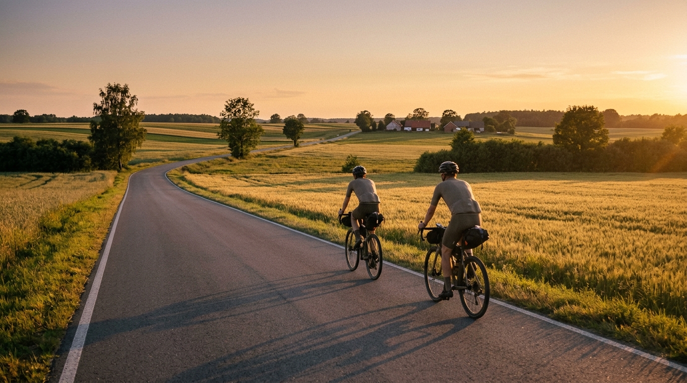
“Land Flowing with Milk” Cycle Route
A practical guide to the Land Flowing with Milk Cycle Route cycling route: a 100.8 km asphalt loop with 295 m of elevation gain.
- Distância
- 100.8km
- Subida
- 295m
- Piso
- —
- Formato
- Circuito
A rota
Perfil de elevação
Route character
The Land Flowing with Milk Cycle Route cycling route is a 100.8 km asphalt loop in PL with 295 m of elevation gain. On paper, that tells you most of what matters: this is a long ride without a heavy climbing bill. The difficulty is less about surviving a decisive ascent and more about managing steady output, position, fueling, and concentration over a full-distance loop.
Because the route is listed as asphalt and has no notable climbs in the route data, it should suit a road bike setup and riders who want consistent pedaling rather than stop-start climbing rhythm. The low elevation gain relative to the distance suggests a route where pace discipline matters. It can be tempting to ride above endurance intensity early because the terrain is not forcing obvious restraint, but that is exactly how a controlled 100.8 km ride can become unnecessarily costly late.
Terrain and pacing
Expect the ride to reward smoothness. With only 295 m of total gain and no listed notable climbs, there is no single feature that should define the day. Instead, the route is likely to be shaped by accumulation: time on the pedals, small changes in terrain, and how well you keep effort stable.
For endurance athletes, this is the kind of loop where using power or heart rate is more useful than chasing speed. Hold a sustainable aerobic effort, especially through the first half, and avoid treating every rise or faster section as a test. If riding by power, anchor the effort below /glossary/ftp unless the goal is a structured workout. If you do not know your current benchmark, estimate it before building sessions around the route with /tools/ftp-estimator.
Practical notes
- Surface: asphalt, so standard road tires and a road-focused setup make sense.
- Format: loop, which simplifies logistics because the start and finish are the same.
- Distance: 100.8 km, long enough that fueling should be planned rather than improvised.
- Elevation gain: 295 m, so climbing is unlikely to be the limiter for most prepared riders.
- Notable climbs: none listed in the route data.
Who it suits
This route is a good fit for riders looking for a steady endurance day, a controlled century-style effort, or a longer aerobic ride without major climbing. It is also useful for testing pacing discipline: the course profile does not appear selective on elevation alone, so the main question becomes whether the rider can keep the effort economical from start to finish.
Treat it as a route where restraint early creates quality late. The numbers do not suggest a climber's course. They suggest a clean, asphalt loop where the best ride comes from steady pressure, sensible fueling, and a pace you can still hold when the distance starts to count.
Rotas relacionadas
3-Länder-Radweg
A 302.2 km asphalt route in Germany with 1512 m of climbing and point-to-point logistics shaped by the Reußenkreuz climb.
7 Peaks Alpine Challenge
A 110.9 km point-to-point assault through the Victorian Alps, stacking 3404 metres of climbing across relentless, wind-swept high-country ascents.
Aberdare Range
A 46 km asphalt point-to-point through Kenya's Central Highlands that trades big climbs for a relentless 1,700 m of rolling grind.
Abra Málaga
A 45-kilometer point-to-point ribbon of asphalt through Peru's Sacred Valley, climbing 1,699 relentless meters into the high Andes.
Afriski Mahlasela Pass
A 112.8 km asphalt ascent through the Maloti Mountains, climbing 3,384 m to the roof of southern Africa via the storied Mahlasela Pass.
Ahr Cycleway
An 82.9 km asphalt point-to-point route with 541 m of gain, the Ahr Cycleway is a steady endurance ride rather than a climb-focused day.