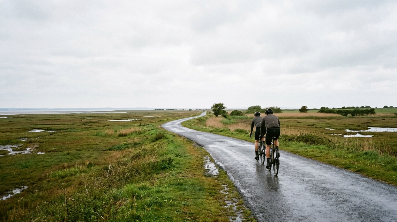
Heron Trail
A concise guide to the Heron Trail cycling route: 21.1 km of asphalt with 108 m of gain and no listed notable climbs.
- Distância
- 21.1km
- Subida
- 108m
- Piso
- —
- Formato
- Ponto a ponto
A rota
Perfil de elevação
Heron Trail cycling route overview
The Heron Trail is a 21.1 km asphalt cycling route in GB with 108 m of elevation gain. On paper, that gives it a controlled, low-climbing profile rather than the stop-start rhythm of a route built around major ascents. There are no notable climbs listed, which is the key tactical detail: this is unlikely to be a ride defined by one decisive gradient. It is more about maintaining momentum, pacing cleanly, and avoiding unnecessary surges.
Because the route is not a loop, the biggest practical decision comes before the ride starts. Treat it as a point-to-point route unless you have a return plan. That could mean arranging transport, riding it as an out-and-back, or linking it into a larger ride. The non-loop format matters because it changes the effort calculation. If you turn it into a return ride, the total workload is not just the stated 21.1 km route - it becomes a longer session with the same surface character but a different pacing demand.
Terrain and ride character
With 108 m of gain across the full distance, the Heron Trail should ride as a relatively steady endurance route rather than a climbing test. The lack of listed notable climbs reinforces that reading. Expect the effort to be shaped less by steep ramps and more by how consistently you keep pressure on the pedals.
That makes it useful for riders who want a controlled aerobic ride, a steady tempo block, or a route where pacing discipline matters more than raw climbing ability. If you are riding to power, this is the sort of profile where staying close to target output is usually more productive than repeatedly punching above it. For riders using zones, anchor the effort around your known /glossary/ftp rather than chasing speed alone.
Surface and equipment notes
The listed surface is asphalt, so standard road setups are appropriate. There is no indication in the route data of gravel, mixed terrain, or a technical off-road section. That simplifies equipment choice: prioritise a reliable road tyre setup, normal gearing, and a position you can hold comfortably for steady riding.
The modest elevation gain also means gearing does not need to be selected around sustained climbing. The more important equipment question is whether your setup supports an efficient, uninterrupted ride across the full 21.1 km.
How to ride it well
The main mistake on a route like this is treating the absence of major climbs as a reason to ride carelessly. Low elevation does not automatically mean low load. If the goal is endurance, keep the effort smooth from the start. If the goal is tempo, use the route's steady profile to avoid the power spikes that often undermine the quality of the session.
Plan the finish before you roll out. The Heron Trail is not listed as a loop, and that single detail has more practical consequence than the climbing profile. Get the logistics right, then let the route do what it appears suited for: a clean asphalt ride where consistency is the point.
Rotas relacionadas
3-Länder-Radweg
A 302.2 km asphalt route in Germany with 1512 m of climbing and point-to-point logistics shaped by the Reußenkreuz climb.
7 Peaks Alpine Challenge
A 110.9 km point-to-point assault through the Victorian Alps, stacking 3404 metres of climbing across relentless, wind-swept high-country ascents.
Aberdare Range
A 46 km asphalt point-to-point through Kenya's Central Highlands that trades big climbs for a relentless 1,700 m of rolling grind.
Abra Málaga
A 45-kilometer point-to-point ribbon of asphalt through Peru's Sacred Valley, climbing 1,699 relentless meters into the high Andes.
Afriski Mahlasela Pass
A 112.8 km asphalt ascent through the Maloti Mountains, climbing 3,384 m to the roof of southern Africa via the storied Mahlasela Pass.
Ahr Cycleway
An 82.9 km asphalt point-to-point route with 541 m of gain, the Ahr Cycleway is a steady endurance ride rather than a climb-focused day.