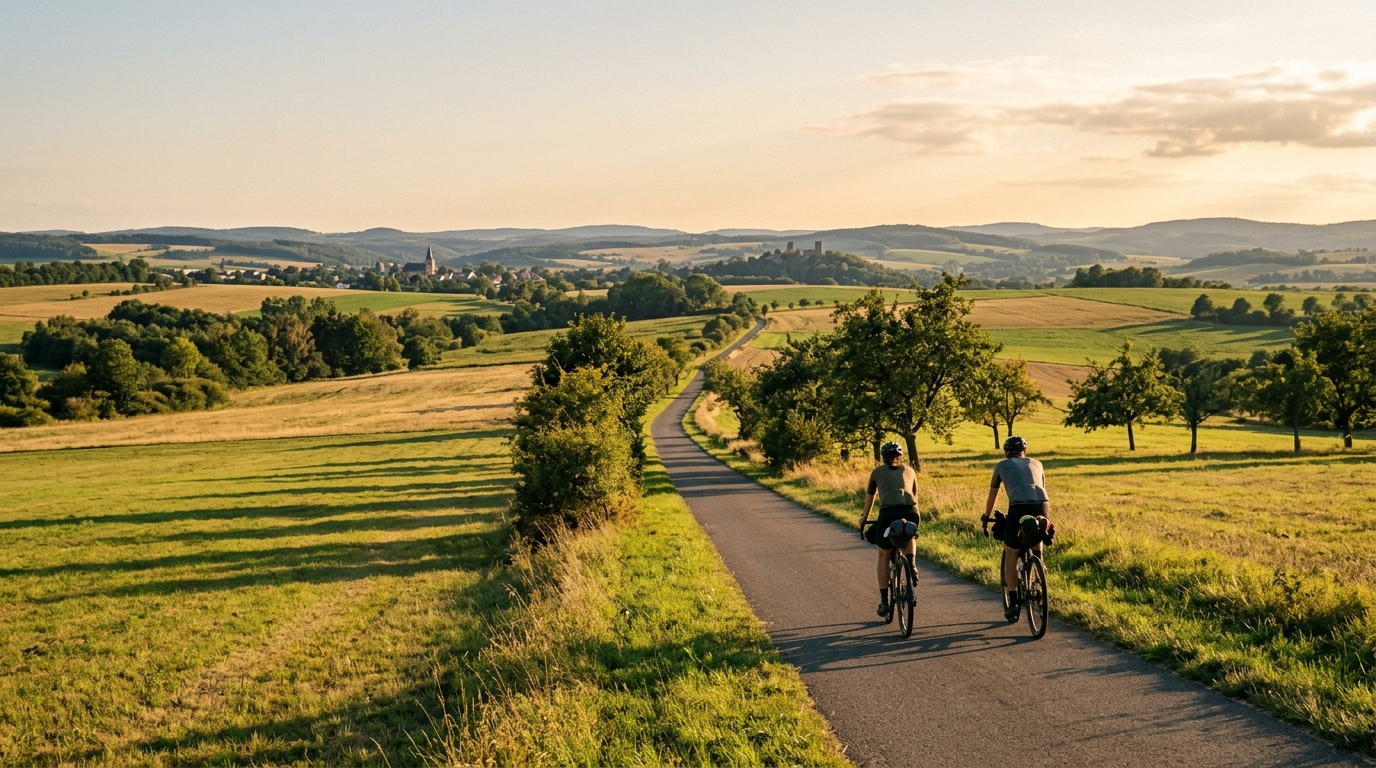
Herkules-Wartburg-Radweg
A practical guide to the Herkules-Wartburg-Radweg cycling route: 113.9 km of asphalt riding with 657 m of climbing on a point-to-point profile.
- Distância
- 113.9km
- Subida
- 657m
- Piso
- —
- Formato
- Ponto a ponto
A rota
Perfil de elevação
Herkules-Wartburg-Radweg cycling route overview
The Herkules-Wartburg-Radweg is a 113.9 km asphalt cycling route in Germany, with 657 m of elevation gain and a point-to-point layout rather than a loop. That combination gives the ride a clear endurance character: long enough to require real pacing and fueling discipline, but not defined by major climbing in the way a mountain route would be.
The key detail is how the elevation is distributed across the distance. With 657 m of total gain over 113.9 km, the route should be treated as rolling terrain rather than a climb-focused day. There are no notable climbs listed in the route data, which matters tactically. Instead of saving everything for one decisive ascent, the better approach is to keep the effort controlled from the start and avoid repeatedly pushing above sustainable power on smaller rises.
Terrain and ride character
The asphalt surface makes this a road-bike-friendly route, assuming normal equipment choices and suitable conditions. The distance is the main stressor. A rider who starts too hard can still pay for it late, even without a headline climb, because repeated changes in gradient tend to accumulate fatigue quietly.
This is the kind of route where smoothness beats aggression. Hold a steady endurance pressure on easier sections, let speed fall naturally when the road rises, and avoid chasing every false sense of momentum. If you ride by power, anchoring the day below your /glossary/ftp ceiling is more important than producing sharp surges. If you ride by feel, the early hours should feel almost too controlled.
Practical notes
Because the route is not a loop, logistics matter more than they would on a circular ride. Plan the start and finish transport before treating this as a simple out-and-back training day. A point-to-point format can be rewarding, but it removes the easy bailout logic of returning to where you began.
The 113.9 km distance also means fueling should be deliberate from the opening phase, not something left until the ride starts to feel hard. On terrain with moderate total climbing, riders often under-fuel because no single section feels severe. That is exactly how the second half can become more difficult than the profile suggests.
Best suited for
- Endurance road rides on asphalt
- Riders who want a longer point-to-point day without listed major climbs
- Steady pacing practice over rolling terrain
- Building aerobic durability without needing a climb-specific route
How to ride it well
The smart strategy is controlled consistency. Keep the first part economical, use the asphalt surface to settle into rhythm, and treat every rise as a place to preserve effort rather than prove form. The route’s challenge is not a single decisive obstacle. It is the cumulative demand of covering 113.9 km while managing 657 m of climbing efficiently.
Rotas relacionadas
3-Länder-Radweg
A 302.2 km asphalt route in Germany with 1512 m of climbing and point-to-point logistics shaped by the Reußenkreuz climb.
7 Peaks Alpine Challenge
A 110.9 km point-to-point assault through the Victorian Alps, stacking 3404 metres of climbing across relentless, wind-swept high-country ascents.
Aberdare Range
A 46 km asphalt point-to-point through Kenya's Central Highlands that trades big climbs for a relentless 1,700 m of rolling grind.
Abra Málaga
A 45-kilometer point-to-point ribbon of asphalt through Peru's Sacred Valley, climbing 1,699 relentless meters into the high Andes.
Afriski Mahlasela Pass
A 112.8 km asphalt ascent through the Maloti Mountains, climbing 3,384 m to the roof of southern Africa via the storied Mahlasela Pass.
Ahr Cycleway
An 82.9 km asphalt point-to-point route with 541 m of gain, the Ahr Cycleway is a steady endurance ride rather than a climb-focused day.