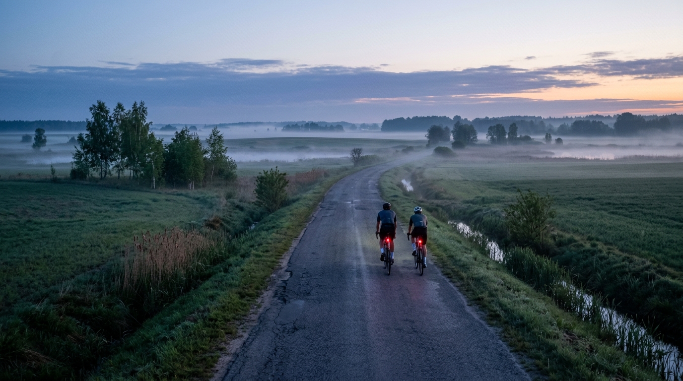
Gugny – Dziękonie – Chojnowo
A 37.5 km point-to-point asphalt route with 118 m of elevation gain, best suited to steady endurance riding rather than climb-focused efforts.
- Distância
- 37.5km
- Subida
- 118m
- Piso
- —
- Formato
- Ponto a ponto
A rota
Perfil de elevação
Gugny - Dziękonie - Chojnowo cycling route
The Gugny - Dziękonie - Chojnowo cycling route is a 37.5 km point-to-point ride on asphalt, with 118 m of elevation gain. That combination tells you most of what matters tactically: this is not a climbing route, and there are no notable climbs listed. The difficulty will come less from sustained gradients and more from how consistently you can hold speed across a relatively low-elevation profile.
For a data-driven rider, that makes it a useful controlled-effort route. The distance is long enough for a meaningful endurance session, but the limited climbing means the ride should reward smooth pacing rather than repeated surges. If you are riding by power, it is the kind of course where a steady aerobic target or controlled tempo block can stay relatively clean, assuming normal road and weather conditions. If you need to anchor the effort, use your /glossary/ftp rather than chasing speed alone.
Terrain and ride character
Expect an asphalt ride with a low total elevation load. With just 118 m of gain across 37.5 km, the route profile should feel broadly flat to gently rolling rather than mountainous or punchy. There is no listed climb that defines the route, so the key is not saving energy for one decisive ascent. Instead, the better approach is to keep pressure on the pedals, avoid unnecessary accelerations, and let the route accumulate smoothly.
Because it is not a loop, logistics matter more than they would on a simple out-and-back. Plan how you will get back from the finish, whether that means arranging transport, continuing onward, or reversing the route for a longer day. Reversing it would change the ride length and total workload, so treat that as a separate session rather than assuming it is just a neutral add-on.
How to ride it
This route suits:
- Endurance rides where consistency is the priority
- Tempo work on asphalt without major climbing interruptions
- A lower-stress point-to-point ride when you do not want repeated climbs
- Riders who want a measured 37.5 km effort rather than a technical or mountainous route
The main pacing mistake would be riding it too hard early because the profile does not look intimidating. Low-elevation routes often make speed feel cheap at the start, but a 37.5 km point-to-point effort still rewards restraint. Settle in, hold a sustainable rhythm, and avoid turning every small rise or change in road speed into a power spike.
Practical notes
The surface is listed as asphalt, so standard road-bike equipment is the natural fit. Still, because the route is point-to-point rather than a loop, carry what you need to be self-sufficient to the finish. A simple repair kit, enough fluid, and a clear plan for the end of the ride matter more here than saving a small amount of weight.
In short, Gugny - Dziękonie - Chojnowo is a steady asphalt route with modest climbing and a straightforward training use case: keep it smooth, pace it properly, and treat the point-to-point format as the main planning variable.
Rotas relacionadas
3-Länder-Radweg
A 302.2 km asphalt route in Germany with 1512 m of climbing and point-to-point logistics shaped by the Reußenkreuz climb.
7 Peaks Alpine Challenge
A 110.9 km point-to-point assault through the Victorian Alps, stacking 3404 metres of climbing across relentless, wind-swept high-country ascents.
Aberdare Range
A 46 km asphalt point-to-point through Kenya's Central Highlands that trades big climbs for a relentless 1,700 m of rolling grind.
Abra Málaga
A 45-kilometer point-to-point ribbon of asphalt through Peru's Sacred Valley, climbing 1,699 relentless meters into the high Andes.
Afriski Mahlasela Pass
A 112.8 km asphalt ascent through the Maloti Mountains, climbing 3,384 m to the roof of southern Africa via the storied Mahlasela Pass.
Ahr Cycleway
An 82.9 km asphalt point-to-point route with 541 m of gain, the Ahr Cycleway is a steady endurance ride rather than a climb-focused day.