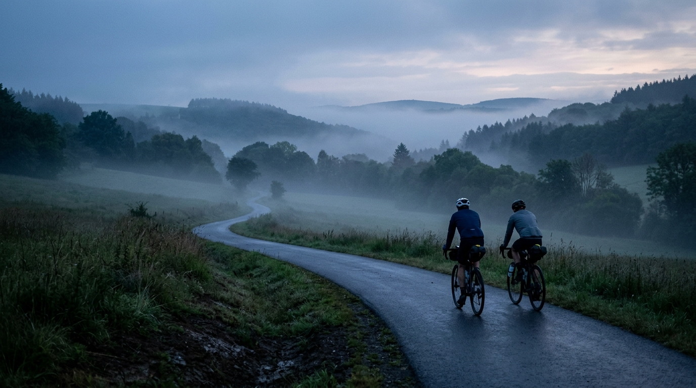
Eifel-Ardennes Cycle Path
A 132.8 km asphalt point-to-point route with 1132 m of elevation gain, best treated as a steady endurance ride rather than a single-climb objective.
- Distância
- 132.8km
- Subida
- 1,132m
- Piso
- —
- Formato
- Ponto a ponto
A rota
Perfil de elevação
Eifel-Ardennes Cycle Path cycling route overview
The Eifel-Ardennes Cycle Path is a 132.8 km asphalt route with 1132 m of elevation gain. It is not listed as a loop, so the defining feature is not just the terrain - it is the logistics. This is a point-to-point ride that rewards a clean plan before the first pedal stroke.
The climbing total is significant enough to shape the day, but the absence of listed notable climbs changes how to pace it. This is not a route built around one obvious set-piece ascent where the effort can be timed, targeted, and mentally isolated. Instead, expect the elevation gain to accumulate across the ride. That usually makes discipline more important than aggression: repeated small and medium efforts can be more costly than they feel if they are ridden above sustainable endurance intensity.
Terrain and ride character
With asphalt as the listed surface, the route sits firmly in road and all-road territory. The key demand is duration combined with rolling elevation, not surface unpredictability. That makes it well suited to a steady aerobic ride, a long endurance day, or a controlled tempo outing if the rider is fit enough to absorb the full distance.
The main tactical mistake would be treating the early part like a normal short road spin. Over 132.8 km, small pacing errors compound. Keep the first portion controlled, especially on any rising terrain, because the 1132 m of gain means there will be enough vertical work to expose overreaching later.
For riders using power, anchor the day around sustainable endurance rather than chasing every rise. If you need a refresher on setting realistic zones, use /glossary/ftp or estimate your benchmark with /tools/ftp-estimator before building a pacing plan.
Practical notes
Because the route is not a loop, decide in advance how the finish will work. Do not leave transport, pickup timing, or return travel as an afterthought. A point-to-point ride can be simple when planned well, but awkward when the end of the route arrives with tired legs and no clear exit.
The asphalt surface reduces equipment uncertainty, but the distance still argues for reliability over minimalism. Bring enough food for a long ride, carry tools for basic mechanicals, and load the route in advance rather than relying on improvised navigation.
Who it suits
This route is best for riders who want a substantial endurance ride with meaningful climbing, but without a named climb defining the day. The challenge is cumulative: distance, elevation gain, and point-to-point execution. Ride it patiently and it should feel like a well-paced endurance project. Ride it reactively, and the back half can become much harder than the headline numbers suggest.
Rotas relacionadas
3-Länder-Radweg
A 302.2 km asphalt route in Germany with 1512 m of climbing and point-to-point logistics shaped by the Reußenkreuz climb.
7 Peaks Alpine Challenge
A 110.9 km point-to-point assault through the Victorian Alps, stacking 3404 metres of climbing across relentless, wind-swept high-country ascents.
Aberdare Range
A 46 km asphalt point-to-point through Kenya's Central Highlands that trades big climbs for a relentless 1,700 m of rolling grind.
Abra Málaga
A 45-kilometer point-to-point ribbon of asphalt through Peru's Sacred Valley, climbing 1,699 relentless meters into the high Andes.
Afriski Mahlasela Pass
A 112.8 km asphalt ascent through the Maloti Mountains, climbing 3,384 m to the roof of southern Africa via the storied Mahlasela Pass.
Ahr Cycleway
An 82.9 km asphalt point-to-point route with 541 m of gain, the Ahr Cycleway is a steady endurance ride rather than a climb-focused day.