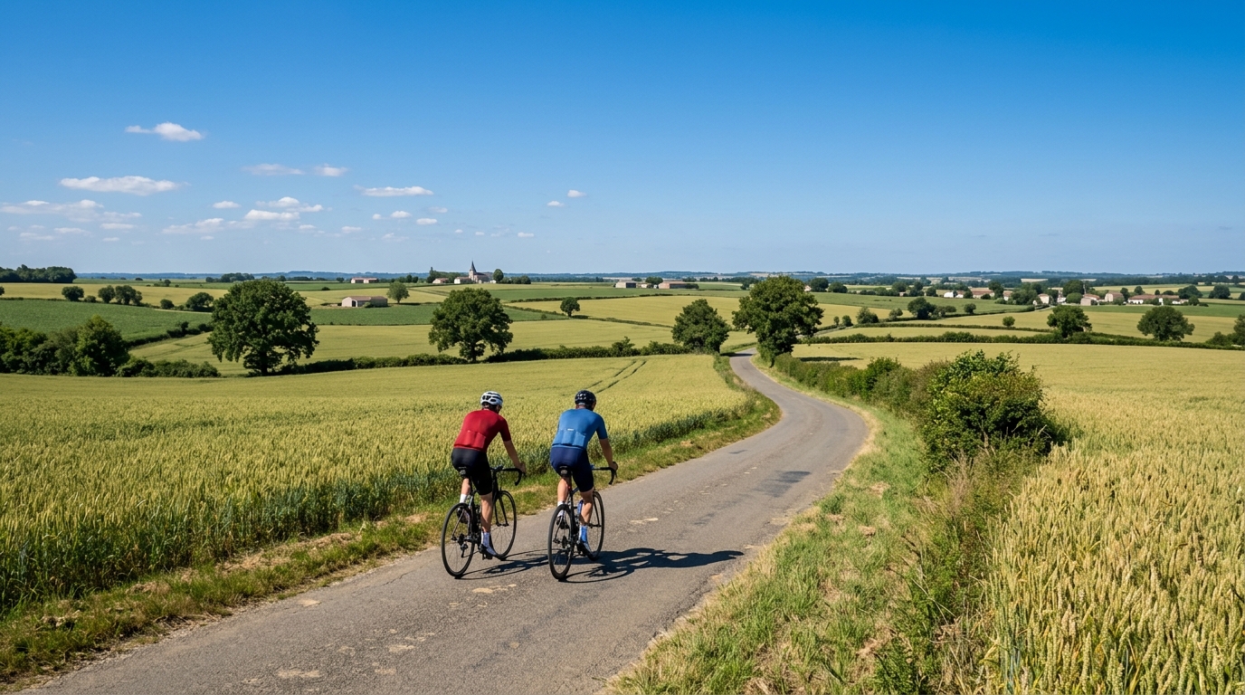
boucle des Sources
A short asphalt loop in France with 12.1 km and just 23 m of elevation gain, suited to controlled riding rather than climbing ambition.
- Distância
- 12.1km
- Subida
- 23m
- Piso
- —
- Formato
- Circuito
A rota
Perfil de elevação
Route character
The boucle des Sources cycling route is a compact asphalt loop in France, covering 12.1 km with 23 m of elevation gain. That profile tells you almost everything important about how this ride is likely to feel: this is not a climbing route, and it is not a terrain test built around repeated elevation changes. It is a short, low-vertical loop where pacing, smoothness, and consistency matter more than managing long gradients.
Because the route is a loop, it suits riders who want a clean start-to-finish circuit rather than an out-and-back. That matters practically. A loop usually makes the ride easier to structure: warm up into the opening kilometres, settle into rhythm through the middle, then use the final section to finish with control rather than simply turning around and retracing the same road.
Terrain and pacing
With only 23 m of elevation gain across 12.1 km, the main tactical mistake would be treating the ride as too easy and letting the effort drift. Low-elevation routes can still become productive if ridden with intent. On asphalt, the obvious use case is steady aerobic work, cadence practice, or a short controlled effort where you want the road to stay out of the way.
There are no notable climbs listed for the boucle des Sources, so the ride is unlikely to be defined by any single selection point. Instead, the challenge is self-imposed: holding an even effort, keeping pressure on the pedals through minor terrain changes, and avoiding the stop-start rhythm that can dilute a short session. If you ride with power, this is the kind of route where staying disciplined around /glossary/ftp matters more than chasing surges.
Who it suits
This route makes the most sense for:
- A short endurance spin on asphalt
- A controlled recovery ride where climbing load needs to stay low
- Cadence or position work without major terrain disruption
- A simple loop when time is limited
It is less suited to riders looking for a climbing stimulus or a route with decisive elevation-based intervals. The numbers do not support that kind of session. If the goal is muscular climbing work, this is not the right tool. If the goal is repeatable, low-complexity riding, it fits well.
Practical notes
The key practical point is simplicity. At 12.1 km, the loop is short enough to be ridden as a standalone easy ride or repeated if a longer session is needed, while the 23 m of elevation gain keeps the physical cost predictable. The asphalt surface also makes equipment choice straightforward: a standard road setup is the natural match.
Treat the boucle des Sources as a precision route rather than a spectacle route. Its value is not in dramatic terrain. Its value is that it gives you a short, paved circuit where the limiting factor is how well you execute the ride.
Rotas relacionadas
3-Länder-Radweg
A 302.2 km asphalt route in Germany with 1512 m of climbing and point-to-point logistics shaped by the Reußenkreuz climb.
7 Peaks Alpine Challenge
A 110.9 km point-to-point assault through the Victorian Alps, stacking 3404 metres of climbing across relentless, wind-swept high-country ascents.
Aberdare Range
A 46 km asphalt point-to-point through Kenya's Central Highlands that trades big climbs for a relentless 1,700 m of rolling grind.
Abra Málaga
A 45-kilometer point-to-point ribbon of asphalt through Peru's Sacred Valley, climbing 1,699 relentless meters into the high Andes.
Afriski Mahlasela Pass
A 112.8 km asphalt ascent through the Maloti Mountains, climbing 3,384 m to the roof of southern Africa via the storied Mahlasela Pass.
Ahr Cycleway
An 82.9 km asphalt point-to-point route with 541 m of gain, the Ahr Cycleway is a steady endurance ride rather than a climb-focused day.