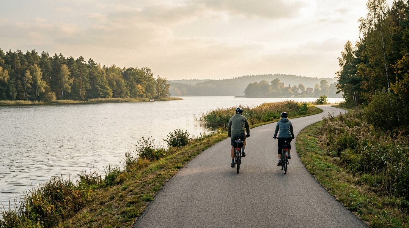
Białe and Studzieniczne Lakes Cycle Route
A short asphalt point-to-point route built around Białe and Studzieniczne Lakes, with minimal climbing and a steady, accessible ride profile.
- Distância
- 22.3km
- Subida
- 62m
- Piso
- —
- Formato
- Ponto a ponto
A rota
Perfil de elevação
Route character
The Białe and Studzieniczne Lakes Cycle Route cycling route is a short, asphalt ride with a simple profile: 22.3 km in distance, 62 m of elevation gain, and no notable climbs. That combination matters because it shifts the ride away from sustained climbing or technical pacing and toward rhythm, surface management, and how you handle a point-to-point course.
This is not a route that asks for repeated high-power efforts. With only 62 m of gain spread across the full distance, the terrain should feel controlled rather than selective. The main limiter is more likely to be wind, surface interruptions, traffic context, or how evenly you ride, rather than gradient. If you want a compact endurance spin or a low-stress aerobic session, the profile supports that well.
Terrain and pacing
The asphalt surface is the key practical detail. It makes the route suitable for a road bike, endurance bike, or fast hybrid, and it also means pacing can stay smooth rather than being broken up by loose or rough sections. Because there are no listed notable climbs, there is little reason to surge early. A steady effort will almost always make more sense than treating the route like a sequence of attacks.
Think of this as a ride where efficiency is the goal. Stay relaxed, keep cadence consistent, and avoid turning small rises into unnecessary threshold work. If you track /glossary/elevation-gain, the number here tells a clear story: the route is more about carrying speed than managing vertical load.
Point-to-point logistics
The route is not a loop, so planning matters more than the distance suggests. Before starting, decide whether the ride is a one-way transfer, an out-and-back extension, or part of a longer day. If you need to return to the start, the non-loop format effectively changes the practical demand of the ride, even if the listed route itself remains 22.3 km.
That point-to-point character can be useful. It gives the route a clean directional purpose, which is good for riders who want a defined segment rather than a circular training loop. It also means nutrition and kit can stay simple, but not careless. Carry enough to handle the full route plus whatever return plan you choose.
Who it suits
This route suits riders looking for accessible distance, predictable surface, and low climbing load. It is especially useful as an easy endurance day, a recovery-oriented spin, or a short route to add volume without accumulating much fatigue. Stronger riders can ride it briskly, but the course profile does not reward overcomplication. The fastest way to ride it well is also the simplest: settle in, stay smooth, and let the flat asphalt character do the work.
Rotas relacionadas
3-Länder-Radweg
A 302.2 km asphalt route in Germany with 1512 m of climbing and point-to-point logistics shaped by the Reußenkreuz climb.
7 Peaks Alpine Challenge
A 110.9 km point-to-point assault through the Victorian Alps, stacking 3404 metres of climbing across relentless, wind-swept high-country ascents.
Aberdare Range
A 46 km asphalt point-to-point through Kenya's Central Highlands that trades big climbs for a relentless 1,700 m of rolling grind.
Abra Málaga
A 45-kilometer point-to-point ribbon of asphalt through Peru's Sacred Valley, climbing 1,699 relentless meters into the high Andes.
Afriski Mahlasela Pass
A 112.8 km asphalt ascent through the Maloti Mountains, climbing 3,384 m to the roof of southern Africa via the storied Mahlasela Pass.
Ahr Cycleway
An 82.9 km asphalt point-to-point route with 541 m of gain, the Ahr Cycleway is a steady endurance ride rather than a climb-focused day.