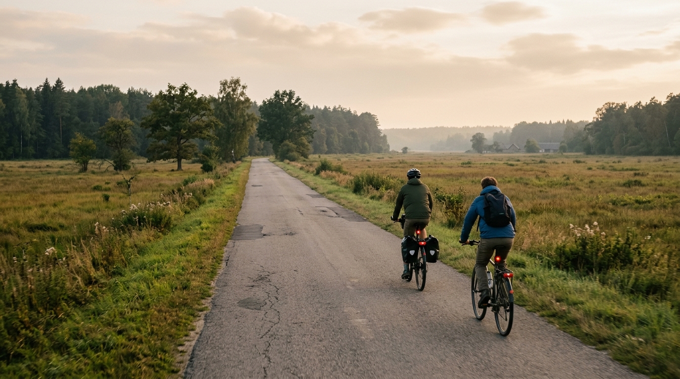
Around Białowieża and Białowieża Clearing
A short asphalt ride of 13 km with 47 m of elevation gain, best treated as a smooth, controlled route rather than a climbing objective.
- Distância
- 13km
- Subida
- 47m
- Piso
- —
- Formato
- Ponto a ponto
A rota
Perfil de elevação
Around Białowieża and Białowieża Clearing cycling route
The Around Białowieża and Białowieża Clearing cycling route is a short, asphalt ride that asks for smooth pacing rather than climbing strength. At 13 km with 47 m of elevation gain, the route sits firmly in the low-stress category, but that does not make it meaningless. Short routes like this are useful because they expose how well a rider manages rhythm when the terrain gives very little forced structure.
With no notable climbs listed, there is no obvious place to wait, surge, or reset. That changes the character of the ride. Instead of riding climb to climb, the better approach is to hold an even pressure on the pedals and let the route flow. The limited elevation gain means speed will likely be shaped more by surface, wind, corners, and how consistently you can stay on top of the gear than by any sustained uphill effort.
Terrain and ride feel
The surface is asphalt, so this is a road-friendly route rather than something that demands gravel setup or defensive equipment choices. A standard road bike, endurance bike, or fast hybrid makes sense. Because the climbing load is light, tyre choice and position can matter more than gearing range. You are not preparing for steep gradients here. You are preparing for a short ride where efficiency comes from carrying momentum.
The 47 m of gain over 13 km points to a route that should feel gently rolling at most, not mountainous or selective. That makes it accessible for newer riders while still useful for experienced cyclists looking for an easy spin, a recovery day, or a controlled aerobic add-on. If you are watching effort, this is the kind of route where staying below threshold should be straightforward, provided you do not turn every small rise or acceleration into a test. For pacing reference, see /glossary/ftp.
Practical notes
This route is not listed as a loop, which is the main logistical detail. Do not assume you finish where you start. Plan the return ride, arrange transport, or treat it as one part of a longer out-and-back. That matters more here than the elevation profile, because the distance itself is short enough that poor planning can double the day without much warning.
Best use cases
- Easy endurance ride on asphalt
- Recovery spin with minimal climbing stress
- Short route for newer riders building confidence
- Controlled add-on before or after another ride
- Technique-focused ride for smooth cadence and steady pacing
The route is simple on paper, but that simplicity is the point. With 13 km, 47 m of gain, asphalt, and no listed climbs, the ride rewards restraint and consistency. Treat it as a clean, efficient piece of riding rather than a route that will create difficulty for you.
Rotas relacionadas
3-Länder-Radweg
A 302.2 km asphalt route in Germany with 1512 m of climbing and point-to-point logistics shaped by the Reußenkreuz climb.
7 Peaks Alpine Challenge
A 110.9 km point-to-point assault through the Victorian Alps, stacking 3404 metres of climbing across relentless, wind-swept high-country ascents.
Aberdare Range
A 46 km asphalt point-to-point through Kenya's Central Highlands that trades big climbs for a relentless 1,700 m of rolling grind.
Abra Málaga
A 45-kilometer point-to-point ribbon of asphalt through Peru's Sacred Valley, climbing 1,699 relentless meters into the high Andes.
Afriski Mahlasela Pass
A 112.8 km asphalt ascent through the Maloti Mountains, climbing 3,384 m to the roof of southern Africa via the storied Mahlasela Pass.
Ahr Cycleway
An 82.9 km asphalt point-to-point route with 541 m of gain, the Ahr Cycleway is a steady endurance ride rather than a climb-focused day.