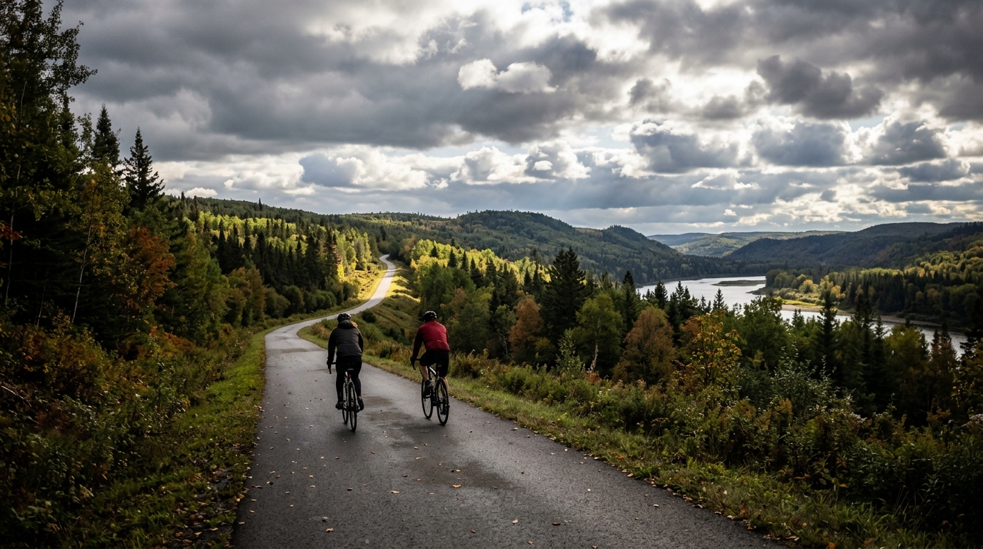
Sentier des Jarrets noirs
A measured asphalt route in CA: 17 km, 114 m of climbing, and a non-loop format that rewards steady pacing and a simple return plan.
- Afstand
- 17km
- Hoogtemeters
- 114m
- Ondergrond
- —
- Vorm
- Punt-naar-punt
De route
Hoogteprofiel
Sentier des Jarrets noirs cycling route
Sentier des Jarrets noirs is a short, asphalt cycling route in CA with a simple profile on paper: 17 km and 114 m of elevation gain. That combination points to a ride where the main challenge is not a defining climb, but how smoothly you carry momentum across the route.
Because there are no notable climbs listed, this is not a route that demands a climbing-specific approach or a deep pacing reset before a major ascent. The better read is that the elevation comes in smaller doses. That changes the way the ride should be approached. Instead of saving everything for one obvious feature, ride it with an even effort and avoid overreacting to each rise in the road.
Terrain and ride character
The asphalt surface makes this a natural fit for a road bike, endurance bike, or any setup that rolls efficiently on pavement. With modest total gain across 17 km, the route should suit riders looking for controlled aerobic work rather than a maximal climbing test.
The useful training value is in consistency. A route like this is well suited to steady endurance riding, low-tempo work, or a short out-and-back style session if you need to extend the time on the bike. If you are using power, keep the effort smooth rather than chasing every small change in speed. For riders thinking in training zones, this is the sort of route where discipline around /glossary/ftp matters more than raw punch.
Practical notes
The key logistical detail is that Sentier des Jarrets noirs is not listed as a loop. That matters more than the elevation profile. A non-loop route means the ride plan needs a return strategy before you start, whether that is retracing the route, arranging transport, or linking it with nearby roads.
A few simple checks will make the ride cleaner:
- Treat the 17 km distance as one direction unless your plan explicitly includes a return.
- Pace by effort, not by speed, since even modest elevation gain can interrupt rhythm.
- Use an asphalt-appropriate setup and normal road pressures for comfort and efficiency.
- Carry enough water and repair gear for the full plan, not just the listed route distance.
Who it suits
This is a good option when you want a compact paved ride without committing to a major climbing day. The profile is approachable, but the non-loop layout means it still rewards planning. Ride it steadily, keep the accelerations under control, and the route becomes a clean, useful piece of endurance work rather than a stop-start effort dictated by terrain.
Vergelijkbare routes
3-Länder-Radweg
A 302.2 km asphalt route in Germany with 1512 m of climbing and point-to-point logistics shaped by the Reußenkreuz climb.
7 Peaks Alpine Challenge
A 110.9 km point-to-point assault through the Victorian Alps, stacking 3404 metres of climbing across relentless, wind-swept high-country ascents.
Aberdare Range
A 46 km asphalt point-to-point through Kenya's Central Highlands that trades big climbs for a relentless 1,700 m of rolling grind.
Abra Málaga
A 45-kilometer point-to-point ribbon of asphalt through Peru's Sacred Valley, climbing 1,699 relentless meters into the high Andes.
Afriski Mahlasela Pass
A 112.8 km asphalt ascent through the Maloti Mountains, climbing 3,384 m to the roof of southern Africa via the storied Mahlasela Pass.
Ahr Cycleway
An 82.9 km asphalt point-to-point route with 541 m of gain, the Ahr Cycleway is a steady endurance ride rather than a climb-focused day.