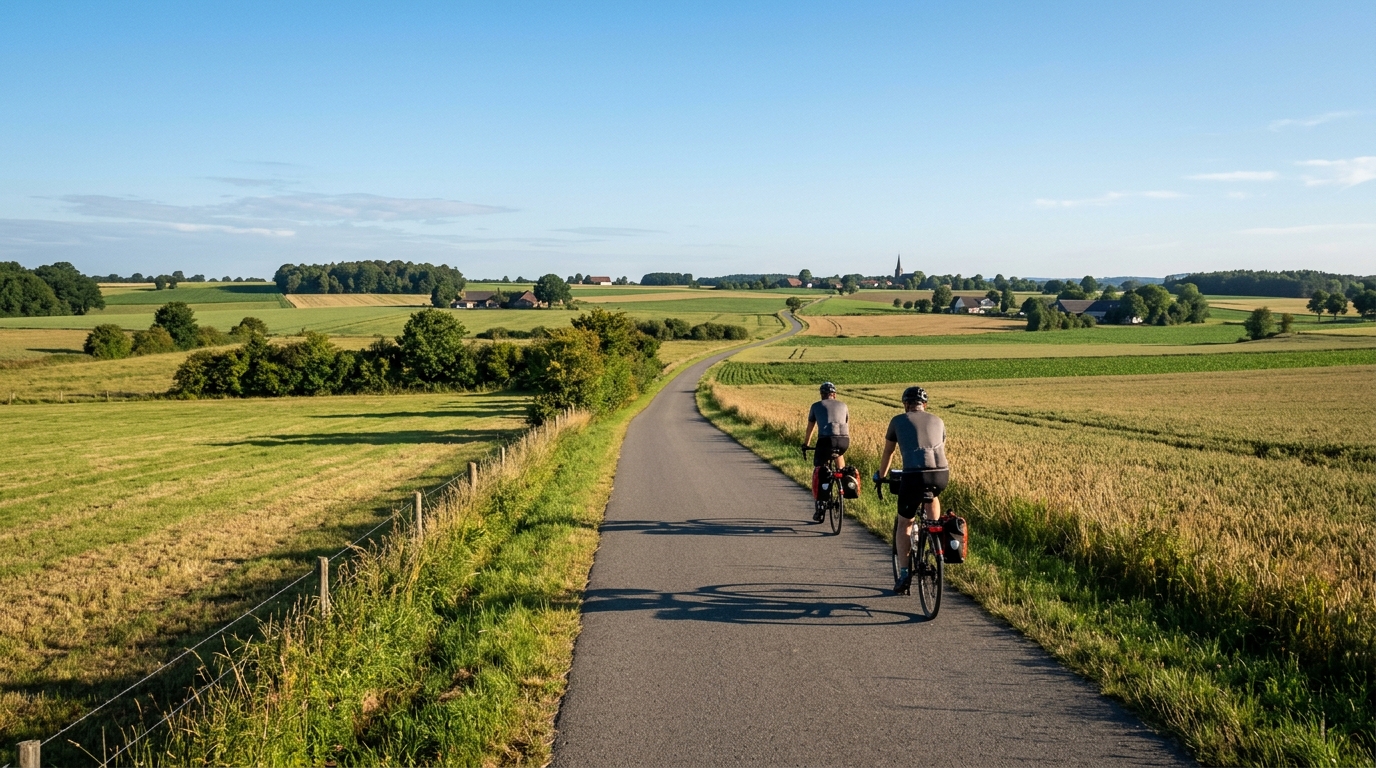
Pengel-Anton-Radweg
A practical guide to the Pengel-Anton-Radweg cycling route: 58.7 km of asphalt riding with minimal elevation gain and a point-to-point layout.
- Afstand
- 58.7km
- Hoogtemeters
- 140m
- Ondergrond
- —
- Vorm
- Punt-naar-punt
De route
Hoogteprofiel
Pengel-Anton-Radweg cycling route overview
The Pengel-Anton-Radweg cycling route is a 58.7 km point-to-point ride on asphalt, with just 140 m of elevation gain. That combination defines the character of the day more clearly than any single landmark could: this is not a climbing route, and it is not a loop you can casually finish back where you started. It is a steady, mostly momentum-based ride where pacing, logistics, and consistency matter more than climbing power.
The low elevation gain means the route should suit riders looking for controlled endurance work rather than repeated surges. There are no notable climbs listed, so the difficulty is likely to come from holding a clean rhythm across the full distance, managing effort over time, and avoiding the common mistake of riding too hard early simply because the terrain does not force restraint.
Terrain and ride feel
With an asphalt surface and limited climbing, the Pengel-Anton-Radweg should reward smooth riding. Expect a route where rolling efficiency matters: tyre choice, position, and steady cadence will shape the experience more than any major gradient change.
For training, this makes the route useful for aerobic endurance, tempo control, or a longer steady ride below FTP. The lack of listed climbs does not make it effortless. A 58.7 km ride still asks for attention to fuelling and pacing, especially because flatter routes can encourage constant pedalling with fewer natural recovery moments.
Pacing notes
Treat the first part as a setup phase rather than a place to prove form. On a route with only 140 m of elevation gain, the temptation is to lock into a fast pace early, but the smarter approach is to keep the effort repeatable and let the average speed build naturally.
A good execution looks like this:
- Start conservatively and avoid chasing speed too early
- Keep pressure smooth on the pedals rather than spiking effort
- Use the asphalt surface to maintain momentum
- Save enough energy for the final section, since the point-to-point format gives no easy mental reset at a halfway loop
Practical planning
Because the route is not a loop, logistics are the main practical consideration. Plan the start and finish before riding, especially if you need transport back, are meeting another rider, or are using it as part of a longer day.
The available route data does not specify services, towns, water points, traffic exposure, or navigation complexity, so do not assume support along the way. Load the route in advance, check current local conditions, and carry what you need for the full 58.7 km. The simplicity of the profile is a strength, but it also means the ride is best approached as a steady execution problem: choose the right effort, stay organised, and let the route’s low-gradient character work for you.
Vergelijkbare routes
3-Länder-Radweg
A 302.2 km asphalt route in Germany with 1512 m of climbing and point-to-point logistics shaped by the Reußenkreuz climb.
7 Peaks Alpine Challenge
A 110.9 km point-to-point assault through the Victorian Alps, stacking 3404 metres of climbing across relentless, wind-swept high-country ascents.
Aberdare Range
A 46 km asphalt point-to-point through Kenya's Central Highlands that trades big climbs for a relentless 1,700 m of rolling grind.
Abra Málaga
A 45-kilometer point-to-point ribbon of asphalt through Peru's Sacred Valley, climbing 1,699 relentless meters into the high Andes.
Afriski Mahlasela Pass
A 112.8 km asphalt ascent through the Maloti Mountains, climbing 3,384 m to the roof of southern Africa via the storied Mahlasela Pass.
Ahr Cycleway
An 82.9 km asphalt point-to-point route with 541 m of gain, the Ahr Cycleway is a steady endurance ride rather than a climb-focused day.