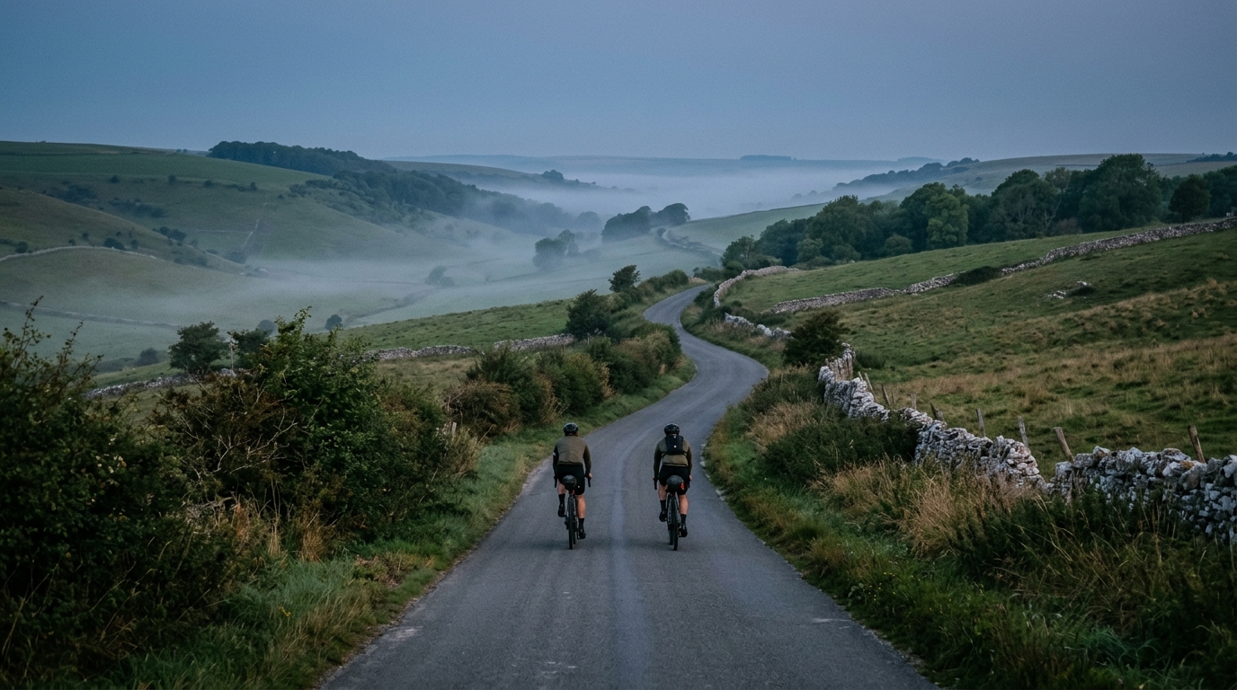
Yorkshire Wolds Cycle Route
A practical guide to the Yorkshire Wolds Cycle Route cycling route: 285.1 km of asphalt riding with 1443 m of elevation gain on a non-loop course.
- Distanza
- 285.1km
- Dislivello
- 1,443m
- Fondo
- —
- Forma
- Punto a punto
Il percorso
Profilo altimetrico
Yorkshire Wolds Cycle Route cycling route
The Yorkshire Wolds Cycle Route is a long asphalt ride in Great Britain, covering 285.1 km with 1443 m of elevation gain. The defining feature is not a single decisive climb, but the way the distance turns a moderate vertical total into a sustained endurance problem.
That matters tactically. With 1443 m spread across 285.1 km, the route is not shaped like a pure climbing day, but it still demands respect. The elevation gain is enough to create repeated changes in rhythm, especially once fatigue starts to dull accelerations and make small rises feel more expensive. Riders who treat it as an easy flat roll risk paying later, not because the climbing load is extreme, but because the route is long enough for small pacing errors to compound.
Terrain and ride feel
The surface is asphalt, which keeps the ride firmly in road-cycling territory. That should make bike choice straightforward: a road bike, endurance road setup, or fast all-road bike makes sense, assuming tyres and position are selected for comfort over a long day or multi-day effort.
The absence of listed notable climbs is useful context. This is not a route built around named ascents or obvious set-piece climbing efforts. Instead, expect the challenge to come from duration, steady forward pressure, and managing effort over a route that does not return to its start.
Because it is not a loop, logistics matter more than they would on a local circuit. Plan transport, overnight stops if splitting the distance, and bailout options before the ride rather than improvising once fatigue is already influencing decisions.
Pacing notes
The smartest approach is to ride it as an endurance route first and a speed target second. Keep early intensity controlled, especially on rises, and avoid turning every change in gradient into a threshold effort. If using power, anchor the day around sustainable endurance pacing rather than chasing short-term speed. For reference, calibrating effort against /glossary/ftp is more useful here than focusing on peak power.
Practical priorities:
- Treat the 285.1 km distance as the main limiter.
- Respect the 1443 m of elevation gain, even without major climbs.
- Use the asphalt surface to your advantage with efficient tyres and steady cadence.
- Plan the non-loop logistics before committing to the route.
Who it suits
This route suits riders who want a substantial road endurance challenge without a climb-focused profile. It rewards consistency, fuelling discipline, and conservative pacing. The riders who handle it best will be the ones who understand that a long route with moderate elevation can still become selective late, simply because the body has to keep producing useful power for a very long time.
Percorsi correlati
3-Länder-Radweg
A 302.2 km asphalt route in Germany with 1512 m of climbing and point-to-point logistics shaped by the Reußenkreuz climb.
7 Peaks Alpine Challenge
A 110.9 km point-to-point assault through the Victorian Alps, stacking 3404 metres of climbing across relentless, wind-swept high-country ascents.
Aberdare Range
A 46 km asphalt point-to-point through Kenya's Central Highlands that trades big climbs for a relentless 1,700 m of rolling grind.
Abra Málaga
A 45-kilometer point-to-point ribbon of asphalt through Peru's Sacred Valley, climbing 1,699 relentless meters into the high Andes.
Afriski Mahlasela Pass
A 112.8 km asphalt ascent through the Maloti Mountains, climbing 3,384 m to the roof of southern Africa via the storied Mahlasela Pass.
Ahr Cycleway
An 82.9 km asphalt point-to-point route with 541 m of gain, the Ahr Cycleway is a steady endurance ride rather than a climb-focused day.