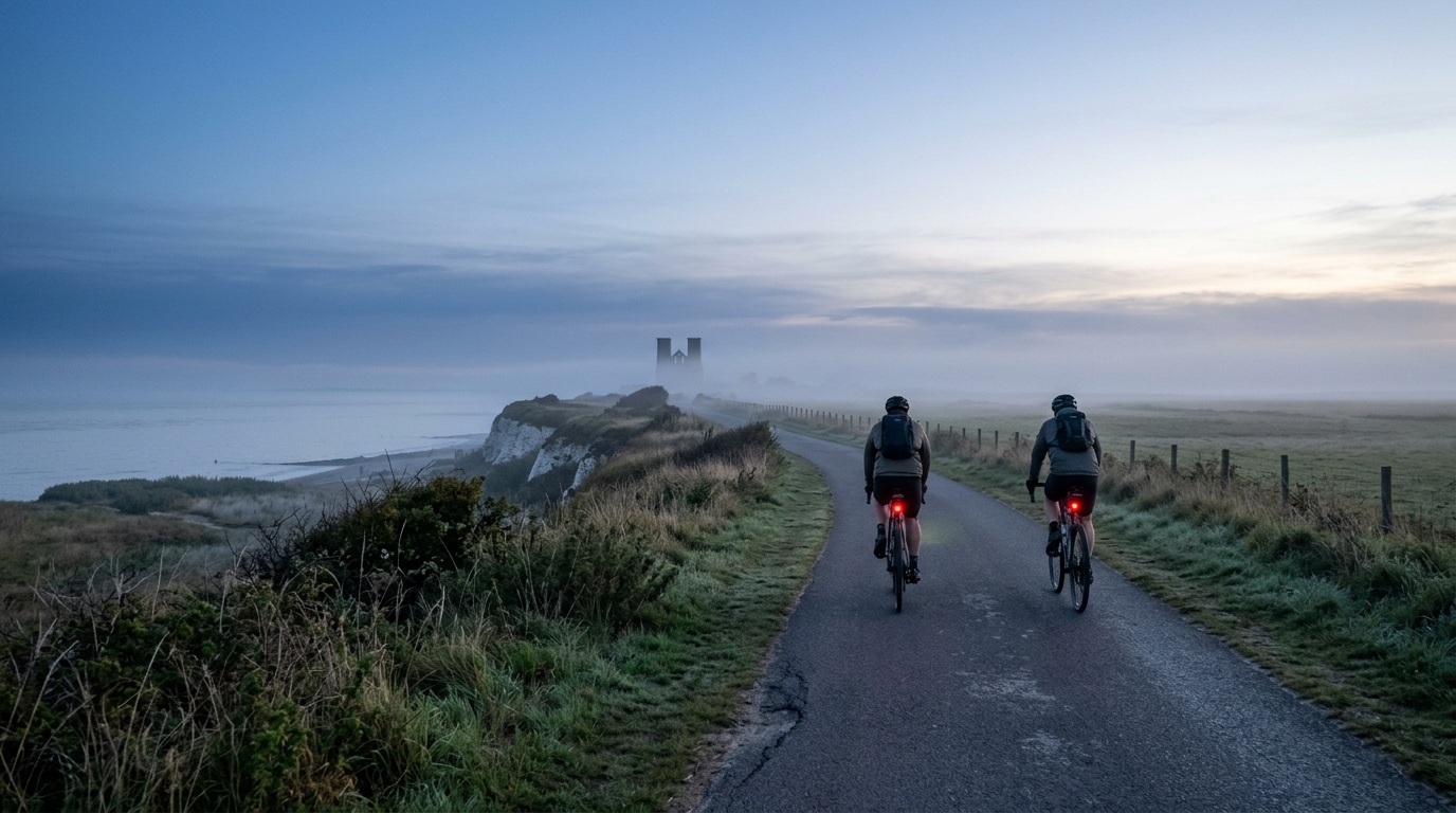
Viking Coastal Trail
A practical guide to the 117.2 km Viking Coastal Trail cycling route, an asphalt point-to-point ride with modest elevation gain.
- Distanza
- 117.2km
- Dislivello
- 225m
- Fondo
- —
- Forma
- Punto a punto
Il percorso
Profilo altimetrico
Viking Coastal Trail cycling route overview
The Viking Coastal Trail cycling route is best understood as a distance-led endurance ride rather than a climbing challenge. The route covers 117.2 km on asphalt, with 225 m of total elevation gain and no notable climbs listed in the route data. That combination gives the ride a very clear character: the difficulty comes from holding position, pacing well, and staying fueled across a long day, not from managing sustained gradients.
It is also not a loop, which matters more than it might seem. A non-loop route changes the logistics before the ride even starts. You need a clear plan for the finish, whether that means arranging transport, linking it into a longer itinerary, or accepting that any return leg sits outside the supplied route.
Terrain and ride feel
With asphalt as the listed surface, this is a road-oriented route. The low total elevation gain relative to the 117.2 km distance points toward a course where rhythm is more important than repeated climbing efforts. There may still be small rises, changes in exposure, or variations in road feel, but nothing in the supplied data suggests a climb that should define the ride.
That shifts the pacing problem. On a route with no notable climbs, it is easy to ride slightly too hard early because there is no obvious terrain feature forcing restraint. The better approach is to treat the first part as controlled endurance work, keep pressure smooth on the pedals, and avoid turning every shallow rise or open section into a threshold effort. If you ride by power, this is the kind of profile where discipline around /glossary/ftp matters more than punch.
What to expect
Expect a long asphalt ride where efficiency compounds. Small choices - tire pressure, position, fueling, and how often you surge - will have a bigger effect than any single climb. The 225 m of elevation gain means the route should not require specialist climbing gearing for most riders, but the full 117.2 km distance still demands respect.
The absence of listed notable climbs also makes group dynamics important. In a bunch, a flatter route often rewards smooth turns, steady pulls, and avoiding unnecessary accelerations. Solo, it rewards patience. Either way, the route is likely to feel manageable until accumulated fatigue starts to matter.
Practical notes
- Plan it as a point-to-point ride, not a closed circuit.
- Set up for asphalt, with road-focused tires and a position you can hold comfortably.
- Fuel for the full 117.2 km rather than waiting for fatigue to appear.
- Do not let the modest 225 m elevation gain make the route feel trivial. The distance is the load.
- Treat the absence of notable climbs as a pacing cue: steady riding will usually beat repeated surges.
The cleanest way to ride the Viking Coastal Trail is to remove friction from the day. Sort the endpoint logistics, start conservatively, and let the flat-to-gently-rolling profile work for you rather than using it as an excuse to overpace early.
Percorsi correlati
3-Länder-Radweg
A 302.2 km asphalt route in Germany with 1512 m of climbing and point-to-point logistics shaped by the Reußenkreuz climb.
7 Peaks Alpine Challenge
A 110.9 km point-to-point assault through the Victorian Alps, stacking 3404 metres of climbing across relentless, wind-swept high-country ascents.
Aberdare Range
A 46 km asphalt point-to-point through Kenya's Central Highlands that trades big climbs for a relentless 1,700 m of rolling grind.
Abra Málaga
A 45-kilometer point-to-point ribbon of asphalt through Peru's Sacred Valley, climbing 1,699 relentless meters into the high Andes.
Afriski Mahlasela Pass
A 112.8 km asphalt ascent through the Maloti Mountains, climbing 3,384 m to the roof of southern Africa via the storied Mahlasela Pass.
Ahr Cycleway
An 82.9 km asphalt point-to-point route with 541 m of gain, the Ahr Cycleway is a steady endurance ride rather than a climb-focused day.