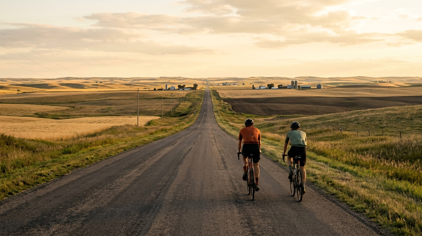
U.S. Bicycle Route 30 in North Dakota
A 234.6 km asphalt, point-to-point route with 544 m of elevation gain and no listed notable climbs.
- Distanza
- 234.6km
- Dislivello
- 544m
- Fondo
- —
- Forma
- Punto a punto
Il percorso
Profilo altimetrico
Route character
U.S. Bicycle Route 30 in North Dakota cycling route is a long asphalt point-to-point ride rather than a compact loop. The headline number is the distance: 234.6 km. That makes this a route where the main challenge is not a single decisive climb, but the accumulation of time on the bike, steady pacing, and keeping the ride organized from start to finish.
The elevation gain is 544 m, and the route data does not list any notable climbs. That matters tactically. A rider should not approach this as a climbing day where the effort is concentrated into a few obvious ramps. Instead, the better assumption is that fatigue will come from duration, repeated small changes in terrain, and the discipline required to avoid burning matches early on a long asphalt route.
Terrain and pacing
With asphalt as the listed surface, equipment choice can stay road-oriented. The route profile, based on the available stats, points toward a steady endurance day rather than a technical mixed-surface outing. The lack of listed notable climbs does not make it easy by default. Over 234.6 km, even modest elevation gain can become meaningful if the pacing is uneven or nutrition slips.
The smart way to ride this is controlled from the start. Keep the opening effort below threshold, settle into a sustainable endurance rhythm, and treat any rises as places to hold pressure rather than surge. If riding with power, this is the kind of route where discipline around /glossary/ftp matters more than chasing short bursts. If your zones are out of date, check them before the ride with /tools/ftp-estimator.
Practical notes
Because this is not a loop, logistics matter. Plan the start and finish as separate points, including transport, pickup, or a deliberate point-to-point itinerary. That is not a minor detail on a 234.6 km ride. A missed transfer plan can turn a clean endurance ride into an avoidable problem.
The route data does not provide service locations, water stops, towns, or bail-out options, so those should be confirmed separately before committing. On a ride of this length, carrying enough food and fluid to bridge uncertain sections is the safer default.
Best suited for
- Endurance riders looking for a long asphalt objective
- Cyclists comfortable managing point-to-point logistics
- Riders who prefer steady terrain over named climbs
- Training days focused on durability, fueling, and pacing restraint
Bottom line
U.S. Bicycle Route 30 in North Dakota is defined by length more than elevation. At 234.6 km with 544 m of gain, no listed notable climbs, and an asphalt surface, it rewards riders who can stay patient, fuel consistently, and solve the practical demands of a non-loop route before the first pedal stroke.
Percorsi correlati
3-Länder-Radweg
A 302.2 km asphalt route in Germany with 1512 m of climbing and point-to-point logistics shaped by the Reußenkreuz climb.
7 Peaks Alpine Challenge
A 110.9 km point-to-point assault through the Victorian Alps, stacking 3404 metres of climbing across relentless, wind-swept high-country ascents.
Aberdare Range
A 46 km asphalt point-to-point through Kenya's Central Highlands that trades big climbs for a relentless 1,700 m of rolling grind.
Abra Málaga
A 45-kilometer point-to-point ribbon of asphalt through Peru's Sacred Valley, climbing 1,699 relentless meters into the high Andes.
Afriski Mahlasela Pass
A 112.8 km asphalt ascent through the Maloti Mountains, climbing 3,384 m to the roof of southern Africa via the storied Mahlasela Pass.
Ahr Cycleway
An 82.9 km asphalt point-to-point route with 541 m of gain, the Ahr Cycleway is a steady endurance ride rather than a climb-focused day.