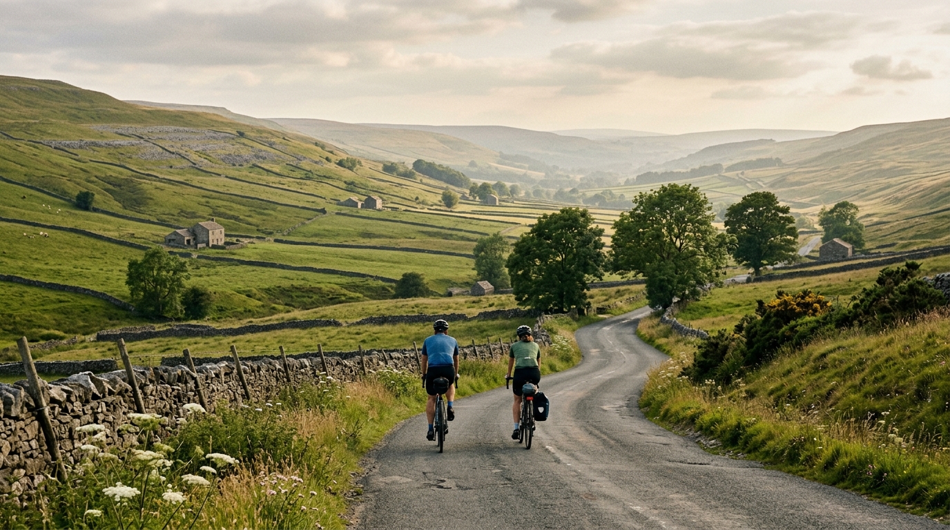
The Way of the Roses
A practical guide to The Way of the Roses cycling route, a 282.9 km asphalt point-to-point ride in GB with 1649 m of climbing.
- Distanza
- 282.9km
- Dislivello
- 1,649m
- Fondo
- —
- Forma
- Punto a punto
Il percorso
Profilo altimetrico
The character of the ride
The Way of the Roses cycling route is a long asphalt point-to-point ride across GB, with 282.9 km of distance and 1649 m of elevation gain. The numbers tell you most of what matters: this is a route where endurance management matters more than pure climbing ability, but the climbing is still significant enough to shape pacing, fueling, and equipment choices.
Because it is not a loop, the first practical decision is logistical rather than physical. Transport at both ends needs to be solved before the ride starts. That changes the way the route should be approached: there is no simple bail-out to the start, and no easy reset if pacing or nutrition goes wrong early.
Terrain and pacing
The surface is asphalt, so the route suits a road bike or fast all-road setup rather than anything built around off-road capability. That does not make it easy. At 282.9 km, accumulated fatigue becomes the defining feature. Even modest gradients feel different once they arrive deep into a long ride, especially if the early kilometres have been ridden too hard.
The elevation gain of 1649 m means the profile is not a flat endurance cruise. It is also not a route defined only by climbing. That balance is important. Riders who treat it like a climber’s day may over-prioritise weight and under-prioritise comfort. Riders who treat it like a flat distance challenge may arrive at the key uphill sections without enough reserve.
A sensible strategy is to ride below threshold, keep pressure controlled on rises, and avoid chasing speed across the route’s easier ground. If using power, anchor the day around sustainable endurance output rather than repeated surges. For riders setting zones, /glossary/ftp is useful context, but the real limiter here is execution over time.
Trough of Bowland
The named climb in the route context is Trough of Bowland, and that matters tactically. A named climb on a route with this total distance is not just a scenic feature - it is a pacing checkpoint. The mistake is to arrive there already carrying unnecessary fatigue, then let the climb force a bigger metabolic cost than planned.
Approach it with gears that allow seated climbing at a controlled cadence. The goal is not to win the climb. The goal is to clear it without turning the rest of the ride into damage control.
Practical notes
- Plan the start and finish transfer carefully because the route is point-to-point.
- Choose tyres and kit around asphalt efficiency, but do not ignore comfort over 282.9 km.
- Fuel early and consistently. The distance is long enough that under-eating becomes hard to correct later.
- Save effort for the climbing. With 1649 m of gain, restraint on the flatter sections is not optional.
- Treat Trough of Bowland as a decisive energy-management point, not just a climb to get over.
The cleanest way to ride The Way of the Roses is with patience. The route rewards riders who keep the first half under control, respect the climbing, and solve the logistics before they ever turn a pedal.
Percorsi correlati
3-Länder-Radweg
A 302.2 km asphalt route in Germany with 1512 m of climbing and point-to-point logistics shaped by the Reußenkreuz climb.
7 Peaks Alpine Challenge
A 110.9 km point-to-point assault through the Victorian Alps, stacking 3404 metres of climbing across relentless, wind-swept high-country ascents.
Aberdare Range
A 46 km asphalt point-to-point through Kenya's Central Highlands that trades big climbs for a relentless 1,700 m of rolling grind.
Abra Málaga
A 45-kilometer point-to-point ribbon of asphalt through Peru's Sacred Valley, climbing 1,699 relentless meters into the high Andes.
Afriski Mahlasela Pass
A 112.8 km asphalt ascent through the Maloti Mountains, climbing 3,384 m to the roof of southern Africa via the storied Mahlasela Pass.
Ahr Cycleway
An 82.9 km asphalt point-to-point route with 541 m of gain, the Ahr Cycleway is a steady endurance ride rather than a climb-focused day.