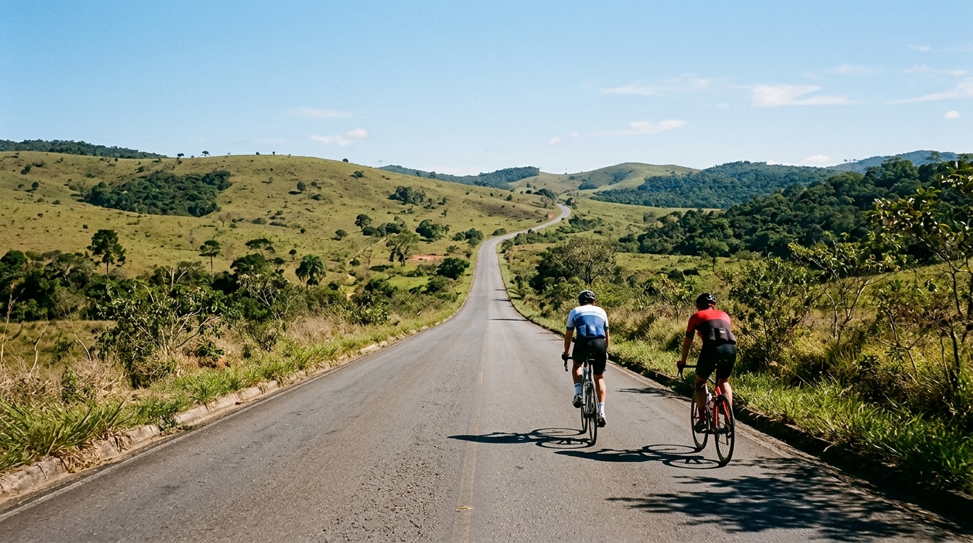
Rota Matuta
Rota Matuta is a 173.5 km asphalt loop in BR with 1631 m of elevation gain, built around endurance pacing rather than one named climb.
- Distanza
- 173.5km
- Dislivello
- 1,631m
- Fondo
- —
- Forma
- Anello
Il percorso
Profilo altimetrico
Route character
The Rota Matuta cycling route is a 173.5 km asphalt loop in BR, with 1631 m of elevation gain. That combination tells you most of what matters before looking at anything else: this is not a short punchy circuit, and it is not defined by one listed marquee ascent. It is a long endurance ride where the accumulation of distance and climbing is the main difficulty.
Because the route is a loop, the effort profile is psychologically different from an out-and-back or point-to-point ride. You are committing to a full circuit, so pacing mistakes compound. The 1631 m of gain is enough to make climbing efficiency relevant, but the absence of notable climbs in the supplied route data suggests the route is more likely to reward steady management than a single all-in climbing effort.
Terrain and pacing
The asphalt surface makes this a road-focused route. That does not make it easy. Over 173.5 km, small inefficiencies become expensive: surging over rises, riding above threshold too often, or treating early climbs like isolated efforts can all show up late in the ride.
The smarter approach is to ride the opening portion below ego pace, especially if using power. Keep the climbing controlled relative to /glossary/ftp, then let the route come back to you as fatigue starts to separate riders who paced well from riders who simply felt good early.
With no notable climbs listed, the tactical problem is less about preparing for one decisive gradient and more about avoiding repeated small overreaches. On a route like this, the winning move for most riders is not one attack. It is keeping the pressure smooth enough that nutrition, cadence, and position stay intact deep into the loop.
Practical notes
Bike and setup
A standard road setup fits the route profile: asphalt surface, long distance, and enough elevation gain to make weight and rolling efficiency matter. Comfort still deserves priority because 173.5 km is long enough for fit issues, tire pressure choices, and hand position fatigue to become performance limiters.
Fueling and effort control
Treat this as an endurance route first. The distance is the defining feature, and the 1631 m of climbing makes under-fueling a bigger risk than the headline elevation number might suggest. Eat and drink before fatigue is obvious, and avoid letting climbs dictate an uneven effort pattern.
What to expect
Expect a long asphalt loop where the challenge builds gradually. The route data does not point to a named climb that defines the day, so the ride is likely decided by consistency: measured climbing, disciplined pacing, and enough patience to finish the circuit without turning the final section into damage control.
Percorsi correlati
3-Länder-Radweg
A 302.2 km asphalt route in Germany with 1512 m of climbing and point-to-point logistics shaped by the Reußenkreuz climb.
7 Peaks Alpine Challenge
A 110.9 km point-to-point assault through the Victorian Alps, stacking 3404 metres of climbing across relentless, wind-swept high-country ascents.
Aberdare Range
A 46 km asphalt point-to-point through Kenya's Central Highlands that trades big climbs for a relentless 1,700 m of rolling grind.
Abra Málaga
A 45-kilometer point-to-point ribbon of asphalt through Peru's Sacred Valley, climbing 1,699 relentless meters into the high Andes.
Afriski Mahlasela Pass
A 112.8 km asphalt ascent through the Maloti Mountains, climbing 3,384 m to the roof of southern Africa via the storied Mahlasela Pass.
Ahr Cycleway
An 82.9 km asphalt point-to-point route with 541 m of gain, the Ahr Cycleway is a steady endurance ride rather than a climb-focused day.