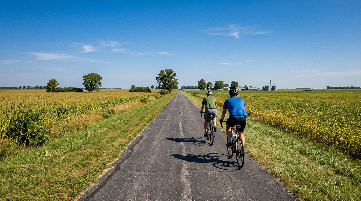
Ohio-to-Indiana Trail
A flat, asphalt point-to-point route built for steady endurance riding rather than climbing or technical terrain.
- Distanza
- 61.1km
- Dislivello
- 53m
- Fondo
- —
- Forma
- Punto a punto
Il percorso
Profilo altimetrico
Route character
The Ohio-to-Indiana Trail cycling route is a 61.1 km asphalt ride in the US with just 53 m of elevation gain. That profile tells you almost everything about the character of the day: this is not a route defined by climbing, repeated accelerations over steep terrain, or technical surface management. It is a point-to-point endurance ride where the main limiter is likely to be pacing, wind exposure, fueling discipline, and the simple logistics of not finishing where you started.
Because there are no notable climbs listed, the route should ride as a steady aerobic effort rather than a course that forces major power spikes. That makes it well-suited to riders looking for controlled endurance work, tempo blocks, or a low-climbing day where the output can stay close to target. If you are using power, this is the kind of route where riding to /glossary/ftp zones can be more useful than responding to terrain, because the terrain itself is unlikely to impose much structure.
Terrain and pacing
The combination of asphalt surface and minimal elevation gain points toward a smooth, rhythm-based ride. On a route like this, speed can be deceptively variable even when effort is stable. With so little climbing to break up the ride, small changes in wind, surface speed, stops, and group dynamics can shape the final feel more than the elevation profile.
The best approach is to settle early. Avoid treating the opening section like a free ride simply because the route does not climb much. On flat asphalt, overpacing is quieter than it is on a climb: the legs feel fine until the accumulated load catches up. If the goal is endurance, keep the pressure even. If the goal is a faster point-to-point effort, the lack of major climbs means aerodynamic discipline and steady turns matter more than punch.
Practical notes
The most important planning detail is that this is not a loop. Riders need a transport plan, a pickup, or the willingness to reverse the route after reaching the end. That changes the ride from a simple local spin into something that benefits from a little coordination.
The asphalt surface keeps bike choice straightforward. A road bike, endurance road setup, or fast all-road bike makes sense, with no need to prioritize climbing gearing based on the listed route data. The absence of notable climbs also makes the route accessible for a wider range of fitness levels, but the full 61.1 km distance still rewards proper fueling and pacing.
In practical terms, think of the Ohio-to-Indiana Trail as a controlled-distance, low-elevation ride. It is not a route that wins attention through dramatic terrain. Its value is in how cleanly it lets the rider manage effort from start to finish.
Percorsi correlati
3-Länder-Radweg
A 302.2 km asphalt route in Germany with 1512 m of climbing and point-to-point logistics shaped by the Reußenkreuz climb.
7 Peaks Alpine Challenge
A 110.9 km point-to-point assault through the Victorian Alps, stacking 3404 metres of climbing across relentless, wind-swept high-country ascents.
Aberdare Range
A 46 km asphalt point-to-point through Kenya's Central Highlands that trades big climbs for a relentless 1,700 m of rolling grind.
Abra Málaga
A 45-kilometer point-to-point ribbon of asphalt through Peru's Sacred Valley, climbing 1,699 relentless meters into the high Andes.
Afriski Mahlasela Pass
A 112.8 km asphalt ascent through the Maloti Mountains, climbing 3,384 m to the roof of southern Africa via the storied Mahlasela Pass.
Ahr Cycleway
An 82.9 km asphalt point-to-point route with 541 m of gain, the Ahr Cycleway is a steady endurance ride rather than a climb-focused day.