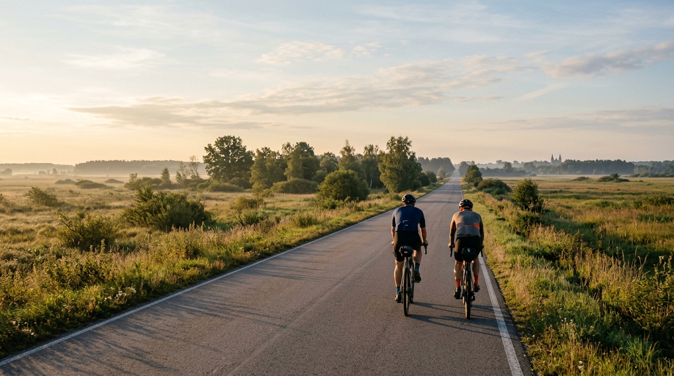
Grajewo – Osowiec-Twierdza – Trzcianne – Tykocin
An 82 km asphalt point-to-point route from Grajewo to Tykocin, with modest climbing and a steady endurance character.
- Distanza
- 82km
- Dislivello
- 177m
- Fondo
- —
- Forma
- Punto a punto
Il percorso
Profilo altimetrico
Grajewo - Osowiec-Twierdza - Trzcianne - Tykocin cycling route
This is an 82 km point-to-point asphalt route from Grajewo to Tykocin via Osowiec-Twierdza and Trzcianne. On paper, the defining number is not the distance on its own, but the relationship between distance and elevation gain: 177 m across the full route. That gives the ride a clear endurance profile rather than a climbing profile.
There are no notable climbs listed, so the difficulty should come less from managing gradients and more from holding a consistent output over time. For riders who pace well, this is the kind of route that rewards smoothness. For riders who surge too often early, the final third can still become expensive, not because the terrain is severe, but because 82 km is long enough for small pacing errors to accumulate.
Terrain and ride character
The surface is asphalt, which makes this a road-bike-friendly route in the broad sense. With modest total elevation gain and no listed climbs, expect the ride to settle into a rhythm rather than break into repeated climbing efforts. That changes the tactical feel of the day: instead of saving matches for steep ramps, the priority is maintaining momentum, staying comfortable, and keeping effort under control.
The route is not a loop, which matters practically. A point-to-point ride asks for a plan before the first pedal stroke: either arrange a return, ride it as part of a longer transfer, or build in transport logistics at the finish. That is not a minor detail on an 82 km route, because turning it into an out-and-back would change the day completely.
How to pace it
This is best treated as an aerobic endurance ride unless the goal is specifically to make it harder. The lack of notable climbs means there are fewer natural points where the terrain forces intensity, so the rider has to decide the effort rather than letting the road decide it.
If riding with power, keep the early section comfortably below threshold and avoid turning small rises or changes in speed into unnecessary accelerations. Riders using /glossary/ftp as a reference should think in terms of sustainable pressure, not repeated attacks. The route profile supports consistency, and consistency is the fastest way to make this kind of distance feel controlled.
Practical notes
- Distance: 82 km.
- Surface: asphalt.
- Elevation gain: 177 m.
- Route type: point-to-point, not a loop.
- No notable climbs are listed.
The cleanest approach is to prepare for a steady road ride with enough food and fluid for the full distance, plus a clear plan for the finish in Tykocin. The route does not appear to demand climbing-specific gearing based on the listed profile, but comfort, fueling, and pacing still matter. A flat-looking 82 km ride can feel deceptively easy early and still ask questions late if the effort is mismanaged.
Percorsi correlati
3-Länder-Radweg
A 302.2 km asphalt route in Germany with 1512 m of climbing and point-to-point logistics shaped by the Reußenkreuz climb.
7 Peaks Alpine Challenge
A 110.9 km point-to-point assault through the Victorian Alps, stacking 3404 metres of climbing across relentless, wind-swept high-country ascents.
Aberdare Range
A 46 km asphalt point-to-point through Kenya's Central Highlands that trades big climbs for a relentless 1,700 m of rolling grind.
Abra Málaga
A 45-kilometer point-to-point ribbon of asphalt through Peru's Sacred Valley, climbing 1,699 relentless meters into the high Andes.
Afriski Mahlasela Pass
A 112.8 km asphalt ascent through the Maloti Mountains, climbing 3,384 m to the roof of southern Africa via the storied Mahlasela Pass.
Ahr Cycleway
An 82.9 km asphalt point-to-point route with 541 m of gain, the Ahr Cycleway is a steady endurance ride rather than a climb-focused day.