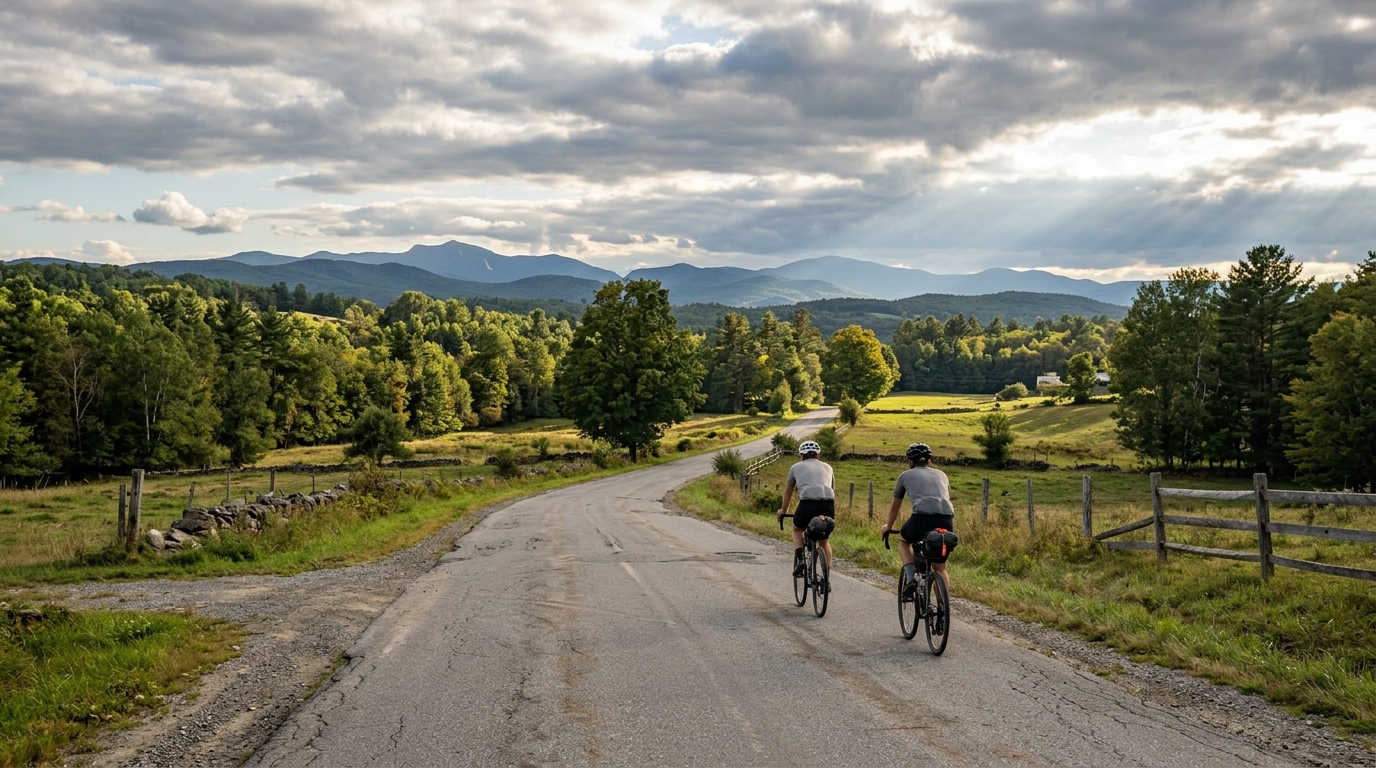
Bayley Hazen Military Road bike route
A 139.3 km asphalt point-to-point cycling route in the US, with 1927 m of climbing and a steady accumulation of effort rather than one named summit.
- Distanza
- 139.3km
- Dislivello
- 1,927m
- Fondo
- —
- Forma
- Punto a punto
Il percorso
Profilo altimetrico
Route character
The Bayley Hazen Military Road bike route cycling route is a long asphalt point-to-point ride in the US, measuring 139.3 km with 1927 m of elevation gain. That profile matters. This is not a short climb-focused outing where the day can be reduced to one decisive ascent. With no notable climbs listed in the route data, the difficulty is more likely to come from repeated elevation changes, time on the pedals, and the way climbing accumulates over a long distance.
That makes pacing the central problem. A rider who treats the opening kilometers like a fast group ride risks paying for it late, not because one summit demands a single maximal effort, but because nearly two thousand meters of gain across 139.3 km steadily erodes freshness. The smarter approach is to ride the early terrain under control, keep pressure consistent on rises, and avoid chasing short surges that do not change the outcome of the day.
Terrain and effort
The asphalt surface keeps the equipment choice relatively straightforward. This is a road-bike route by surface, so the main performance limiter is not traction or tire durability in the way it would be on mixed gravel. The limiter is endurance management: holding a sustainable effort, eating before the fade arrives, and keeping enough margin for the final part of a non-loop route.
The absence of listed notable climbs also changes the rhythm. Instead of preparing for a single named test, expect a route where the important work is distributed. These rides can feel easier than their totals suggest early on, because no single feature forces respect. That is exactly why they can become costly. Use perceived exertion or a power target anchored to your /glossary/ftp to keep the day aerobic rather than turning each rise into a small threshold interval.
Practical notes
Because the route is not a loop, logistics are part of the ride plan, not an afterthought. Riders need a point-to-point solution: a shuttle, a planned pickup, or a deliberate return strategy. That also affects pacing. There is no simple loop closure where the final kilometers naturally bring you back to the start, so mechanicals, weather changes, or a bad fueling day carry more consequence.
For preparation, think of this as a durable endurance ride with meaningful climbing. Bring enough food for a long day, plan water access before starting, and set expectations around steady forward progress rather than chasing average speed. The asphalt surface rewards efficient road position and smooth power, but the 1927 m of gain means comfort, gearing, and controlled climbing cadence still matter.
Who it suits
This route suits riders who want a substantial road endurance day rather than a pure summit objective. It is long enough to expose weak pacing and climbing volume large enough to punish under-fueling, but the lack of listed notable climbs suggests the challenge is broader and more cumulative. Ride it with discipline and it should feel like a well-built endurance test. Ride it impatiently and the distance will make that decision visible.
Percorsi correlati
3-Länder-Radweg
A 302.2 km asphalt route in Germany with 1512 m of climbing and point-to-point logistics shaped by the Reußenkreuz climb.
7 Peaks Alpine Challenge
A 110.9 km point-to-point assault through the Victorian Alps, stacking 3404 metres of climbing across relentless, wind-swept high-country ascents.
Aberdare Range
A 46 km asphalt point-to-point through Kenya's Central Highlands that trades big climbs for a relentless 1,700 m of rolling grind.
Abra Málaga
A 45-kilometer point-to-point ribbon of asphalt through Peru's Sacred Valley, climbing 1,699 relentless meters into the high Andes.
Afriski Mahlasela Pass
A 112.8 km asphalt ascent through the Maloti Mountains, climbing 3,384 m to the roof of southern Africa via the storied Mahlasela Pass.
Ahr Cycleway
An 82.9 km asphalt point-to-point route with 541 m of gain, the Ahr Cycleway is a steady endurance ride rather than a climb-focused day.