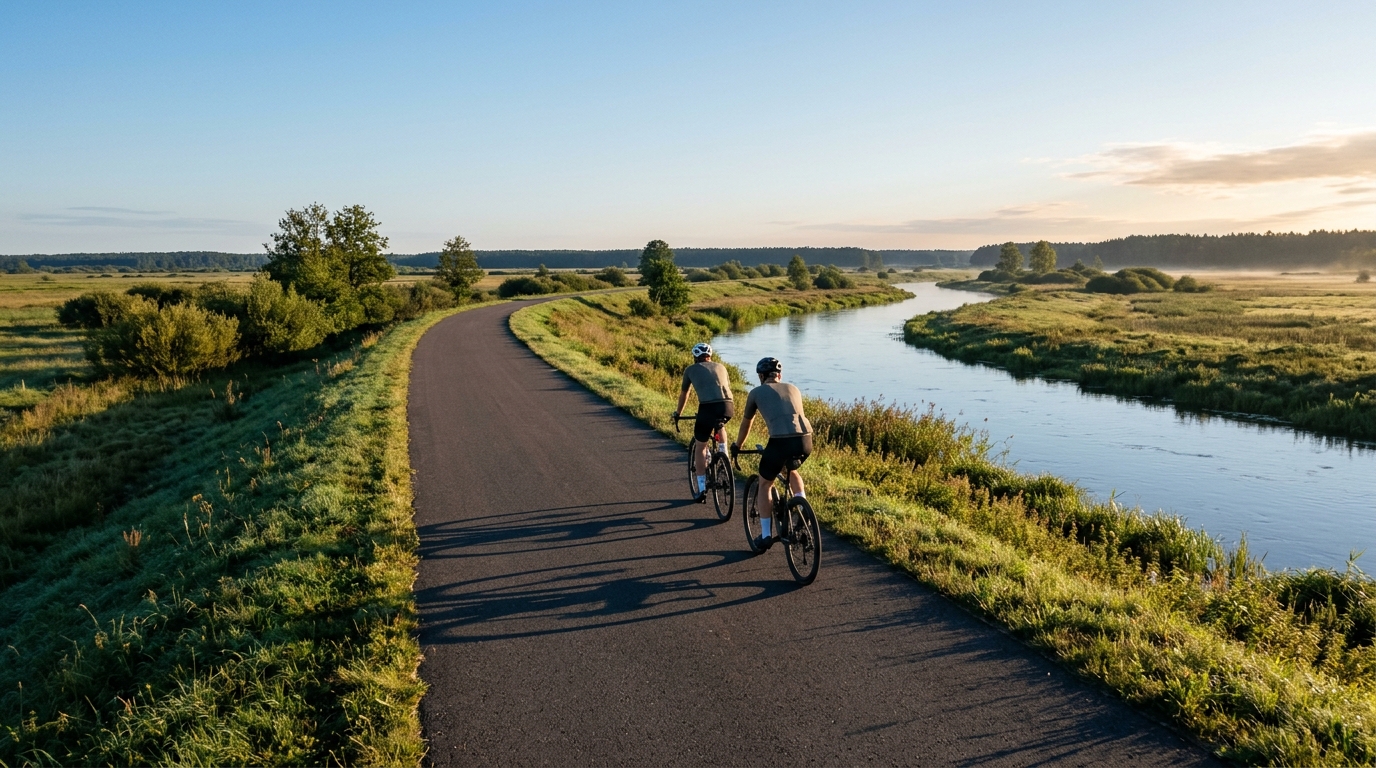
Around the Netta River
A 38.7 km asphalt loop in PL with just 88 m of elevation gain, built for steady pacing rather than climbing.
- Distanza
- 38.7km
- Dislivello
- 88m
- Fondo
- —
- Forma
- Anello
Il percorso
Profilo altimetrico
Around the Netta River cycling route
Around the Netta River is a 38.7 km asphalt loop in PL with 88 m of elevation gain. That combination tells you most of what matters before you roll out: this is not a climbing day, and it is not a route defined by repeated elevation changes. It is a compact road ride where the main demand is maintaining pressure on the pedals without the natural interruptions that bigger climbs and descents create.
Because the route is a loop, it works well as a self-contained ride rather than an out-and-back effort. That matters practically. A loop usually encourages more consistent pacing because the ride has a clear shape: settle in, hold the effort, and finish where you started. With only 88 m of gain across 38.7 km, the terrain should not force major changes in intensity, so any spikes are more likely to come from rider choice than from the profile itself.
Terrain and ride character
The surface is asphalt, which makes this a road-focused route and keeps the emphasis on rolling efficiency. There are no notable climbs listed, so the route should be approached less like a test of climbing strength and more like a test of aerobic steadiness, position, and cadence discipline.
That does not make it effortless. Flat and low-gain routes can be deceptively honest because there is little forced recovery. On a hillier route, descents often give you a reset. Here, the low elevation gain means the ride is likely to reward riders who can sit at a controlled endurance or tempo effort for long stretches. If you are using power, this is the kind of profile where staying close to your target matters more than chasing short accelerations. For reference, riders building pacing structure can anchor the effort around /glossary/ftp rather than reacting to every small change in speed.
How to ride it
Best use cases
- Steady endurance ride on asphalt
- Controlled tempo session without major climbing interruptions
- Low-climbing loop for riders who want distance without a heavy elevation load
- Efficient road bike spin where pacing discipline is the main limiter
Practical notes
The 38.7 km distance makes the route substantial enough for a focused training ride, but short enough that execution matters. Start too hard and the absence of meaningful climbing will not hide the cost. Ride it well and it becomes a clean aerobic session: smooth pressure, minimal surging, and a finish that should reflect how well the effort was managed.
With no notable climbs in the route data, gearing choice does not need to be built around steep gradients. Prioritise a setup that lets you hold a comfortable cadence on asphalt and avoid turning the ride into a series of unnecessary accelerations. The route profile points toward consistency, and that is where the value is.
Percorsi correlati
3-Länder-Radweg
A 302.2 km asphalt route in Germany with 1512 m of climbing and point-to-point logistics shaped by the Reußenkreuz climb.
7 Peaks Alpine Challenge
A 110.9 km point-to-point assault through the Victorian Alps, stacking 3404 metres of climbing across relentless, wind-swept high-country ascents.
Aberdare Range
A 46 km asphalt point-to-point through Kenya's Central Highlands that trades big climbs for a relentless 1,700 m of rolling grind.
Abra Málaga
A 45-kilometer point-to-point ribbon of asphalt through Peru's Sacred Valley, climbing 1,699 relentless meters into the high Andes.
Afriski Mahlasela Pass
A 112.8 km asphalt ascent through the Maloti Mountains, climbing 3,384 m to the roof of southern Africa via the storied Mahlasela Pass.
Ahr Cycleway
An 82.9 km asphalt point-to-point route with 541 m of gain, the Ahr Cycleway is a steady endurance ride rather than a climb-focused day.