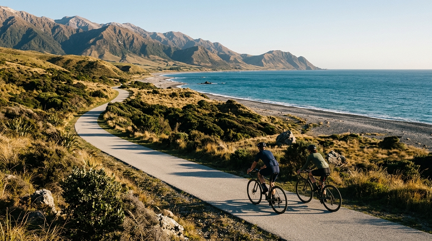
Whale Trail
A 102.9 km asphalt point-to-point route in New Zealand with 520 m of elevation gain and a rolling, endurance-focused profile.
- Distancia
- 102.9km
- Desnivel
- 520m
- Superficie
- —
- Forma
- Punto a punto
La ruta
Perfil de elevación
Whale Trail cycling route overview
The Whale Trail is a 102.9 km asphalt ride in New Zealand with 520 m of elevation gain. The key detail is not just the distance, but the ratio between distance and climbing. This is a route that asks for steady endurance more than climbing-specific firepower. There are no notable climbs listed, so the day is unlikely to hinge on one decisive ascent. Instead, the effort is likely to come from accumulation - time on the pedals, repeated changes in gradient, and the need to keep pressure on the pedals without turning the ride into an early overreach.
Because it is not a loop, the practical side matters. A point-to-point route changes the way the ride should be planned. Transport, pickup, or a return option needs to be sorted before the start, not improvised when fatigue is already high. That also affects pacing. Unlike a loop, where the second half naturally brings you back toward the start, this route rewards a more controlled opening because every kilometre commits you farther along the line.
Terrain and ride feel
On paper, 520 m of elevation gain across 102.9 km points toward a mostly endurance-paced profile rather than a climbing day. That does not make it easy. A route can be physically demanding without having a signature climb, especially when the elevation gain is spread across the ride. Small rises, false flats, and rolling terrain can quietly push riders above sustainable effort if they chase speed too early.
The asphalt surface makes the Whale Trail cycling route a natural fit for a road bike, endurance road setup, or fast all-road bike. Tyre choice can stay on the efficient side rather than being driven by rough-surface demands. The more important setup question is comfort: over this distance, position, contact points, and fuelling discipline will matter more than saving a small amount of rolling resistance.
How to pace it
Treat the opening section as controlled endurance, not a test of freshness. With no listed major climb to organise the effort around, the risk is drifting into tempo whenever the road tilts up and then paying for that pattern late in the ride. Use perceived exertion or power if you ride with a meter, and keep the early surges capped. For riders using threshold-based pacing, this is the kind of route where knowing your /glossary/ftp helps, but restraint matters just as much as the number.
Practical notes
- Surface: asphalt, so road-focused equipment is appropriate.
- Format: point-to-point, so plan transport before riding.
- Distance: 102.9 km, which makes fuelling and hydration a central part of the day.
- Elevation gain: 520 m, enough to shape pacing but not enough to define the route as a climbing challenge.
The Whale Trail is best approached as a long, controlled ride where efficiency compounds. Keep the first half honest, avoid unnecessary spikes, and let the route reward consistency.
Rutas relacionadas
3-Länder-Radweg
A 302.2 km asphalt route in Germany with 1512 m of climbing and point-to-point logistics shaped by the Reußenkreuz climb.
7 Peaks Alpine Challenge
A 110.9 km point-to-point assault through the Victorian Alps, stacking 3404 metres of climbing across relentless, wind-swept high-country ascents.
Aberdare Range
A 46 km asphalt point-to-point through Kenya's Central Highlands that trades big climbs for a relentless 1,700 m of rolling grind.
Abra Málaga
A 45-kilometer point-to-point ribbon of asphalt through Peru's Sacred Valley, climbing 1,699 relentless meters into the high Andes.
Afriski Mahlasela Pass
A 112.8 km asphalt ascent through the Maloti Mountains, climbing 3,384 m to the roof of southern Africa via the storied Mahlasela Pass.
Ahr Cycleway
An 82.9 km asphalt point-to-point route with 541 m of gain, the Ahr Cycleway is a steady endurance ride rather than a climb-focused day.