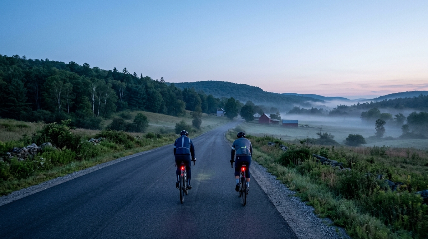
U.S. Bicycle Route 7 in Vermont
A 385 km asphalt point-to-point across Vermont, with 1517 m of gain spread across the route rather than concentrated into named climbs.
- Distancia
- 385km
- Desnivel
- 1,517m
- Superficie
- —
- Forma
- Punto a punto
La ruta
Perfil de elevación
U.S. Bicycle Route 7 in Vermont cycling route
U.S. Bicycle Route 7 in Vermont is a long, asphalt, point-to-point ride that asks more from pacing and logistics than from any single decisive climb. At 385 km with 1517 m of elevation gain, the profile points to an endurance route where the work accumulates steadily rather than arriving in one obvious set piece.
That matters tactically. A route of this length can feel manageable early if the surface is smooth and the climbing is not concentrated, but the cost of repeated rises, wind exposure, and small accelerations tends to show up late. The smartest approach is not to ride the opening hours like a short sportive. Keep the effort controlled, stay below threshold on the inclines, and let the distance do its work without adding unnecessary intensity. If you use power, this is a route where discipline around /glossary/ftp matters more than chasing speed on every rolling section.
Terrain and ride character
The listed surface is asphalt, so the route is best approached as a road ride rather than a mixed-surface adventure. That does not make it easy. The combination of 385 km and 1517 m of gain suggests a long day, or more realistically a multi-day ride for many cyclists, where comfort, fueling, and repeatable pacing become the main performance variables.
There are no notable climbs listed for the route, which is useful information in itself. This is not a climb-hunting itinerary built around a famous ascent. Instead, expect the challenge to come from the total workload. The elevation gain is spread across the full distance, which usually rewards riders who can settle into an efficient aerobic rhythm and avoid surges.
Practical notes
Because the route is not a loop, the first logistical decision is transport. Plan the start and finish as separate problems, especially if riding it in one push. For a multi-day version, think in terms of consistent daily distance rather than saving everything for one large final segment.
Bike setup should reflect the asphalt surface and the duration. A reliable road setup, comfortable contact points, and enough storage for food, layers, and repair gear matter more than aggressive equipment choices. The route length also makes fueling a central part of the ride plan. Waiting until fatigue is obvious is too late on a route of this scale.
How to pace it
Treat the first section as an investment. Ride easier than feels necessary, keep climbs controlled, and avoid turning every rise into a test. The absence of listed headline climbs does not remove the need for restraint. It simply shifts the challenge from surviving one major ascent to managing energy across the full 385 km.
For riders using the route as a fitness benchmark, the best comparison is not peak power. It is how evenly you can hold effort, how well you fuel, and how little your pacing deteriorates as the distance compounds.
Rutas relacionadas
3-Länder-Radweg
A 302.2 km asphalt route in Germany with 1512 m of climbing and point-to-point logistics shaped by the Reußenkreuz climb.
7 Peaks Alpine Challenge
A 110.9 km point-to-point assault through the Victorian Alps, stacking 3404 metres of climbing across relentless, wind-swept high-country ascents.
Aberdare Range
A 46 km asphalt point-to-point through Kenya's Central Highlands that trades big climbs for a relentless 1,700 m of rolling grind.
Abra Málaga
A 45-kilometer point-to-point ribbon of asphalt through Peru's Sacred Valley, climbing 1,699 relentless meters into the high Andes.
Afriski Mahlasela Pass
A 112.8 km asphalt ascent through the Maloti Mountains, climbing 3,384 m to the roof of southern Africa via the storied Mahlasela Pass.
Ahr Cycleway
An 82.9 km asphalt point-to-point route with 541 m of gain, the Ahr Cycleway is a steady endurance ride rather than a climb-focused day.