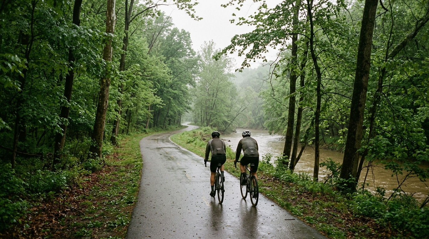
U.S. Bicycle Route 587
A short paved point-to-point U.S. bicycle route with modest elevation gain and no listed major climbs.
- Distancia
- 34.2km
- Desnivel
- 191m
- Superficie
- —
- Forma
- Punto a punto
La ruta
Perfil de elevación
U.S. Bicycle Route 587 cycling route overview
U.S. Bicycle Route 587 is a compact paved route in the United States, covering 34.2 km on asphalt with 191 m of elevation gain. It is not a loop, which is the first practical detail that matters: this ride needs either a return plan, a shuttle, or acceptance that the full outing becomes an out-and-back if you ride back to the start.
The terrain profile points to a route that is more about maintaining rhythm than surviving a defining climb. With no notable climbs listed, the elevation gain is likely to arrive in smaller pieces rather than through one obvious test. That changes the way the ride should be approached. Instead of saving everything for a named ascent, the better tactic is to ride steadily, keep momentum over rises, and avoid turning every small uphill into a surge.
Terrain and ride character
The asphalt surface makes this a road-bike-friendly route, assuming normal road conditions. The distance is short enough to suit a focused endurance spin, a controlled tempo session, or a connector ride inside a larger day. The 191 m of climbing gives it some texture, but not enough to define it as a climbing route.
That combination usually rewards consistency. On a route like this, the cost of repeated accelerations can outweigh the time gained, especially if the elevation comes through rolling terrain. If using U.S. Bicycle Route 587 as training, treat the small changes in grade as opportunities to hold pressure rather than attack. Riders working from /glossary/ftp can keep the effort anchored and let the terrain create the variation naturally.
Practical notes
Because the route is point-to-point rather than a loop, logistics matter more than distance alone suggests. Before starting, decide whether the ride ends at the far end, continues onto another route, or turns around for the return. That decision changes fueling, clothing, and pacing.
The route has no listed notable climbs, so gearing does not need to be selected around a single steep objective. A normal road setup should be appropriate for the stated asphalt surface and modest total climbing. The more important choice is pacing: start controlled, stay smooth over the rolling sections, and avoid burning matches early simply because the route is short.
Best use
U.S. Bicycle Route 587 is best viewed as a concise paved point-to-point ride rather than a destination climb or big endurance objective. Its value is in the simplicity: manageable distance, modest climbing, and a surface that should keep the ride efficient. For riders looking to add structure, it works well as a steady aerobic outing or a controlled tempo block where the goal is even execution rather than a standout summit effort.
Rutas relacionadas
3-Länder-Radweg
A 302.2 km asphalt route in Germany with 1512 m of climbing and point-to-point logistics shaped by the Reußenkreuz climb.
7 Peaks Alpine Challenge
A 110.9 km point-to-point assault through the Victorian Alps, stacking 3404 metres of climbing across relentless, wind-swept high-country ascents.
Aberdare Range
A 46 km asphalt point-to-point through Kenya's Central Highlands that trades big climbs for a relentless 1,700 m of rolling grind.
Abra Málaga
A 45-kilometer point-to-point ribbon of asphalt through Peru's Sacred Valley, climbing 1,699 relentless meters into the high Andes.
Afriski Mahlasela Pass
A 112.8 km asphalt ascent through the Maloti Mountains, climbing 3,384 m to the roof of southern Africa via the storied Mahlasela Pass.
Ahr Cycleway
An 82.9 km asphalt point-to-point route with 541 m of gain, the Ahr Cycleway is a steady endurance ride rather than a climb-focused day.