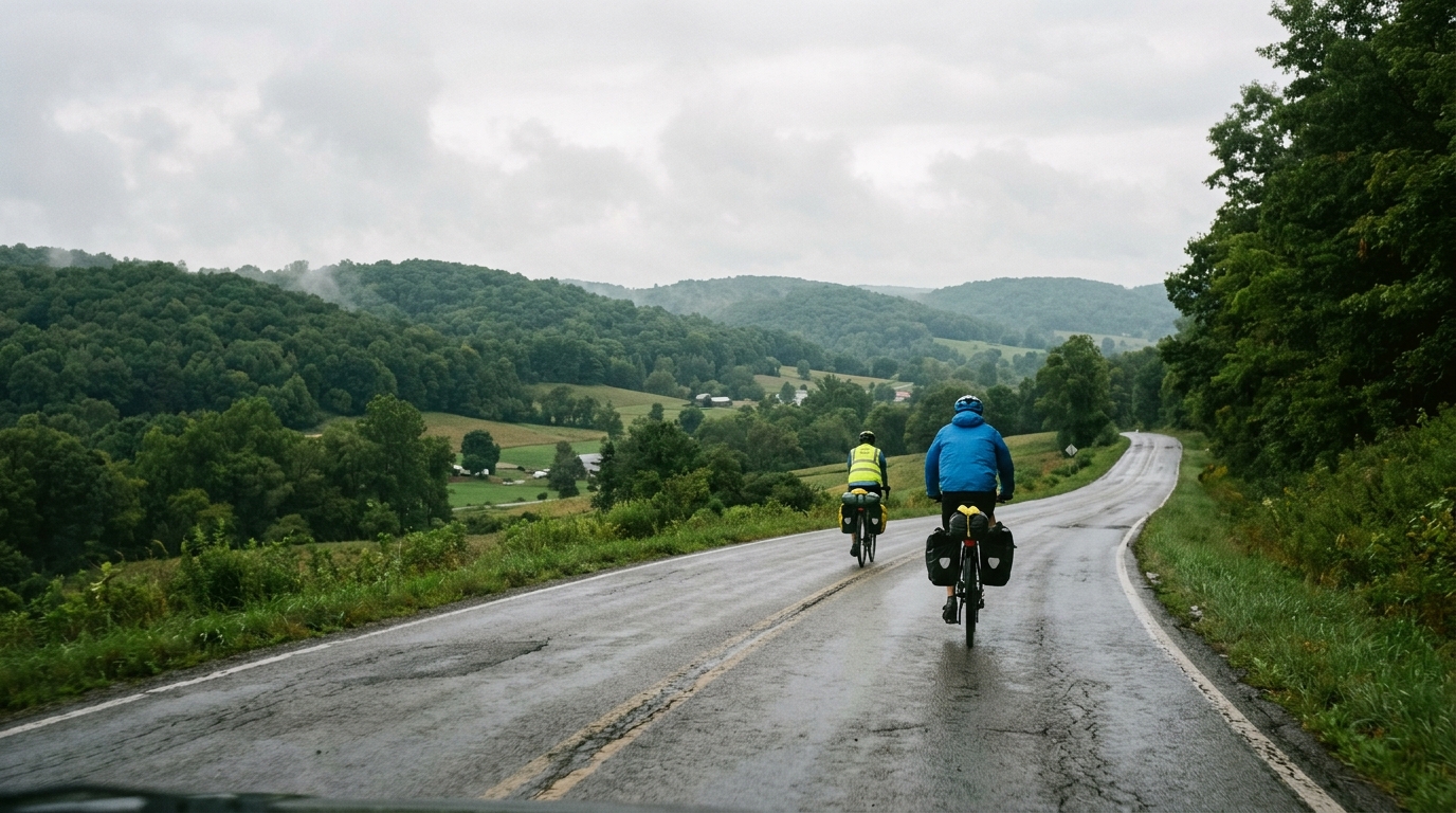
U.S. Bicycle Route 30 in Pennsylvania
A point-to-point asphalt route with modest climbing, built more around steady pacing and logistics than summit efforts.
- Distancia
- 84.2km
- Desnivel
- 166m
- Superficie
- —
- Forma
- Punto a punto
La ruta
Perfil de elevación
Route character
U.S. Bicycle Route 30 in Pennsylvania cycling route is an 84.2 km point-to-point ride on asphalt, with 166 m of elevation gain. That profile tells you most of what matters: this is not a climbing route in the decisive sense. The effort will be shaped less by long gradients and more by how well you manage steady pressure across the full distance.
With no notable climbs listed, the ride should be approached as an endurance pacing exercise rather than a route where you save everything for a named ascent. The low total elevation gain does not make it automatic, though. On a point-to-point route, the challenge often comes from accumulated time on the pedals, changing exposure, and the simple fact that there is no natural turnaround that brings you back to the start.
Terrain and effort
The asphalt surface makes this well-suited to a road setup, assuming normal conditions. Because the elevation gain is modest relative to the distance, riders who settle into a controlled rhythm should be able to keep the effort smooth. This is the type of course where small pacing errors are easy to make because the terrain does not force obvious recovery points.
If riding by power, keep the opening portion disciplined and avoid treating every gentle rise or change in road feel as a reason to lift the effort. For a route like this, durability matters more than peak output. A rider who stays below threshold early is likely to finish stronger than one who keeps nudging above target just because the road never looks intimidating. For pacing context, see /glossary/ftp.
Practical notes
The key planning detail is that this is not a loop. Start and finish logistics matter. Before riding, sort out transport, pickup, or a return plan rather than assuming the route will naturally solve that problem.
A few practical takeaways:
- Distance: 84.2 km
- Elevation gain: 166 m
- Surface: asphalt
- Format: point-to-point, not a loop
- Notable climbs: none listed
Those facts make the route best framed as a steady endurance ride. It can suit riders looking for aerobic volume without a major climbing load, or anyone wanting a route where pacing, fueling, and consistency are the main limiters.
How to ride it well
The mistake is to underrate the route because the climbing number is low. An 84.2 km ride still rewards structure. Start at a sustainable endurance intensity, fuel before you feel flat, and keep the effort even rather than chasing short accelerations. The absence of listed climbs means there is no single feature to organize the ride around, so the route becomes about execution across the whole distance.
Treat it as a controlled point-to-point endurance day: smooth cadence, steady pressure, and a clear logistics plan before rollout.
Rutas relacionadas
3-Länder-Radweg
A 302.2 km asphalt route in Germany with 1512 m of climbing and point-to-point logistics shaped by the Reußenkreuz climb.
7 Peaks Alpine Challenge
A 110.9 km point-to-point assault through the Victorian Alps, stacking 3404 metres of climbing across relentless, wind-swept high-country ascents.
Aberdare Range
A 46 km asphalt point-to-point through Kenya's Central Highlands that trades big climbs for a relentless 1,700 m of rolling grind.
Abra Málaga
A 45-kilometer point-to-point ribbon of asphalt through Peru's Sacred Valley, climbing 1,699 relentless meters into the high Andes.
Afriski Mahlasela Pass
A 112.8 km asphalt ascent through the Maloti Mountains, climbing 3,384 m to the roof of southern Africa via the storied Mahlasela Pass.
Ahr Cycleway
An 82.9 km asphalt point-to-point route with 541 m of gain, the Ahr Cycleway is a steady endurance ride rather than a climb-focused day.