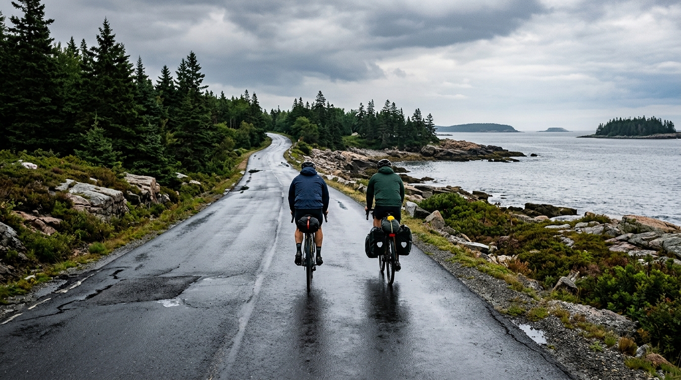
U.S. Bicycle Route 1A
A paved, point-to-point U.S. Bicycle Route 1A cycling route with 223.4 km of distance and 1232 m of climbing.
- Distancia
- 223.4km
- Desnivel
- 1,232m
- Superficie
- —
- Forma
- Punto a punto
La ruta
Perfil de elevación
Route character
The U.S. Bicycle Route 1A cycling route is a long paved point-to-point ride in the US, covering 223.4 km on asphalt with 1232 m of elevation gain. On paper, that combination points to a route where the main difficulty is duration and execution rather than a single decisive climb.
The elevation gain is meaningful, but the route data does not list any notable climbs. That matters tactically. Instead of preparing for one obvious summit effort, expect the ride to reward steadier pacing, good fueling discipline, and the ability to keep pressure on the pedals over changing terrain. The climbing load is likely to accumulate through the day rather than announce itself in one major feature.
Terrain and pacing
Because the surface is asphalt, equipment choice can stay focused on efficiency and reliability. This is not presented as a mixed-surface route, so the primary limiter should be endurance, not traction or bike handling on rough terrain.
The smarter approach is to ride the opening phase below threshold and protect the final part of the route. A 223.4 km point-to-point effort gives small pacing errors plenty of time to compound. If you ride by power, anchor the day around sustainable endurance output rather than chasing short surges. For riders using training zones, the relevant concept is not peak power but repeatable control around /glossary/ftp.
Practical notes
The route is not a loop, so logistics are part of the ride, not an afterthought. Plan the start, finish, and return before treating this as a normal long ride. A point-to-point route can be excellent training because it removes the mental comfort of circling back early, but it also means weather, mechanicals, and fatigue need a cleaner backup plan.
Key preparation points:
- Treat the distance as the defining feature of the day.
- Do not plan around a named climb, because none are listed in the route data.
- Use fast, dependable road equipment suited to asphalt.
- Build fueling and water stops into the plan, but do not assume service locations from this data alone.
- Keep the first half controlled so the total elevation gain does not become more costly late.
Bottom line
U.S. Bicycle Route 1A is best understood as a long asphalt endurance route with moderate accumulated climbing and point-to-point complexity. It is not defined by a marquee ascent. It is defined by whether the rider can make good decisions for 223.4 km, keep the effort stable, and arrive with enough control to finish the route rather than simply survive it.
Rutas relacionadas
3-Länder-Radweg
A 302.2 km asphalt route in Germany with 1512 m of climbing and point-to-point logistics shaped by the Reußenkreuz climb.
7 Peaks Alpine Challenge
A 110.9 km point-to-point assault through the Victorian Alps, stacking 3404 metres of climbing across relentless, wind-swept high-country ascents.
Aberdare Range
A 46 km asphalt point-to-point through Kenya's Central Highlands that trades big climbs for a relentless 1,700 m of rolling grind.
Abra Málaga
A 45-kilometer point-to-point ribbon of asphalt through Peru's Sacred Valley, climbing 1,699 relentless meters into the high Andes.
Afriski Mahlasela Pass
A 112.8 km asphalt ascent through the Maloti Mountains, climbing 3,384 m to the roof of southern Africa via the storied Mahlasela Pass.
Ahr Cycleway
An 82.9 km asphalt point-to-point route with 541 m of gain, the Ahr Cycleway is a steady endurance ride rather than a climb-focused day.