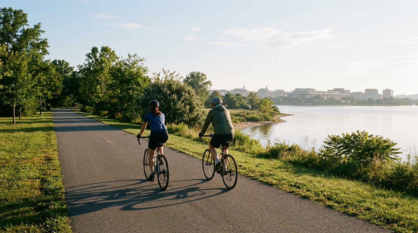
U.S. Bicycle Route 1 in the District of Columbia
A short, point-to-point asphalt route in the District of Columbia: 11.4 km with just 8 m of elevation gain and no notable climbs listed.
- Distancia
- 11.4km
- Desnivel
- 8m
- Superficie
- —
- Forma
- Punto a punto
La ruta
Perfil de elevación
Route character
U.S. Bicycle Route 1 in the District of Columbia cycling route is defined less by climbing or terrain variation and more by efficiency. At 11.4 km with just 8 m of elevation gain, this is a short, very low-gradient asphalt route where the main limiter is unlikely to be sustained climbing stress.
That changes how the ride should be approached. There are no notable climbs listed, so the route does not naturally break itself into decisive uphill sections. Instead, the effort will tend to come from how consistently the rider keeps pressure on the pedals across a largely flat profile. For endurance athletes, that makes it better suited to controlled aerobic riding, short steady efforts, or a clean point-to-point transfer than a session built around climbing repeats.
Terrain and pacing
The surface is asphalt, which keeps the equipment choice straightforward. A road bike, endurance bike, or fast commuter setup all make sense, provided the tires are appropriate for paved riding. Because the elevation gain is only 8 m across the full distance, pacing should be smooth rather than reactive. There is little value in saving energy for a major ascent that never comes.
If riding by power, this is the kind of profile where discipline matters. A flat route can quietly invite repeated accelerations, especially when the total distance is short. Keeping the ride near the intended target, whether endurance or tempo, will usually produce a better session than surging through the route. For reference on setting intensity, see /glossary/ftp.
Practical notes
This is not a loop, so logistics matter more than the physical profile. Riders should plan the start and finish separately, including how they will return, continue onward, or connect the route into a longer ride. The 11.4 km distance makes that easy to fold into a bigger day, but as a standalone ride it is brief.
The lack of listed climbs also means there is no obvious natural reset point. If using this for training, decide the purpose before rolling: steady endurance, a short controlled effort, or a simple transfer. The route profile will not impose structure for you.
Bottom line
U.S. Bicycle Route 1 in the District of Columbia is a short, paved, point-to-point cycling route with minimal elevation gain. Its value is simplicity: a direct asphalt segment with no listed climbs, best treated as a controlled ride, connector, or low-complexity piece of a longer route.
Rutas relacionadas
3-Länder-Radweg
A 302.2 km asphalt route in Germany with 1512 m of climbing and point-to-point logistics shaped by the Reußenkreuz climb.
7 Peaks Alpine Challenge
A 110.9 km point-to-point assault through the Victorian Alps, stacking 3404 metres of climbing across relentless, wind-swept high-country ascents.
Aberdare Range
A 46 km asphalt point-to-point through Kenya's Central Highlands that trades big climbs for a relentless 1,700 m of rolling grind.
Abra Málaga
A 45-kilometer point-to-point ribbon of asphalt through Peru's Sacred Valley, climbing 1,699 relentless meters into the high Andes.
Afriski Mahlasela Pass
A 112.8 km asphalt ascent through the Maloti Mountains, climbing 3,384 m to the roof of southern Africa via the storied Mahlasela Pass.
Ahr Cycleway
An 82.9 km asphalt point-to-point route with 541 m of gain, the Ahr Cycleway is a steady endurance ride rather than a climb-focused day.