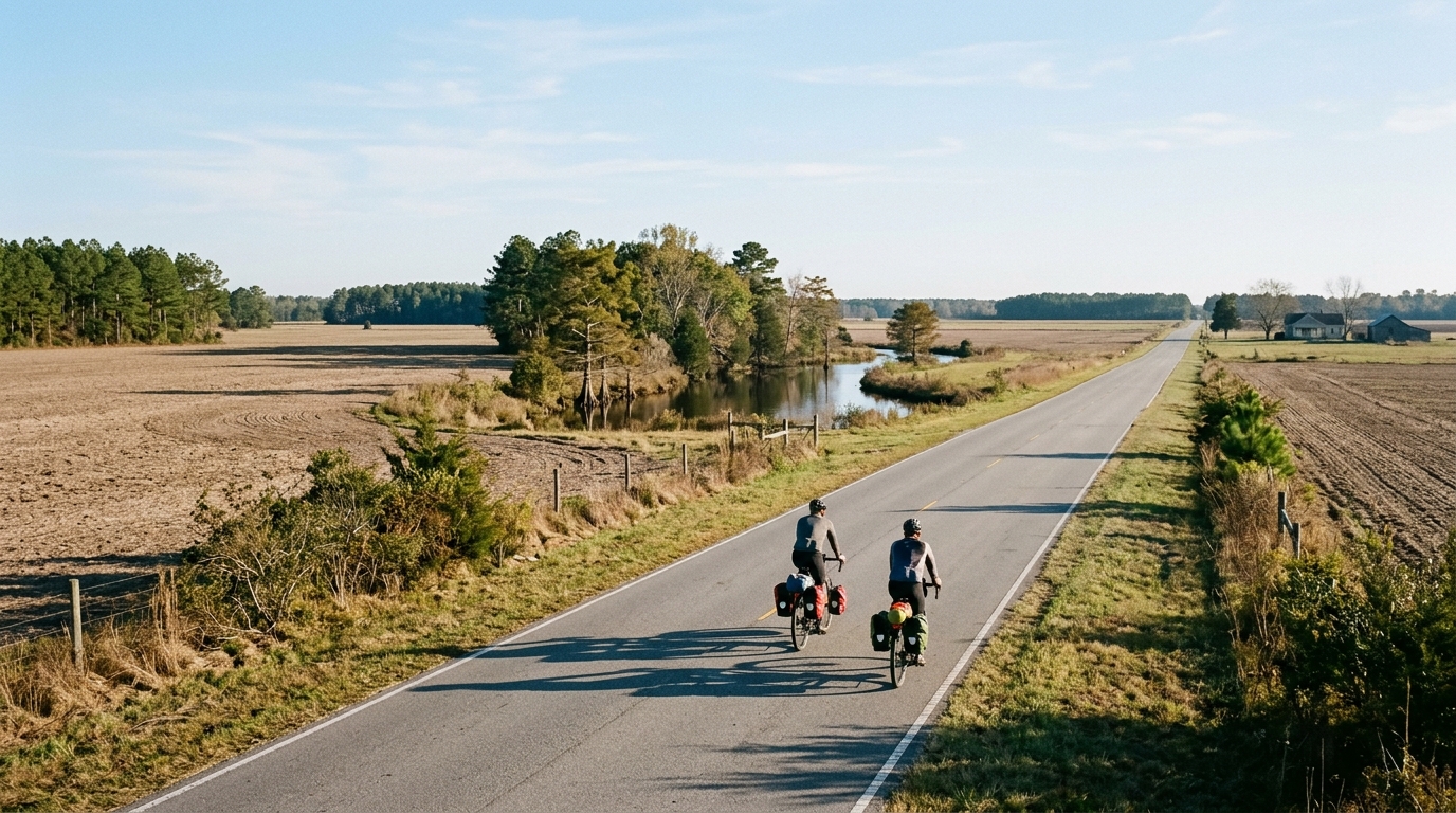
U.S. Bicycle Route 1 in North Carolina
A 398.5 km asphalt point-to-point with 993 m of gain, built more around endurance, pacing, and logistics than decisive climbing.
- Distancia
- 398.5km
- Desnivel
- 993m
- Superficie
- —
- Forma
- Punto a punto
La ruta
Perfil de elevación
U.S. Bicycle Route 1 in North Carolina cycling route
U.S. Bicycle Route 1 in North Carolina is a long asphalt point-to-point route covering 398.5 km with 993 m of elevation gain. That combination tells you a lot about the ride before looking at anything else: this is not a route defined by major climbing, but by sustained distance, pacing discipline, and the logistics of moving across a long non-loop course.
The absence of notable climbs matters. With 993 m of gain spread across 398.5 km, the route is unlikely to hinge on one decisive ascent where the day is won or lost. Instead, the difficulty comes from accumulation. Small rises, changes in rhythm, wind exposure, surface fatigue, and time in the saddle can become more important than any single gradient.
Terrain and ride character
The surface is asphalt, so the route sits firmly in road-bike territory. That does not automatically make it easy. A paved route of this length still asks for efficient position, sensible gearing, and a nutrition plan that starts early rather than after the legs begin to fade.
The elevation profile suggests a ride where momentum is valuable. Without listed notable climbs, the smartest approach is usually to keep effort controlled over the early distance and avoid treating every rise as a test. This is the kind of route where repeated small surges can quietly cost more than one obvious climb would.
For endurance riders, the key metric is not peak power. It is how well you can hold a sustainable output across a long day or several stages. If you are using power, anchor the effort below threshold and think in terms of repeatability rather than hero pulls. If you need to benchmark your pacing zones, start with /glossary/ftp or estimate your current level with /tools/ftp-estimator.
Practical notes
Because the route is not a loop, logistics should be part of the plan from the start. A point-to-point ride needs a clear decision on transport, pickup, return travel, or how the distance will be divided. That planning is not secondary here - it is central to making the route work.
The 398.5 km distance also changes the equipment conversation. Comfort and reliability matter more than marginal choices. Prioritize a setup you can ride for extended hours on asphalt, with enough carrying capacity for the gaps between planned stops. The route stats do not point to a climbing-specialist setup. They point to a steady endurance configuration that lets you keep moving efficiently.
How to approach it
Treat U.S. Bicycle Route 1 in North Carolina as an endurance route first. The 993 m of gain is meaningful, but it is not the headline difficulty. The headline is covering a long paved point-to-point course without letting pacing, fueling, or logistics unravel the ride.
The best ride plan is controlled rather than aggressive: settle early, avoid unnecessary surges, and make decisions that preserve speed late. On a route like this, the strongest rider is often not the one who rides hardest in the opening stretch, but the one who keeps the route from becoming expensive before the distance has done its real work.
Rutas relacionadas
3-Länder-Radweg
A 302.2 km asphalt route in Germany with 1512 m of climbing and point-to-point logistics shaped by the Reußenkreuz climb.
7 Peaks Alpine Challenge
A 110.9 km point-to-point assault through the Victorian Alps, stacking 3404 metres of climbing across relentless, wind-swept high-country ascents.
Aberdare Range
A 46 km asphalt point-to-point through Kenya's Central Highlands that trades big climbs for a relentless 1,700 m of rolling grind.
Abra Málaga
A 45-kilometer point-to-point ribbon of asphalt through Peru's Sacred Valley, climbing 1,699 relentless meters into the high Andes.
Afriski Mahlasela Pass
A 112.8 km asphalt ascent through the Maloti Mountains, climbing 3,384 m to the roof of southern Africa via the storied Mahlasela Pass.
Ahr Cycleway
An 82.9 km asphalt point-to-point route with 541 m of gain, the Ahr Cycleway is a steady endurance ride rather than a climb-focused day.