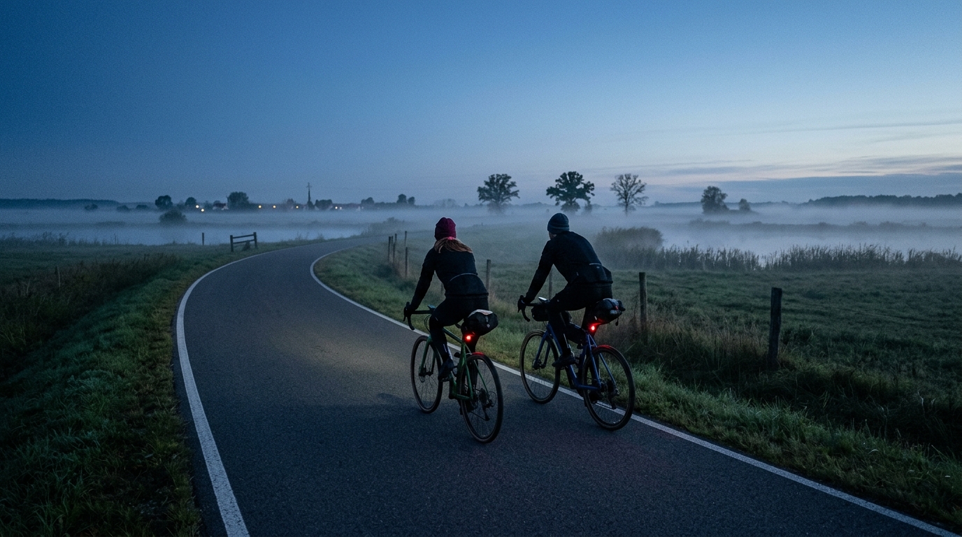
Światowid Trail
A short asphalt route in Poland with minimal climbing, Światowid Trail suits steady endurance work, easy spins, and simple point-to-point riding.
- Distancia
- 18.1km
- Desnivel
- 58m
- Superficie
- —
- Forma
- Punto a punto
La ruta
Perfil de elevación
Światowid Trail cycling route overview
The Światowid Trail cycling route is a short, asphalt ride in Poland with a simple profile: 18.1 km of riding and 58 m of elevation gain. That combination gives the route its main character. This is not a climb-led day, and it is not a terrain puzzle where pacing is dictated by repeated steep ramps. It is a controlled, low-elevation route where the effort will come more from how you choose to ride than from the road forcing the issue.
Because the route is not a loop, logistics matter more than fitness. Treat it as a point-to-point style ride unless you have a return plan. That could mean arranging pickup, linking it into a longer route, or simply riding it back in the opposite direction. The route profile makes that practical for most trained riders, but the non-loop format is the detail to solve before you roll out.
Terrain and ride feel
The surface is asphalt, which points toward a road bike or an all-road setup rather than anything trail-specific. With only 58 m of elevation gain across the full 18.1 km, the ride should feel steady rather than selective. There are no notable climbs listed, so the route is unlikely to hinge on a single decisive ascent or a prolonged pacing test.
That changes the tactical feel of the ride. On hillier routes, the terrain decides when you go hard. Here, the rider decides. If you want an endurance spin, keep the pressure even and avoid turning every small rise or exposed section into a surge. If you want a sharper session, the relatively smooth profile makes it easier to hold a consistent effort without repeated interruptions from climbing.
For riders using power or heart rate, this is the kind of route where discipline matters. A flat-to-rolling asphalt ride can look easy on paper, but it also invites over-riding because there is no obvious climb telling you to back off. If you are riding to a target, keep it boring and controlled. For more on pacing by output, see /glossary/ftp.
Practical notes
- Distance: 18.1 km.
- Elevation gain: 58 m.
- Surface: asphalt.
- Format: not a loop.
- Notable climbs: none listed.
The best use case is a short aerobic ride, a recovery day with structure, or a connector inside a longer plan. The limited elevation gain keeps the physical demand accessible, while the asphalt surface should make pacing predictable. The only real planning variable is the finish: since the route does not loop back, decide before starting whether this is a one-way ride, a return ride, or part of a larger route.
Rutas relacionadas
3-Länder-Radweg
A 302.2 km asphalt route in Germany with 1512 m of climbing and point-to-point logistics shaped by the Reußenkreuz climb.
7 Peaks Alpine Challenge
A 110.9 km point-to-point assault through the Victorian Alps, stacking 3404 metres of climbing across relentless, wind-swept high-country ascents.
Aberdare Range
A 46 km asphalt point-to-point through Kenya's Central Highlands that trades big climbs for a relentless 1,700 m of rolling grind.
Abra Málaga
A 45-kilometer point-to-point ribbon of asphalt through Peru's Sacred Valley, climbing 1,699 relentless meters into the high Andes.
Afriski Mahlasela Pass
A 112.8 km asphalt ascent through the Maloti Mountains, climbing 3,384 m to the roof of southern Africa via the storied Mahlasela Pass.
Ahr Cycleway
An 82.9 km asphalt point-to-point route with 541 m of gain, the Ahr Cycleway is a steady endurance ride rather than a climb-focused day.