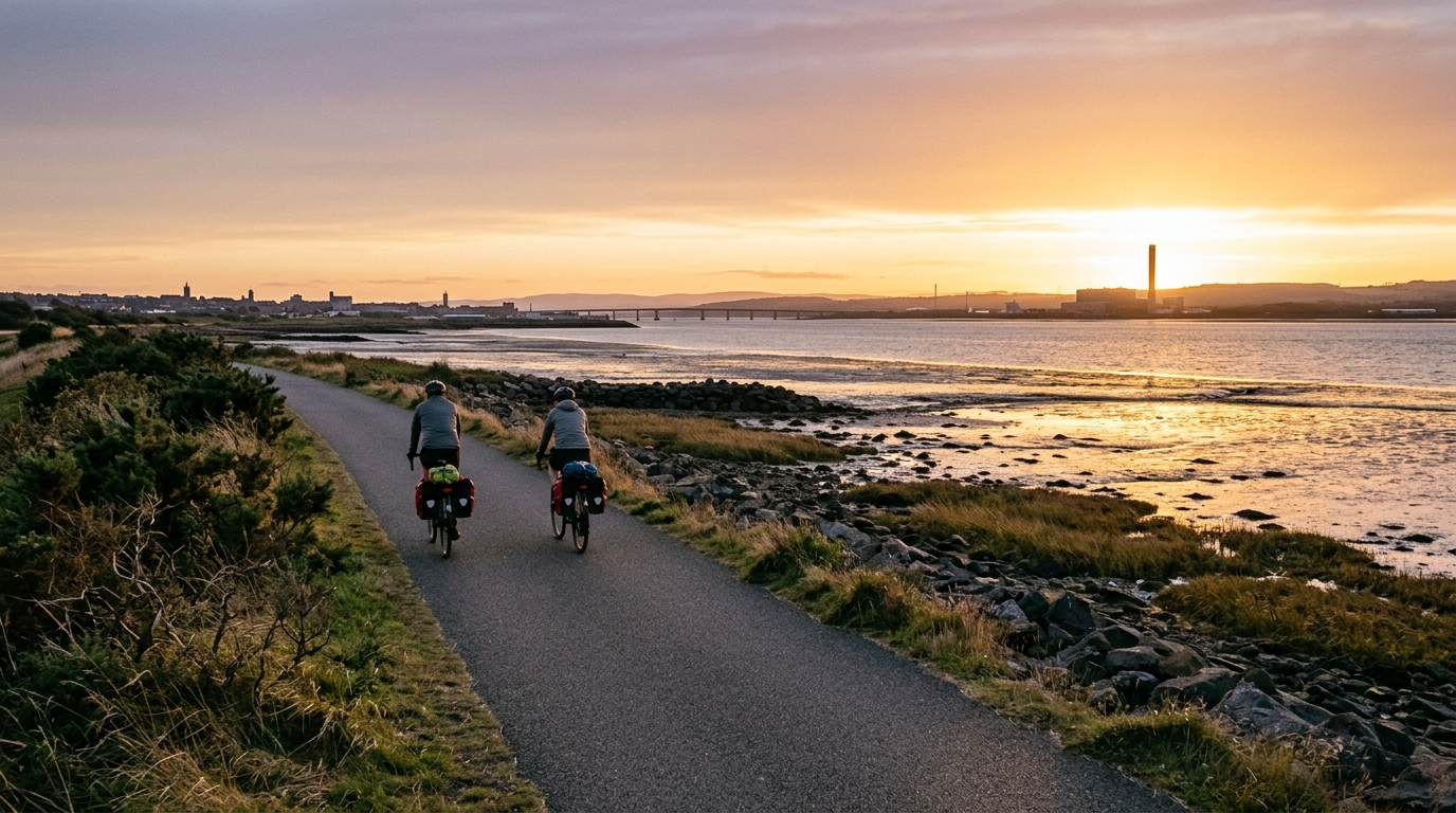
National Cycle Route 76
A point-to-point asphalt route in GB, National Cycle Route 76 is a long endurance ride with modest total climbing and logistics to plan carefully.
- Distancia
- 259.2km
- Desnivel
- 800m
- Superficie
- —
- Forma
- Punto a punto
La ruta
Perfil de elevación
Route character
The National Cycle Route 76 cycling route is best understood as a long endurance ride rather than a climbing-focused challenge. The headline numbers make the character fairly clear: 259.2 km on asphalt with 800 m of elevation gain. That combination points to a route where accumulated fatigue, pacing discipline, and logistics matter more than any single decisive climb.
Because the route is not a loop, it asks for more planning than a standard out-and-back or circuit. The ride does not naturally return you to the start, so transport, accommodation, or a staged approach should be decided before the first pedal stroke. That practical detail shapes the whole experience. If you treat it like a casual long ride and leave the endpoint problem unresolved, the final kilometres become more complicated than they need to be.
Terrain and pacing
The asphalt surface should make bike choice relatively straightforward. A road bike or endurance road setup is the natural fit, with tyre choice aimed at comfort and reliability rather than off-road capability. The more important decision is how to manage effort across the full distance.
With 800 m of elevation gain spread over 259.2 km, the route profile is not defined by repeated major climbs. There are no notable climbs listed in the supplied route data, which reinforces the idea that this is not a day for chasing climbing segments. The trap is the opposite: because the climbing load looks modest, it is easy to ride too hard early and pay for it late. On a route this long, small inefficiencies compound.
A controlled endurance pace is the sensible default. If riding with power, stay anchored around sustainable aerobic effort rather than treating every rise or faster section as a test. If you are using perceived effort, the opening phase should feel almost too easy. For a refresher on how sustainable intensity is usually framed, see /glossary/ftp.
Practical notes
Plan it as a point-to-point ride
The non-loop format is the key logistical feature. Decide whether the route is a single long day, a multi-day ride, or part of a larger trip. That choice changes everything from kit to nutrition to how much margin you need at the finish.
Fuel for duration, not gradients
The modest total elevation gain does not reduce the need to fuel consistently. The distance is the main stressor, so the ride should be paced and fed like an endurance event. Waiting until you feel flat is already too late.
Use the surface to your advantage
Asphalt means the route can reward smooth, steady riding. Comfort still matters, though. Over 259.2 km, position, contact points, and tyre pressure can influence the second half as much as fitness.
Who it suits
National Cycle Route 76 suits riders who want a substantial asphalt endurance route in GB without the profile being dominated by listed major climbs. It is not a pure climbing test. It is a test of how well you can stay economical, organised, and patient over a long point-to-point distance.
Rutas relacionadas
3-Länder-Radweg
A 302.2 km asphalt route in Germany with 1512 m of climbing and point-to-point logistics shaped by the Reußenkreuz climb.
7 Peaks Alpine Challenge
A 110.9 km point-to-point assault through the Victorian Alps, stacking 3404 metres of climbing across relentless, wind-swept high-country ascents.
Aberdare Range
A 46 km asphalt point-to-point through Kenya's Central Highlands that trades big climbs for a relentless 1,700 m of rolling grind.
Abra Málaga
A 45-kilometer point-to-point ribbon of asphalt through Peru's Sacred Valley, climbing 1,699 relentless meters into the high Andes.
Afriski Mahlasela Pass
A 112.8 km asphalt ascent through the Maloti Mountains, climbing 3,384 m to the roof of southern Africa via the storied Mahlasela Pass.
Ahr Cycleway
An 82.9 km asphalt point-to-point route with 541 m of gain, the Ahr Cycleway is a steady endurance ride rather than a climb-focused day.