National Cycle Route 656
A 33.2 km asphalt point-to-point route in GB with 330 m of gain, best treated as a steady endurance ride rather than a climb-focused test.
- Distancia
- 33.2km
- Desnivel
- 330m
- Superficie
- —
- Forma
- Punto a punto
La ruta
Perfil de elevación
National Cycle Route 656 cycling route overview
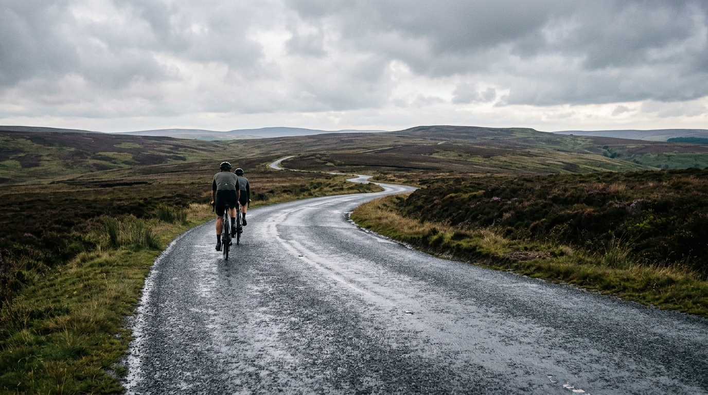
National Cycle Route 656 is a 33.2 km point-to-point cycling route in GB, run on asphalt and carrying 330 m of elevation gain. On paper, that makes it a compact endurance ride rather than a route defined by a major climb or a long day out.
The key detail is the shape of the effort. With no notable climbs listed, the elevation is unlikely to come from one obvious set-piece ascent. Instead, the route should be approached as a rolling ride where the workload accumulates gradually. That matters for pacing: the mistake is not usually going too deep on one climb, but letting repeated small accelerations push the ride above endurance intensity.
Terrain and ride character
The asphalt surface makes this a natural fit for a road bike, winter bike, commuter setup, or fast all-road build. Tyre choice can stay on the efficient side, assuming normal conditions, because the listed surface does not suggest a mixed-terrain or off-road emphasis.
At 33.2 km, the route is short enough to ride without turning it into a major fuelling project, but the 330 m of gain means it is not completely flat transport riding either. The climbing density sits at roughly 10 m per kilometre, which is a useful shorthand: enough vertical gain to create rhythm changes, but not enough to make the route purely about climbing performance.
For a data-driven rider, this is the kind of course where disciplined power control matters more than peak numbers. Stay below threshold on the rises, keep pressure on through flatter sections, and avoid turning every incline into a mini-test. If you are using the ride for aerobic work, anchor it to your endurance range rather than chasing average speed. For reference, see /glossary/ftp if you need the power-zone context.
Practical notes
Because National Cycle Route 656 is not a loop, logistics shape the ride as much as the terrain does. Plan the start and finish separately, especially if you are riding solo or using it as part of a longer route.
Useful ways to ride it:
- As a point-to-point endurance session over 33.2 km
- As a steady aerobic ride where the 330 m of gain adds natural resistance
- As one leg of a longer day, if you need an asphalt section with rolling load
- As a controlled pacing workout, keeping the climbs measured rather than punchy
The route's profile suggests patience. There is enough elevation gain to punish inconsistent pacing, but not enough to justify riding it like a climbing event. Treat it as a smooth, practical asphalt route where the best ride comes from even effort, clean transitions, and good logistics at either end.
Rutas relacionadas
3-Länder-Radweg
A 302.2 km asphalt route in Germany with 1512 m of climbing and point-to-point logistics shaped by the Reußenkreuz climb.
7 Peaks Alpine Challenge
A 110.9 km point-to-point assault through the Victorian Alps, stacking 3404 metres of climbing across relentless, wind-swept high-country ascents.
Aberdare Range
A 46 km asphalt point-to-point through Kenya's Central Highlands that trades big climbs for a relentless 1,700 m of rolling grind.
Abra Málaga
A 45-kilometer point-to-point ribbon of asphalt through Peru's Sacred Valley, climbing 1,699 relentless meters into the high Andes.
Afriski Mahlasela Pass
A 112.8 km asphalt ascent through the Maloti Mountains, climbing 3,384 m to the roof of southern Africa via the storied Mahlasela Pass.
Ahr Cycleway
An 82.9 km asphalt point-to-point route with 541 m of gain, the Ahr Cycleway is a steady endurance ride rather than a climb-focused day.