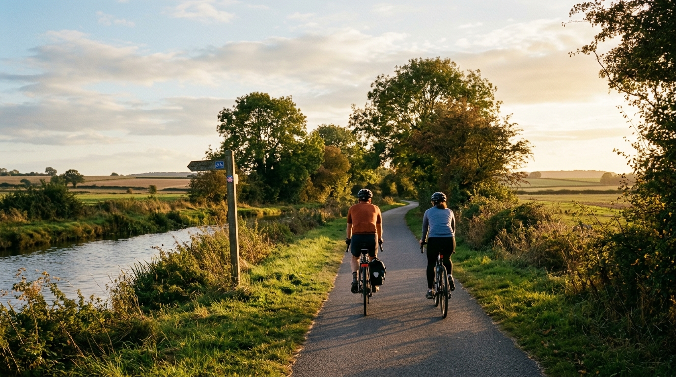
National Cycle Route 174
A concise guide to National Cycle Route 174, a 24.6km asphalt point-to-point ride in GB with 57m of elevation gain.
- Distancia
- 24.6km
- Desnivel
- 57m
- Superficie
- —
- Forma
- Punto a punto
La ruta
Perfil de elevación
National Cycle Route 174 cycling route overview
National Cycle Route 174 is a 24.6km asphalt cycling route in GB, with 57m of total elevation gain and a point-to-point layout rather than a loop. That combination tells you a lot about the character of the ride before you even clip in: this is not a climbing test, and it is not a self-contained circuit. The main planning question is less about gearing for major gradients and more about how you want to manage the start, finish, and return logistics.
The low elevation gain spread across the full distance should make the route feel steady rather than selective. There are no notable climbs listed in the available route data, so the effort is likely to be shaped more by pacing, surface, junctions, wind exposure, and how consistently you can keep pressure on the pedals than by any single uphill section. For riders using the route as training, that makes it better suited to controlled endurance work than a climbing-specific session. If you are riding to power, it is the kind of profile where discipline matters because the terrain may not force natural recovery points. See /glossary/ftp if you are using the ride to anchor endurance or tempo intensity.
Terrain and ride feel
The route surface is asphalt, which should support a road bike, endurance bike, or fast hybrid setup. With only 57m of gain across 24.6km, momentum should be relatively easy to maintain compared with a hillier route, assuming the surface condition and traffic environment cooperate on the day.
Because the route is not a loop, the ride has a directional feel. That matters tactically. A tailwind or headwind can change the perceived difficulty far more than the elevation profile suggests, and the return plan needs to be part of the route choice rather than an afterthought.
Practical notes
- Plan transport or a return ride, since the route is point-to-point.
- Expect an asphalt ride with limited climbing demand based on the 57m elevation gain figure.
- Do not build the day around a named climb, as no notable climbs are listed in the route data.
- Treat pacing as the main performance variable. On a flatter route, small surges can accumulate without the obvious feedback of steep gradients.
Who it suits
National Cycle Route 174 suits riders looking for a manageable asphalt route in GB without a major climbing load. It can work as a straightforward endurance spin, a steady aerobic ride, or a practical point-to-point link, provided the logistics at both ends are sorted before setting off.
Rutas relacionadas
3-Länder-Radweg
A 302.2 km asphalt route in Germany with 1512 m of climbing and point-to-point logistics shaped by the Reußenkreuz climb.
7 Peaks Alpine Challenge
A 110.9 km point-to-point assault through the Victorian Alps, stacking 3404 metres of climbing across relentless, wind-swept high-country ascents.
Aberdare Range
A 46 km asphalt point-to-point through Kenya's Central Highlands that trades big climbs for a relentless 1,700 m of rolling grind.
Abra Málaga
A 45-kilometer point-to-point ribbon of asphalt through Peru's Sacred Valley, climbing 1,699 relentless meters into the high Andes.
Afriski Mahlasela Pass
A 112.8 km asphalt ascent through the Maloti Mountains, climbing 3,384 m to the roof of southern Africa via the storied Mahlasela Pass.
Ahr Cycleway
An 82.9 km asphalt point-to-point route with 541 m of gain, the Ahr Cycleway is a steady endurance ride rather than a climb-focused day.