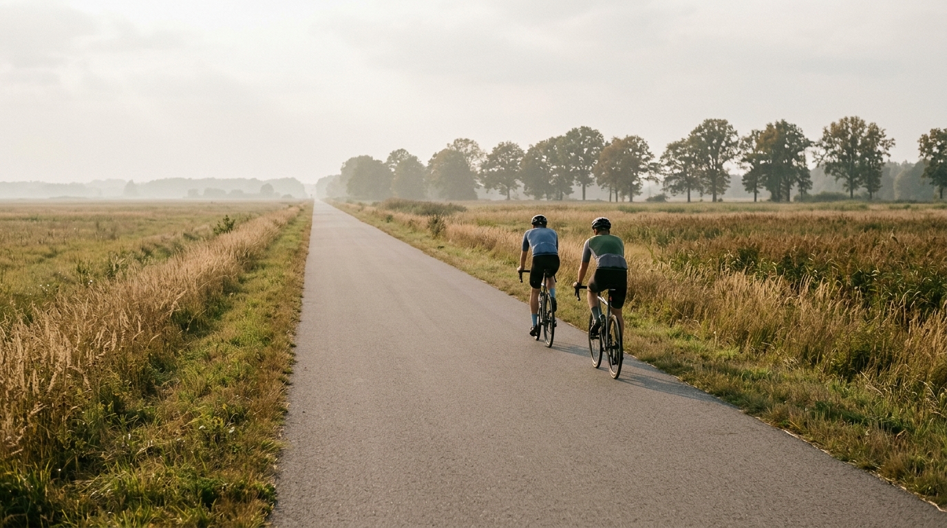
Cycle Route Czeremcha – Siemiatycze
A 58.3 km asphalt point-to-point route in Poland with just 151 m of elevation gain, built for steady endurance riding rather than climbing.
- Distancia
- 58.3km
- Desnivel
- 151m
- Superficie
- —
- Forma
- Punto a punto
La ruta
Perfil de elevación
Route character
The Cycle Route Czeremcha - Siemiatycze cycling route is a 58.3 km point-to-point ride in Poland on asphalt, with 151 m of elevation gain. That combination tells you most of what matters before you roll out: this is not a climbing route, and it is not a technical elevation-management puzzle. It is a steady-road endurance ride where pacing, wind exposure, surface rhythm, and logistics will shape the day more than gradients.
With no notable climbs listed, the route should be approached as a sustained aerobic effort rather than a sequence of set-piece ascents. The low climbing total means there is little reason to burn matches early. If the goal is training, this profile suits controlled endurance work, tempo riding, or a smooth point-to-point transfer where consistency matters more than peak power.
Terrain and pacing
The asphalt surface makes the route suitable for a road bike, endurance bike, or fast all-road setup, assuming normal conditions. The key is not gearing for steep climbs, but keeping the effort even across the full 58.3 km. On flatter terrain, riders often drift above target power because speed feels easy early. That is the trap here. With little elevation to force natural recoveries, the cost of riding too hard can accumulate quietly.
For riders using power, this is the kind of route where staying below /glossary/ftp for most of the day makes sense unless the session is deliberately structured. The terrain does not demand repeated surges, so any intensity should be chosen, not imposed by the road.
Practical notes
Because this is not a loop, logistics matter. Plan the finish before starting: arrange transport, use public connections if available, or build in a return plan. Treating it as an out-and-back would turn a manageable one-way ride into a much larger undertaking, so do not leave that decision to the end of the route.
The absence of notable climbs does not mean the route is effortless. A 58.3 km ride still requires basic fueling and pacing discipline, especially if ridden at a steady tempo. Carry enough fluid and food for the full point-to-point distance, and avoid relying on a climb or descent to reset the effort. The best execution here is simple: settle in early, keep the pressure smooth, and let the route reward consistency rather than aggression.
Rutas relacionadas
3-Länder-Radweg
A 302.2 km asphalt route in Germany with 1512 m of climbing and point-to-point logistics shaped by the Reußenkreuz climb.
7 Peaks Alpine Challenge
A 110.9 km point-to-point assault through the Victorian Alps, stacking 3404 metres of climbing across relentless, wind-swept high-country ascents.
Aberdare Range
A 46 km asphalt point-to-point through Kenya's Central Highlands that trades big climbs for a relentless 1,700 m of rolling grind.
Abra Málaga
A 45-kilometer point-to-point ribbon of asphalt through Peru's Sacred Valley, climbing 1,699 relentless meters into the high Andes.
Afriski Mahlasela Pass
A 112.8 km asphalt ascent through the Maloti Mountains, climbing 3,384 m to the roof of southern Africa via the storied Mahlasela Pass.
Ahr Cycleway
An 82.9 km asphalt point-to-point route with 541 m of gain, the Ahr Cycleway is a steady endurance ride rather than a climb-focused day.