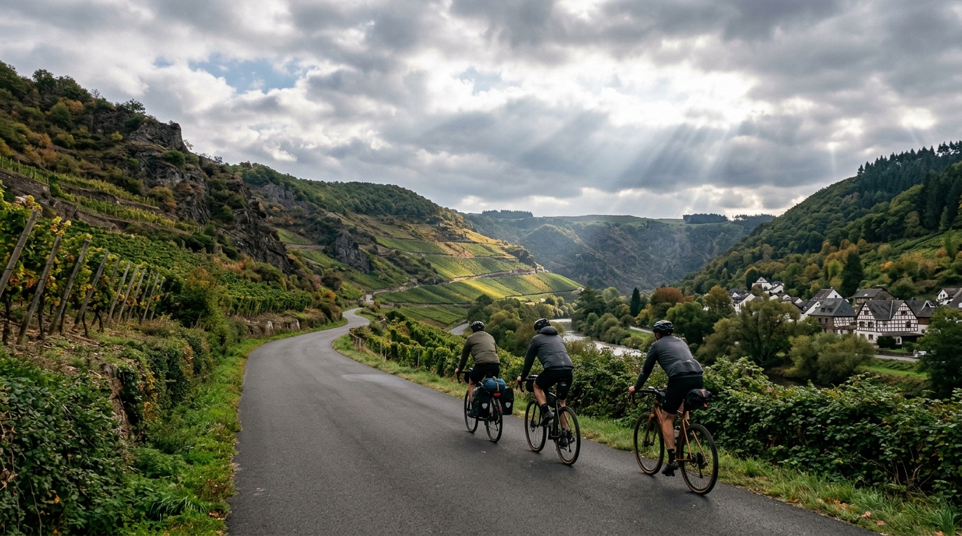
Ahr Cycleway
An 82.9 km asphalt point-to-point route with 541 m of gain, the Ahr Cycleway is a steady endurance ride rather than a climb-focused day.
- Distancia
- 82.9km
- Desnivel
- 541m
- Superficie
- —
- Forma
- Punto a punto
La ruta
Perfil de elevación
Ahr Cycleway cycling route overview
The Ahr Cycleway is an 82.9 km point-to-point asphalt route in Germany with 541 m of elevation gain. On paper, that makes it a steady endurance ride rather than a route defined by major climbing. The key feature is not a single decisive ascent, since no notable climbs are listed, but the cumulative effect of keeping pressure on the pedals over a full mid-distance day.
That profile matters for pacing. A route with this distance and gain is easy to underestimate because it does not present itself as a climbing test. The better approach is to ride it like a controlled endurance effort: keep the early intensity in check, avoid treating every rise as an interval, and let the smooth asphalt work in your favour. If you ride by power, stay anchored to sustainable zones rather than chasing speed over each change in terrain. For reference, see /glossary/ftp if you use threshold-based pacing.
Terrain and ride character
The surface is asphalt, which gives the route a clean, efficient feel compared with mixed-surface cycleways. That lowers the technical barrier and makes bike choice straightforward: a road bike, endurance road setup, or fast all-road bike should all make sense, assuming normal conditions.
The elevation gain is meaningful but not dominant. With 541 m spread across 82.9 km, the ride should feel more like a rolling aerobic route than a day built around repeated sustained climbs. That distinction affects how you fuel and pace. The challenge is less about surviving a steep summit and more about avoiding the slow fade that comes from riding slightly too hard for too long.
Practical notes
Because the route is not a loop, logistics matter. Plan the start and finish before committing to the ride, especially if you are not arranging a pickup or onward transport. Treating it as an out-and-back would fundamentally change the day, so do not assume the listed distance covers the return.
The absence of listed notable climbs should not be read as absence of effort. Over 82.9 km, small gradients, wind exposure, junctions, and changes in rhythm can still add up. Keep fueling simple and early, carry enough water for the full route or plan stops, and save some margin for the final section.
Best suited for
This is a strong option for riders looking for a longer asphalt route with moderate elevation gain and low technical complexity. It suits endurance training, steady tempo work, and riders who want distance without building the day around major climbs. The route rewards consistency more than aggression.
Rutas relacionadas
3-Länder-Radweg
A 302.2 km asphalt route in Germany with 1512 m of climbing and point-to-point logistics shaped by the Reußenkreuz climb.
7 Peaks Alpine Challenge
A 110.9 km point-to-point assault through the Victorian Alps, stacking 3404 metres of climbing across relentless, wind-swept high-country ascents.
Aberdare Range
A 46 km asphalt point-to-point through Kenya's Central Highlands that trades big climbs for a relentless 1,700 m of rolling grind.
Abra Málaga
A 45-kilometer point-to-point ribbon of asphalt through Peru's Sacred Valley, climbing 1,699 relentless meters into the high Andes.
Afriski Mahlasela Pass
A 112.8 km asphalt ascent through the Maloti Mountains, climbing 3,384 m to the roof of southern Africa via the storied Mahlasela Pass.
Aischtal cycling route
A 121.4 km point-to-point asphalt ride in Germany with modest elevation gain and a strong endurance character.