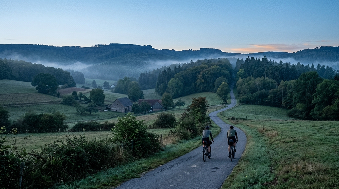
3-Länder-Radweg
A 302.2 km asphalt route in Germany with 1512 m of climbing and point-to-point logistics shaped by the Reußenkreuz climb.
- Distancia
- 302.2km
- Desnivel
- 1,512m
- Superficie
- —
- Forma
- Punto a punto
La ruta
Perfil de elevación
Route character
The 3-Länder-Radweg cycling route is a long asphalt route in Germany, covering 302.2 km with 1512 m of elevation gain. That combination tells you the main story: this is not a route defined by relentless climbing, but it is also not a flat roll where elevation can be ignored. The climbing is moderate in the context of the distance, which means the difficulty is more likely to come from duration, pacing, and logistics than from repeated steep efforts.
Because it is not a loop, this ride needs a little more planning than a circular day out. The point-to-point format changes the practical equation. You need a transport plan at both ends, a clear refuelling strategy, and a realistic decision on whether to ride it in one long push or split it into more manageable sections.
Terrain and pacing
The listed surface is asphalt, so the route is best approached as a road or fast all-road ride rather than a mixed-surface adventure. That matters because it lowers the equipment uncertainty: tyre choice, pressure, and gearing can be set around efficiency and comfort on paved roads rather than traction on loose ground.
The key pacing trap is the distance. With 302.2 km on the board, a rider who treats the early kilometres like a normal training ride will pay for it later. The 1512 m of climbing is enough to create fatigue if every rise is ridden above sustainable effort. Keep the climbs controlled, especially before the named climb of Reußenkreuz, which is the standout feature in the route data.
Reußenkreuz should be treated as a tactical checkpoint rather than just a label on the map. Without needing to know its exact profile, the fact that it is the notable climb means it deserves respect in the pacing plan. Arrive there with matches left, ride it within range, and use the descent or flatter ground afterward to return to steady pressure rather than chasing speed.
Practical notes
For a full-distance attempt, the main limiter is likely to be energy management. Stay ahead of fuelling from the start, not once the route begins to feel long. If using power, this is a day to anchor the ride well below /glossary/ftp and avoid repeated surges.
The asphalt surface supports efficient progress, but comfort still matters over 302.2 km. Prioritise contact points, stable tyre setup, and enough carrying capacity for food and layers. Since the route is not a loop, also confirm the finish logistics before starting. A strong ride on this route is less about one decisive effort and more about keeping the entire system under control from start to finish.
Rutas relacionadas
7 Peaks Alpine Challenge
A 110.9 km point-to-point assault through the Victorian Alps, stacking 3404 metres of climbing across relentless, wind-swept high-country ascents.
Aberdare Range
A 46 km asphalt point-to-point through Kenya's Central Highlands that trades big climbs for a relentless 1,700 m of rolling grind.
Abra Málaga
A 45-kilometer point-to-point ribbon of asphalt through Peru's Sacred Valley, climbing 1,699 relentless meters into the high Andes.
Afriski Mahlasela Pass
A 112.8 km asphalt ascent through the Maloti Mountains, climbing 3,384 m to the roof of southern Africa via the storied Mahlasela Pass.
Ahr Cycleway
An 82.9 km asphalt point-to-point route with 541 m of gain, the Ahr Cycleway is a steady endurance ride rather than a climb-focused day.
Aischtal cycling route
A 121.4 km point-to-point asphalt ride in Germany with modest elevation gain and a strong endurance character.