🇻🇪 Atlas
Venezuela
Todos los puertos, carreras y rutas que tenemos catalogados en Venezuela, en un solo mapa.
- Puertos
- 6
- Cumbre más alta
- 4284m· Alto de Timotes
- Rutas
- 1
7 de todo lo que tenemos aquí. Toca un pin para abrirlo.
Regiones en Venezuela
El terreno de Venezuela
Todos los puertos catalogados del país, según su longitud y su dureza.
- Cumbre más alta
- 4284m
- Alto de Timotes
- Puerto más largo
- 55.4km
- Alto del Arenal
- Puerto más empinado
- 6.8%
- Táchira depression
Distribución de dificultad
- HC
- 4
- Cat. 1
- 1
- Cat. 2
- 1
Longitud frente a pendiente
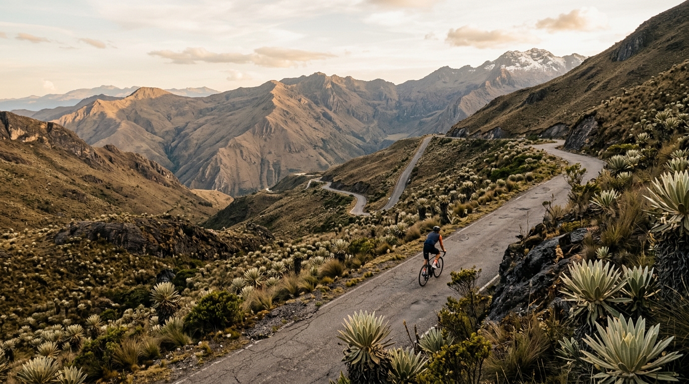
Venezuela rewards riders who chase thin air and relentless gradients. Of its five catalogued climbs, three earn the fearsome hors catégorie label, and the highest summit tops out at a lung-searing 4,284 metres. The marquee ascent, Alto de Timotes, anchors a roster that rises through the country's Andean spine, where paved switchbacks give way to sweeping high-altitude views and the kind of sustained effort that defines a true bucket-list climb.
Beyond Alto de Timotes, the catalogue delivers variety and grit. Alto del Arenal and Alto de Ño León test legs with prolonged, unforgiving pitches, while the Táchira depression carves a dramatic contrast against the surrounding heights. Alto del Loro rounds out a compact but formidable collection. For climbers seeking altitude, isolation, and a genuine challenge far from crowded European cols, Venezuela offers a rare and demanding cycling destination.