🇲🇪 Atlas
Montenegro
Todos los puertos, carreras y rutas que tenemos catalogados en Montenegro, en un solo mapa.
- Puertos
- 3
- Cumbre más alta
- 2133m· Čakor pass
- Rutas
- 1
4 de todo lo que tenemos aquí. Toca un pin para abrirlo.
Regiones en Montenegro
El terreno de Montenegro
Todos los puertos catalogados del país, según su longitud y su dureza.
Distribución de dificultad
- HC
- 1
- Cat. 1
- 1
- Cat. 2
- 1
Longitud frente a pendiente
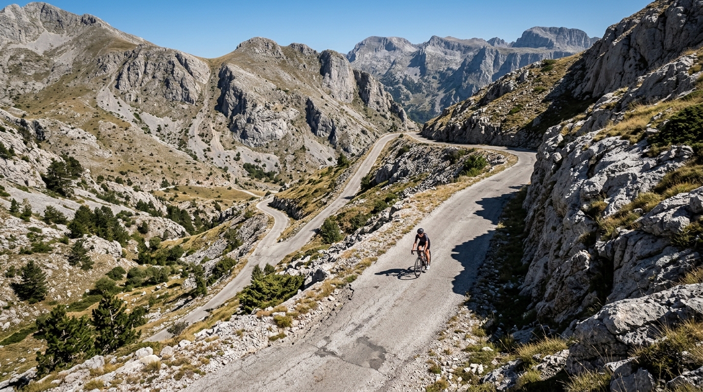
Montenegro is a small country that rides far bigger than its map suggests. The terrain rears up quickly from valley floors toward summits that reach as high as 1795 metres, giving cyclists a genuine mountain playground squeezed into a compact space. The gradients here reward patient, steady climbers who savour long views over sharp, punchy efforts.
At the heart of the riding sits Sedlo, the marquee climb in a still-young catalogue of just one entry. None of the country's ascents rank as hors catégorie, so Montenegro offers demanding but approachable climbing rather than the extreme, out-of-category suffering found elsewhere. For riders chasing quiet roads and dramatic height gain without the crowds, it is a destination waiting to be explored, one climb at a time.