🇱🇧 Atlas
Líbano
Todos los puertos, carreras y rutas que tenemos catalogados en Líbano, en un solo mapa.
- Puertos
- 2
- Cumbre más alta
- 1923m· The Cedars
- Rutas
- 1
3 de todo lo que tenemos aquí. Toca un pin para abrirlo.
Regiones en Líbano
El terreno de Líbano
Todos los puertos catalogados del país, según su longitud y su dureza.
- Cumbre más alta
- 1923m
- The Cedars
- Puerto más largo
- 8.1km
- The Cedars
- Puerto más empinado
- 8.9%
- Mzaar Kfardebian
Distribución de dificultad
- Cat. 2
- 2
Longitud frente a pendiente
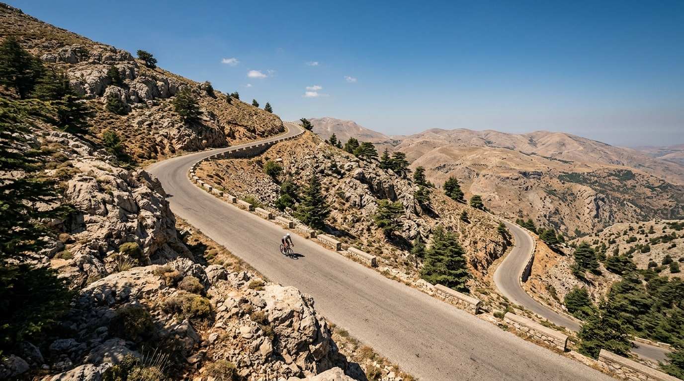
Lebanon packs a surprising amount of vertical gain into a small footprint, and its two catalogued climbs invite riders to trade coastal heat for cooler mountain air. Roads tilt upward quickly here, carrying you from lowland warmth toward a high point of 1,923 metres. Neither ascent is rated hors catégorie, which makes Lebanon an approachable proving ground for climbers building form rather than chasing brutal, race-defining gradients.
The marquee routes give the country its character. The Cedars draws riders into the storied high country, while Mzaar Kfardebian offers a steady haul toward altitude that rewards patience over raw power. With just two climbs on the map, Lebanon feels intimate and focused, a place where you can learn every switchback and return to sharpen your pacing on ground that never quite lets you settle into cruise control.