🇮🇩 Atlas
Indonesia
Todos los puertos, carreras y rutas que tenemos catalogados en Indonesia, en un solo mapa.
- Puertos
- 4
- Cumbre más alta
- 2672m· Bromo
- Rutas
- 1
5 de todo lo que tenemos aquí. Toca un pin para abrirlo.
Regiones en Indonesia
El terreno de Indonesia
Todos los puertos catalogados del país, según su longitud y su dureza.
Distribución de dificultad
- HC
- 1
- Cat. 1
- 1
- Cat. 2
- 1
- Cat. 4
- 1
Longitud frente a pendiente
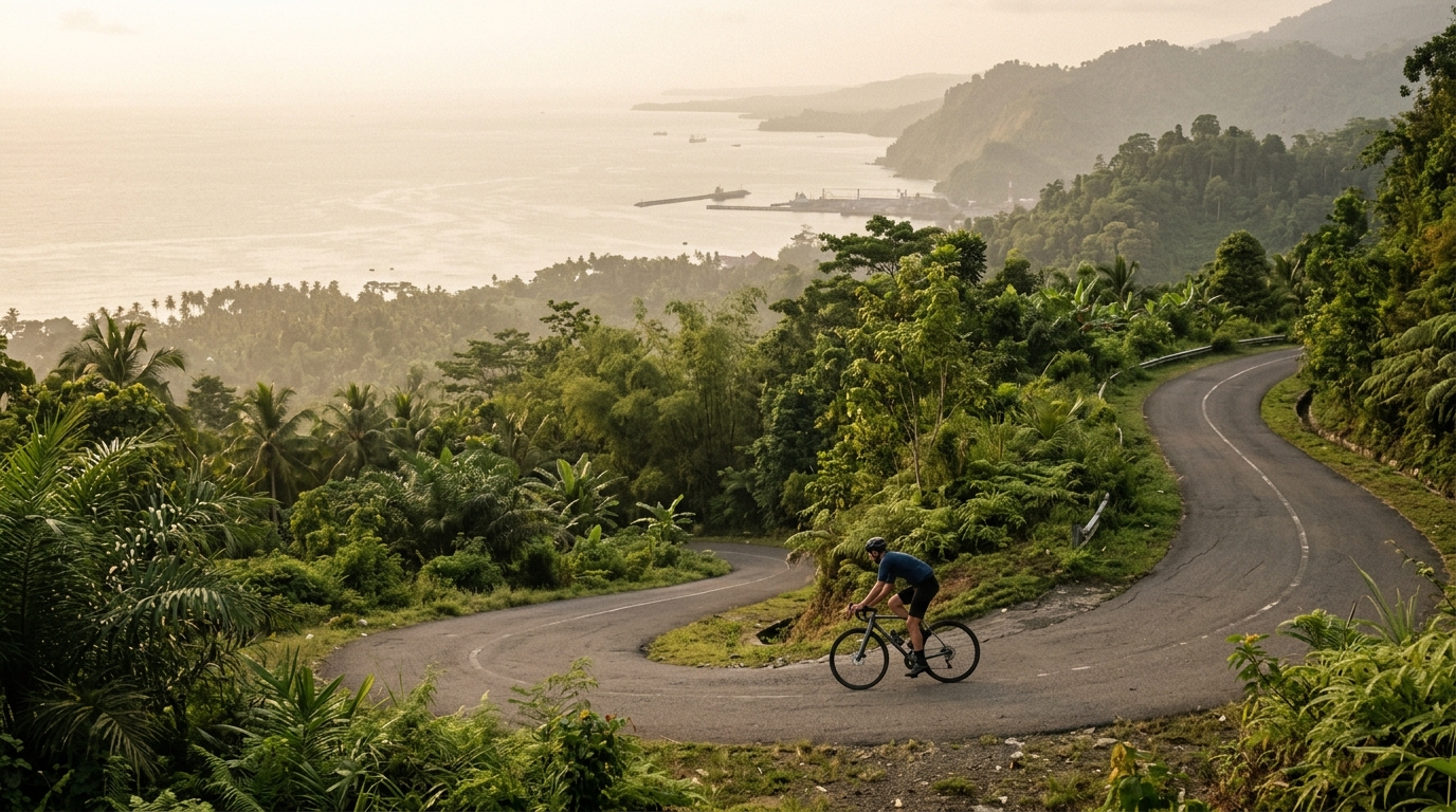
Indonesia rewards the patient cyclist with a compact but formidable catalogue of two climbs, carved into the country's restless volcanic landscape. What it lacks in quantity it repays in severity: one of these ascents earns the coveted hors categorie rating, the toughest grade a road can wear, and the highest summit here crests at a lung-testing 2,672 metres. These are climbs defined by gradient and altitude rather than sheer number, a place where a single road can test the legs of any rider willing to travel for it.
The two marquee ascents, Bromo and Dieng, anchor the country's climbing story. Both draw their character from the volcanic highlands, offering steep, sustained efforts that reward preparation and pacing. For a rider chasing thin-air suffering and dramatic elevation, Indonesia distills the experience into a short, uncompromising list where every metre gained feels earned.