🇪🇨 Atlas
Ecuador
Todos los puertos, carreras y rutas que tenemos catalogados en Ecuador, en un solo mapa.
- Puertos
- 2
- Cumbre más alta
- 3872m· Quilotoa
- Rutas
- 1
3 de todo lo que tenemos aquí. Toca un pin para abrirlo.
Regiones en Ecuador
El terreno de Ecuador
Todos los puertos catalogados del país, según su longitud y su dureza.
Distribución de dificultad
- Cat. 2
- 1
- Cat. 4
- 1
Longitud frente a pendiente
Ecuador is a country built for thin-air climbing, where roads rise steadily into the high country and reward the effort with commanding views. Its catalogue is compact but concentrated: just two catalogued climbs, yet both carry the weight of serious elevation. The highest summit reaches 3,872 metres, an altitude that turns even measured efforts into a lung-burning test and makes acclimatisation part of the plan.
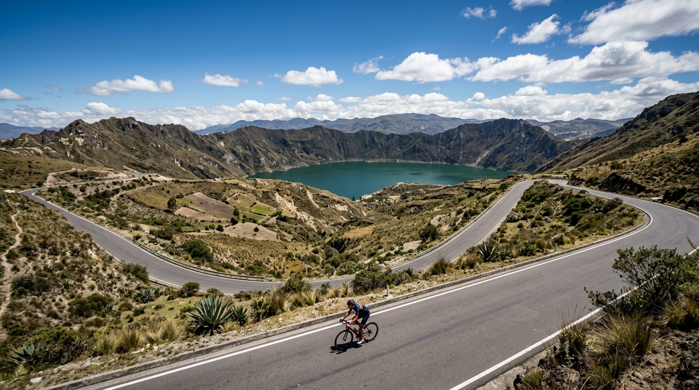
At the heart of the collection sit two marquee ascents. Quilotoa lifts riders toward a dramatic highland setting, while Papallacta Pass strings out a long, exposed haul over the divide. Neither climb is graded hors catégorie, so the challenge here is less about brutal ramps and more about sustained altitude and relentless gradient. For cyclists chasing something raw and high, Ecuador delivers a short list with an outsized reputation.