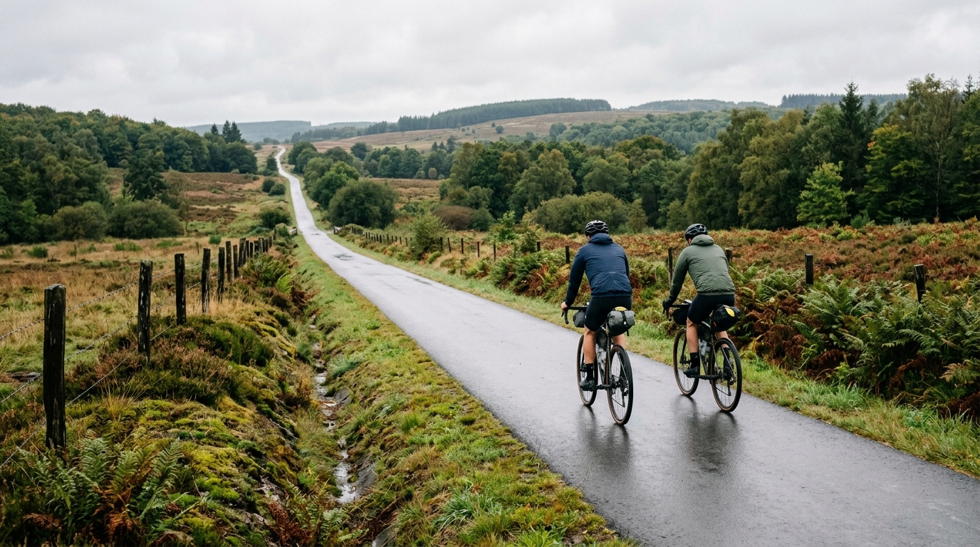
Vennbahn Cycle Route
An asphalt point-to-point endurance route in Belgium: 124.9 km, 545 m of elevation gain, and a profile that rewards steady pacing.
- 距离
- 124.9km
- 爬升
- 545m
- 路面
- —
- 形态
- 点对点
路线详情
海拔曲线
Route character
The Vennbahn Cycle Route cycling route is a 124.9 km asphalt ride in Belgium with 545 m of elevation gain. That combination tells you the main story before you turn a pedal: this is an endurance route first, not a climbing test.
The distance is substantial enough to demand real pacing, fueling, and route management, but the climbing load is relatively controlled for a ride of this length. With no notable climbs listed, the effort is unlikely to be defined by one decisive ascent. Instead, the challenge is cumulative - staying smooth, staying fed, and avoiding the slow fade that can turn a manageable long ride into a grind.
Terrain and pacing
The surface is asphalt, which makes this a natural fit for a road bike, endurance bike, or fast all-road setup. The key is not raw climbing power, but repeatable efficiency. On a route like this, the best ride usually comes from keeping the effort below threshold early, resisting surges, and treating the route as a long aerobic assignment rather than a sequence of targets.
Use the elevation profile implied by the stats as a pacing cue. With 545 m of gain spread across 124.9 km, the route should allow long sections where momentum matters. That puts a premium on position, cadence, and steady pressure on the pedals. If you ride by power, this is the kind of day where disciplined endurance pacing around your sustainable range matters more than chasing short spikes. For reference, see /glossary/ftp if you use FTP to anchor ride intensity.
Practical notes
This is not a loop, so logistics matter. Plan the start and finish as separate points rather than assuming an easy return to the beginning. That means sorting transport, a pickup, or a separate return ride before the day starts.
For a 124.9 km point-to-point route, fueling should be treated as part of the plan, not an afterthought. Even without major climbs, the duration can be the limiting factor. Carry enough food for steady intake, and do not wait for the route to feel hard before eating.
The asphalt surface simplifies equipment choice, but comfort still matters over this distance. Prioritize a setup you can hold for hours: reliable tires, stable gearing, and contact points that will not become the limiting factor late in the ride.
Who it suits
This route suits riders looking for a long, controlled endurance day rather than a mountainous objective. It is also a good option for testing pacing discipline: the numbers suggest a ride where the smartest rider is often the one who keeps the effort boring early and still has pressure in the pedals late.
相关路线
3-Länder-Radweg
A 302.2 km asphalt route in Germany with 1512 m of climbing and point-to-point logistics shaped by the Reußenkreuz climb.
7 Peaks Alpine Challenge
A 110.9 km point-to-point assault through the Victorian Alps, stacking 3404 metres of climbing across relentless, wind-swept high-country ascents.
Aberdare Range
A 46 km asphalt point-to-point through Kenya's Central Highlands that trades big climbs for a relentless 1,700 m of rolling grind.
Abra Málaga
A 45-kilometer point-to-point ribbon of asphalt through Peru's Sacred Valley, climbing 1,699 relentless meters into the high Andes.
Afriski Mahlasela Pass
A 112.8 km asphalt ascent through the Maloti Mountains, climbing 3,384 m to the roof of southern Africa via the storied Mahlasela Pass.
Ahr Cycleway
An 82.9 km asphalt point-to-point route with 541 m of gain, the Ahr Cycleway is a steady endurance ride rather than a climb-focused day.