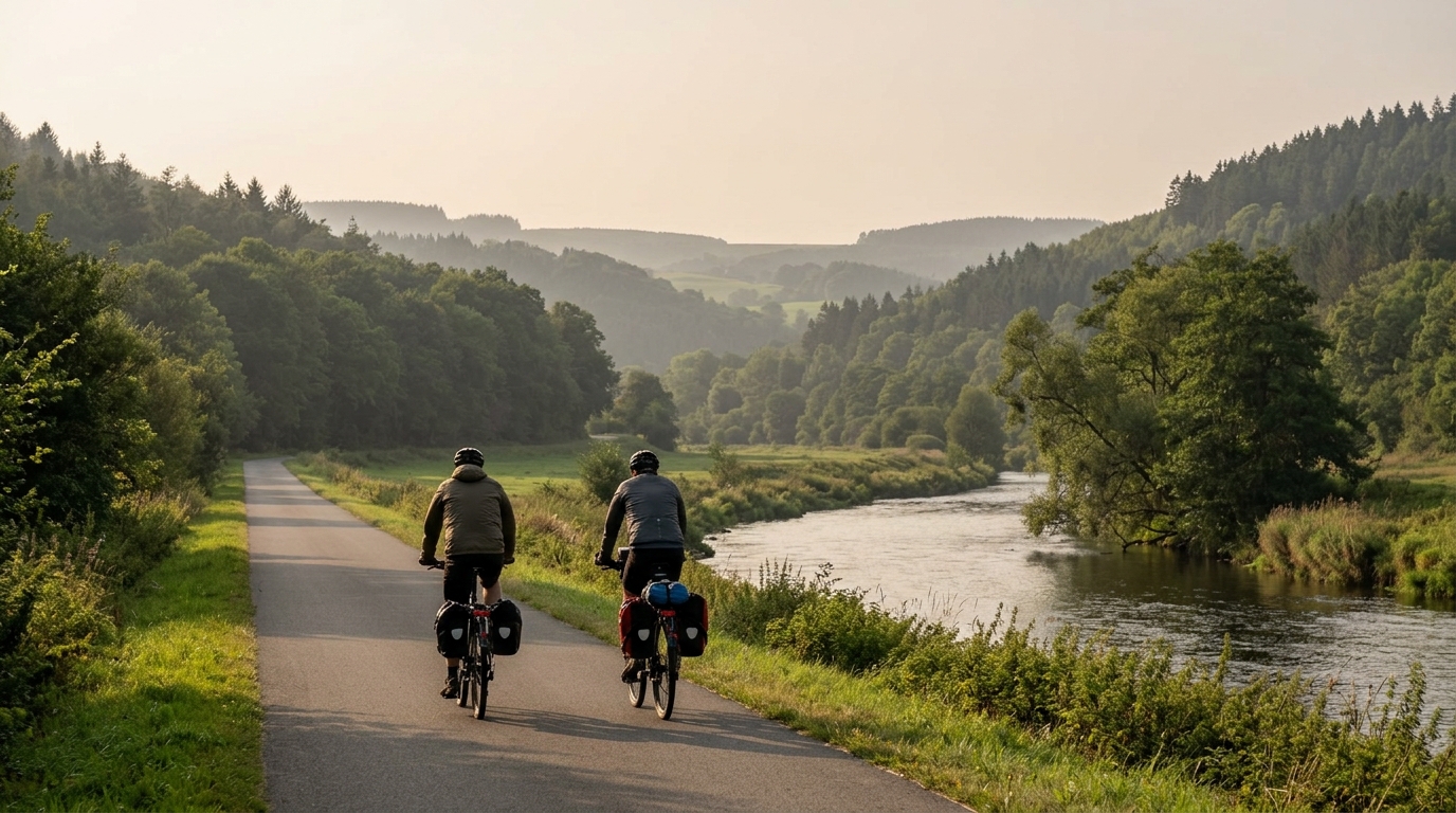
Lenneroute
A practical guide to the Lenneroute cycling route: 167 km of asphalt, modest elevation gain, and point-to-point pacing demands.
- 距离
- 167km
- 爬升
- 683m
- 路面
- —
- 形态
- 点对点
路线详情
海拔曲线
Lenneroute Cycling Route Overview
The Lenneroute cycling route is a 167 km point-to-point ride in DE on asphalt, with 683 m of total elevation gain. That profile tells you most of what matters before you roll out: this is not a climbing route, and the absence of listed notable climbs reinforces that. The challenge is more about duration, consistency, and how well you manage a long day on the bike than about surviving a single decisive ascent.
Because the route is not a loop, logistics matter more than they would on a closed circuit. Start and finish planning should be treated as part of the ride, not an afterthought. Transport, pickup, return connections, or an overnight option all need to be solved before the ride starts, because turning around would change the entire character of the day.
Terrain And Ride Character
With 683 m of elevation gain spread across 167 km, the Lenneroute should feel controlled rather than mountainous. Expect the main load to come from time in the saddle and repeated small changes in rhythm rather than from sustained climbing. That matters tactically: the efficient rider here is not the one who can produce one big effort, but the one who can avoid wasting energy for hours.
On asphalt, equipment choice can stay straightforward. A road bike or fast all-road setup makes sense, with comfort still taking priority because the distance is long enough for small fit issues to become costly. This is the kind of route where smooth pacing, stable fueling, and position changes often decide how the final portion feels.
For riders using power, the sensible approach is to cap the early intensity and let the route come to you. If you are unsure how to set that ceiling, anchor it to your current /glossary/ftp rather than to optimism at the start. The modest elevation gain may tempt riders into riding harder than planned, but the distance means those early surges still have to be paid for later.
Practical Notes
Pacing
Treat the first part as energy preservation, not proof of form. A 167 km point-to-point ride rewards restraint because there is no natural reset point built into a loop. Keep pressure steady, avoid unnecessary accelerations, and save your best riding for the back half.
Fuel And Stops
The route length makes fueling a core performance variable. Plan food and fluid around the full distance, not around the climbing load. Lower elevation gain does not remove the need to eat consistently, especially on asphalt where speed can stay relatively high and effort can feel deceptively manageable.
Bike Setup
Prioritize a setup that you can hold comfortably for the entire ride. Since the surface is asphalt and no notable climbs are listed, there is no obvious need to bias the bike toward extreme gearing or climbing-specific choices. Comfort, rolling efficiency, and reliable storage are the useful gains.
Bottom Line
The Lenneroute cycling route is best understood as a long endurance route rather than a selective climbing test. Its 167 km distance is the headline challenge, while the 683 m of elevation gain keeps the terrain from becoming the defining feature. Ride it patiently, solve the point-to-point logistics in advance, and the route should reward efficient, disciplined pacing.
相关路线
3-Länder-Radweg
A 302.2 km asphalt route in Germany with 1512 m of climbing and point-to-point logistics shaped by the Reußenkreuz climb.
7 Peaks Alpine Challenge
A 110.9 km point-to-point assault through the Victorian Alps, stacking 3404 metres of climbing across relentless, wind-swept high-country ascents.
Aberdare Range
A 46 km asphalt point-to-point through Kenya's Central Highlands that trades big climbs for a relentless 1,700 m of rolling grind.
Abra Málaga
A 45-kilometer point-to-point ribbon of asphalt through Peru's Sacred Valley, climbing 1,699 relentless meters into the high Andes.
Afriski Mahlasela Pass
A 112.8 km asphalt ascent through the Maloti Mountains, climbing 3,384 m to the roof of southern Africa via the storied Mahlasela Pass.
Ahr Cycleway
An 82.9 km asphalt point-to-point route with 541 m of gain, the Ahr Cycleway is a steady endurance ride rather than a climb-focused day.