Vulkanradweg
A practical guide to the Vulkanradweg cycling route: 97.1 km of asphalt riding in Germany with 553 m of elevation gain and point-to-point logistics.
- Afstand
- 97.1km
- Hoogtemeters
- 553m
- Ondergrond
- —
- Vorm
- Punt-naar-punt
De route
Hoogteprofiel
Vulkanradweg cycling route overview
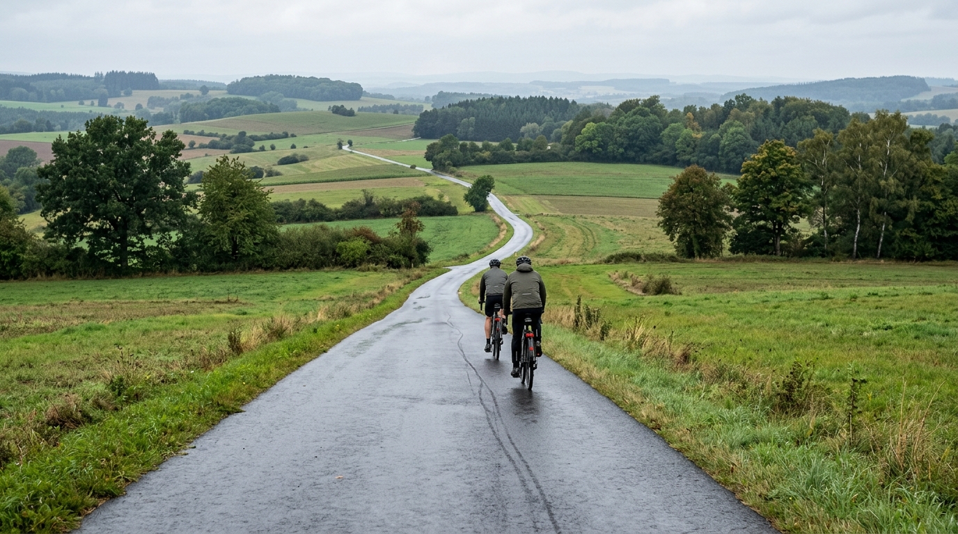
The Vulkanradweg is a 97.1 km asphalt cycling route in Germany with 553 m of elevation gain. On paper, that gives it a clear endurance character rather than a climbing-route identity. The distance is substantial enough that pacing, fueling, and route logistics matter, but the elevation gain is modest relative to the length, which points toward a ride where consistency is more important than repeated high-output efforts.
This is not a loop, so the biggest practical decision comes before the ride starts: how to handle the point-to-point format. A non-looping route changes the day. You either need transport at the finish, a return plan, or the legs and time to make your own way back. Treat that as part of the route, not an afterthought.
Terrain and ride character
With asphalt listed as the surface, the Vulkanradweg is suited to a road bike, endurance bike, or fast all-road setup rather than anything built around rough-surface security. The key feature is the relationship between distance and climbing. Over 97.1 km, 553 m of gain should feel rolling and aerobic for a prepared rider, not defined by a single decisive ascent.
There are no notable climbs listed in the route data, which matters tactically. Instead of saving everything for one named climb, ride the route as a long accumulation of effort. Small rises, changes in grade, and the fatigue that comes from staying on the pedals for close to 100 km will shape the experience more than any headline segment.
Pacing notes
The cleanest approach is to ride the first part below the effort you think you can hold. A route with moderate total gain can still punish over-riding early because there is no obvious climb where the mistake announces itself. The cost shows up later as fading speed on flat or gently rising terrain.
If you pace with power, keep the day anchored around sustainable endurance intensity rather than chasing short surges. Riders using perceived exertion should aim for controlled breathing and a gear choice that keeps pressure on the pedals without forcing strength efforts. If you need a benchmark for setting intensity, use your current /glossary/ftp or estimate it with /tools/ftp-estimator before building the ride plan.
Practical setup
The asphalt surface keeps equipment simple. Prioritize reliable tires, comfortable contact points, and enough storage for food, fluid, and weather layers appropriate to a long point-to-point ride. Because the route is 97.1 km, nutrition should start early rather than waiting for hunger to appear.
The Vulkanradweg is best approached as a steady endurance route: long enough to require discipline, smooth enough to reward efficiency, and moderate enough in elevation that the rider who manages energy well should finish stronger than the rider who treats the opening kilometers like a test.
Vergelijkbare routes
3-Länder-Radweg
A 302.2 km asphalt route in Germany with 1512 m of climbing and point-to-point logistics shaped by the Reußenkreuz climb.
7 Peaks Alpine Challenge
A 110.9 km point-to-point assault through the Victorian Alps, stacking 3404 metres of climbing across relentless, wind-swept high-country ascents.
Aberdare Range
A 46 km asphalt point-to-point through Kenya's Central Highlands that trades big climbs for a relentless 1,700 m of rolling grind.
Abra Málaga
A 45-kilometer point-to-point ribbon of asphalt through Peru's Sacred Valley, climbing 1,699 relentless meters into the high Andes.
Afriski Mahlasela Pass
A 112.8 km asphalt ascent through the Maloti Mountains, climbing 3,384 m to the roof of southern Africa via the storied Mahlasela Pass.
Ahr Cycleway
An 82.9 km asphalt point-to-point route with 541 m of gain, the Ahr Cycleway is a steady endurance ride rather than a climb-focused day.