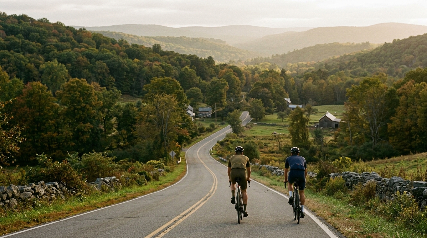
U.S. Bicycle Route 7 in Connecticut
A 156.1 km asphalt point-to-point route with 1128 m of climbing, best treated as a steady endurance ride rather than a single-climb objective.
- Afstand
- 156.1km
- Hoogtemeters
- 1,128m
- Ondergrond
- —
- Vorm
- Punt-naar-punt
De route
Hoogteprofiel
U.S. Bicycle Route 7 in Connecticut cycling route
U.S. Bicycle Route 7 in Connecticut is a long asphalt point-to-point ride: 156.1 km with 1128 m of elevation gain. That combination tells you most of what matters before you roll out. This is not defined by a named climb or a single decisive summit. The route has no listed notable climbs, so the difficulty is more likely to come from duration, accumulated elevation, and how well you manage effort across the full distance.
That matters because 1128 m of gain over 156.1 km is enough to keep the ride honest without turning it into a pure climbing day. The route should be approached as a sustained endurance effort where small rises, false flats, and rolling terrain can gradually pull you above your intended pace if you are not disciplined. The fastest way to make this ride harder than it needs to be is to treat every uphill section as a test.
Ride character
The defining feature is length. At 156.1 km, this sits firmly in long-day territory for most riders. The asphalt surface keeps the equipment choice straightforward, but it also makes pacing more important because there is little reason to back off unless the terrain forces it. A smooth road ride can become deceptively demanding when the climbing is spread across many hours.
Because the route is not a loop, logistics are part of the ride, not an afterthought. A point-to-point route rewards planning: decide in advance whether you are arranging a pickup, riding back by another means, or building the route into a larger trip. Do not leave that decision to the final hour of a long ride.
How to pace it
The smart execution is controlled and aerobic. Keep the early effort below your sustainable threshold and avoid surges on the smaller climbs. If you know your /glossary/ftp, use it as a ceiling rather than a target. The goal is not to prove fitness in the opening third. It is to still have usable legs late in the ride, when the distance and accumulated elevation begin to compound.
A practical pacing frame:
- Ride the first section conservatively, even if the asphalt feels fast.
- Let the elevation gain accumulate without chasing every rise.
- Fuel before fatigue is obvious, because 156.1 km is long enough for small mistakes to become structural.
- Save harder efforts for late in the route, not early.
Practical notes
Use a road-focused setup suitable for asphalt. The route length makes comfort, tire reliability, and nutrition more important than marginal aerodynamic choices. Carry enough food for a long ride and plan resupply rather than assuming it will appear at the right moment.
The route’s lack of listed notable climbs should not be mistaken for an easy day. The challenge is less dramatic but more persistent: stay patient, keep the effort even, and treat U.S. Bicycle Route 7 in Connecticut as a complete endurance route rather than a collection of isolated features.
Vergelijkbare routes
3-Länder-Radweg
A 302.2 km asphalt route in Germany with 1512 m of climbing and point-to-point logistics shaped by the Reußenkreuz climb.
7 Peaks Alpine Challenge
A 110.9 km point-to-point assault through the Victorian Alps, stacking 3404 metres of climbing across relentless, wind-swept high-country ascents.
Aberdare Range
A 46 km asphalt point-to-point through Kenya's Central Highlands that trades big climbs for a relentless 1,700 m of rolling grind.
Abra Málaga
A 45-kilometer point-to-point ribbon of asphalt through Peru's Sacred Valley, climbing 1,699 relentless meters into the high Andes.
Afriski Mahlasela Pass
A 112.8 km asphalt ascent through the Maloti Mountains, climbing 3,384 m to the roof of southern Africa via the storied Mahlasela Pass.
Ahr Cycleway
An 82.9 km asphalt point-to-point route with 541 m of gain, the Ahr Cycleway is a steady endurance ride rather than a climb-focused day.