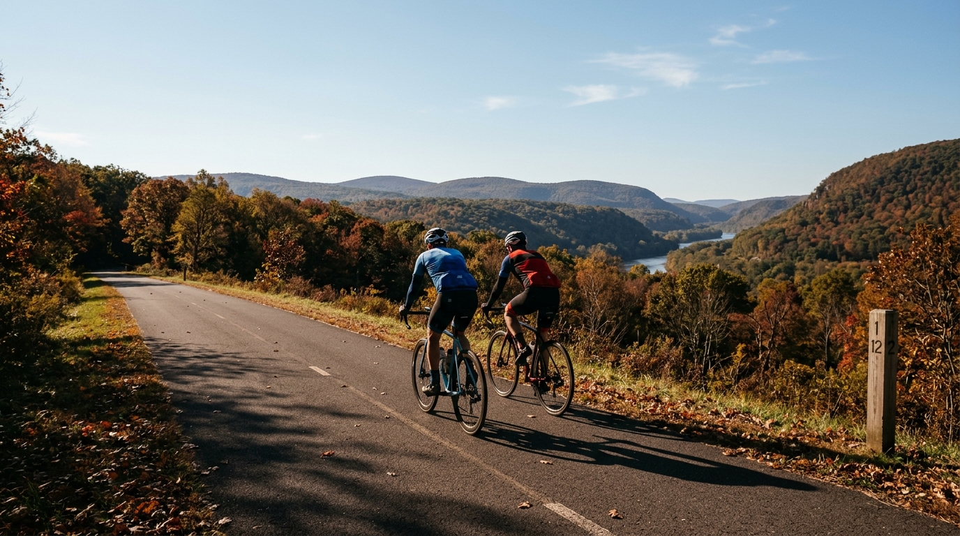
U.S. Bicycle Route 679
A concise guide to U.S. Bicycle Route 679, a short asphalt point-to-point ride in the US with modest elevation gain and no listed notable climbs.
- Afstand
- 15.2km
- Hoogtemeters
- 72m
- Ondergrond
- —
- Vorm
- Punt-naar-punt
De route
Hoogteprofiel
Route character
The U.S. Bicycle Route 679 cycling route is a short, asphalt point-to-point ride in the US. At 15.2 km with 72 m of elevation gain, its defining feature is restraint: this is not a route built around a major climb or a long endurance day. It is more likely to function as a connector, a controlled aerobic spin, or a compact route segment where pacing, traffic awareness, and smooth riding matter more than pure climbing strength.
The low elevation gain relative to the total distance points toward rolling or gently varied terrain rather than sustained climbing. With no notable climbs listed, riders should not expect a single decisive uphill feature to shape the effort. Instead, the ride is likely to reward steadiness. Small rises can still interrupt rhythm, especially if ridden above endurance pace, but the overall profile should be manageable for most trained cyclists.
Terrain and pacing
The asphalt surface is the key practical detail. It makes the route suitable for a standard road bike setup, assuming normal road conditions. Because the route is not a loop, the logistics matter more than the elevation profile. Riders should plan the start and finish deliberately, either arranging transport, linking it into a longer ride, or reversing the route if needed.
For training, the distance makes this route useful when the goal is controlled time on the bike rather than accumulated fatigue. It can fit well as an easy aerobic ride, a warm-up or cool-down segment, or part of a larger structured session. If using it inside a workout, keep the modest climbing in context: the terrain probably will not force intensity, so effort discipline has to come from the rider rather than the road. For riders calibrating zones, pairing this kind of route with a known /glossary/ftp value can help keep the ride honest.
Practical notes
- Surface: asphalt
- Distance: 15.2 km
- Elevation gain: 72 m
- Format: point-to-point, not a loop
- Listed notable climbs: none
The main takeaway is simplicity. U.S. Bicycle Route 679 is short enough to be approachable, flat enough that climbing is not the central limiter, and direct enough that route planning should focus on how it connects to the rest of the day. Treat it as a clean asphalt segment with modest vertical demand, not as a destination climb or a self-contained loop.
Vergelijkbare routes
3-Länder-Radweg
A 302.2 km asphalt route in Germany with 1512 m of climbing and point-to-point logistics shaped by the Reußenkreuz climb.
7 Peaks Alpine Challenge
A 110.9 km point-to-point assault through the Victorian Alps, stacking 3404 metres of climbing across relentless, wind-swept high-country ascents.
Aberdare Range
A 46 km asphalt point-to-point through Kenya's Central Highlands that trades big climbs for a relentless 1,700 m of rolling grind.
Abra Málaga
A 45-kilometer point-to-point ribbon of asphalt through Peru's Sacred Valley, climbing 1,699 relentless meters into the high Andes.
Afriski Mahlasela Pass
A 112.8 km asphalt ascent through the Maloti Mountains, climbing 3,384 m to the roof of southern Africa via the storied Mahlasela Pass.
Ahr Cycleway
An 82.9 km asphalt point-to-point route with 541 m of gain, the Ahr Cycleway is a steady endurance ride rather than a climb-focused day.