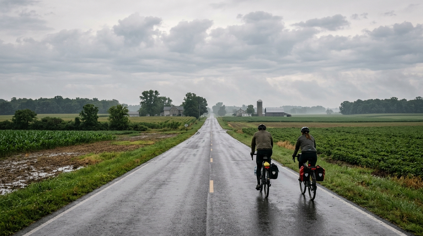
U.S. Bicycle Route 50A
A 50.3 km asphalt point-to-point route in the US with modest elevation gain and no listed notable climbs.
- Afstand
- 50.3km
- Hoogtemeters
- 119m
- Ondergrond
- —
- Vorm
- Punt-naar-punt
De route
Hoogteprofiel
U.S. Bicycle Route 50A cycling route overview
U.S. Bicycle Route 50A is a 50.3 km asphalt route in the US with 119 m of elevation gain. On paper, that gives it a very controlled profile: enough distance to make pacing and route logistics matter, but not enough climbing to define the day around sustained uphill efforts.
The key detail is that it is not a loop. That changes the ride more than the elevation number does. A point-to-point route rewards planning: decide in advance whether the day ends with a pickup, a transit connection, or a return ride that effectively doubles the workload. Treating it like a casual out-and-back without planning the finish can turn an otherwise manageable route into a much longer day.
Terrain and ride character
The listed surface is asphalt, so the route is best approached as a road ride rather than a mixed-surface outing. The 119 m of elevation gain across 50.3 km suggests a route where momentum matters more than climbing strength. There are no notable climbs listed, which usually means the main performance limiter is likely to be steady aerobic output, position, and efficient pacing rather than repeated high-torque climbing.
That does not make it automatic. A 50.3 km point-to-point ride still asks for discipline. If the opening section feels easy, the smart move is to keep it controlled rather than burn matches chasing speed early. With limited climbing on the profile, small changes in effort can be harder to notice because there may not be obvious terrain cues forcing the pace down. Riding by feel works, but using power or heart rate can help keep the day aligned with the intent. If you use training zones, anchor the ride around your sustainable endurance range rather than treating the low elevation gain as permission to surge. For riders using power, /glossary/ftp is the relevant reference point.
Practical notes
Best bike and setup
A road bike or endurance road setup is the natural fit for an asphalt route of this length. Since the provided route data does not list unpaved sectors or notable climbs, there is no obvious need to bias equipment toward climbing gearing or rough-surface durability based on the available information.
Pacing
Keep the first half deliberately smooth. The profile does not suggest a decisive climb where the ride will clearly split into sections, so pacing mistakes are more likely to come from over-riding the early flat or rolling portions than from misjudging a single ascent.
Logistics
Because the route is not a loop, finish logistics are part of the ride plan. Confirm the end point, return option, and resupply independently before starting, since the provided route data does not specify services, towns, or traffic conditions.
Vergelijkbare routes
3-Länder-Radweg
A 302.2 km asphalt route in Germany with 1512 m of climbing and point-to-point logistics shaped by the Reußenkreuz climb.
7 Peaks Alpine Challenge
A 110.9 km point-to-point assault through the Victorian Alps, stacking 3404 metres of climbing across relentless, wind-swept high-country ascents.
Aberdare Range
A 46 km asphalt point-to-point through Kenya's Central Highlands that trades big climbs for a relentless 1,700 m of rolling grind.
Abra Málaga
A 45-kilometer point-to-point ribbon of asphalt through Peru's Sacred Valley, climbing 1,699 relentless meters into the high Andes.
Afriski Mahlasela Pass
A 112.8 km asphalt ascent through the Maloti Mountains, climbing 3,384 m to the roof of southern Africa via the storied Mahlasela Pass.
Ahr Cycleway
An 82.9 km asphalt point-to-point route with 541 m of gain, the Ahr Cycleway is a steady endurance ride rather than a climb-focused day.