U.S. Bicycle Route 176
A concise guide to U.S. Bicycle Route 176, a 40.7 km asphalt point-to-point ride with modest elevation gain and no listed notable climbs.
- Afstand
- 40.7km
- Hoogtemeters
- 153m
- Ondergrond
- —
- Vorm
- Punt-naar-punt
De route
Hoogteprofiel
U.S. Bicycle Route 176 cycling route overview
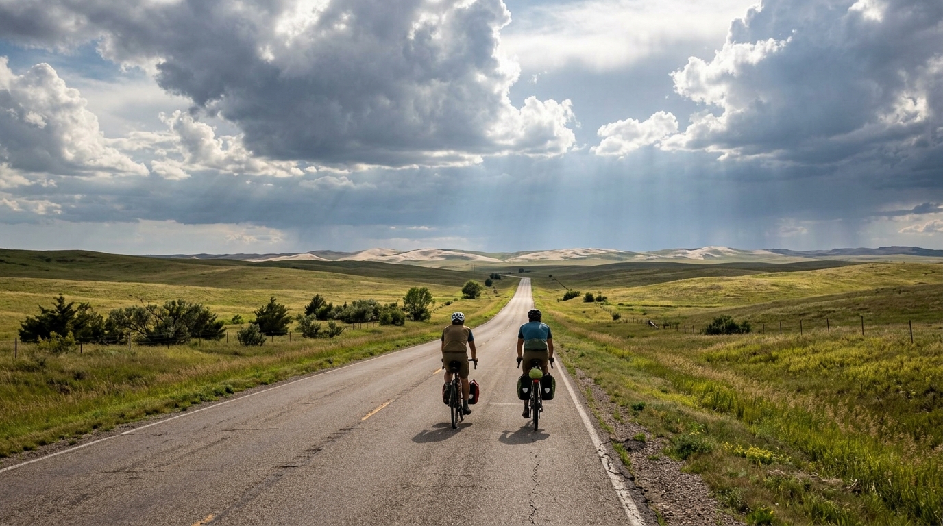
U.S. Bicycle Route 176 is a 40.7 km asphalt route with 153 m of elevation gain. The defining feature is not a major climb or a decisive altitude profile, but the opposite: a relatively restrained amount of climbing over a point-to-point distance that is long enough to reward steady pacing and good logistics.
Because the route is not a loop, the ride should be planned less like a casual out-and-back and more like a transfer stage. The key question is not only how hard to ride, but how to manage the finish. A vehicle shuttle, public transport option, or a planned return ride changes the day completely. If the return is by bike, the total workload becomes materially different even though the listed route itself is 40.7 km.
Terrain and ride character
The surface is asphalt, which makes this a road-focused route rather than a mixed-surface adventure. With no notable climbs listed and only 153 m of elevation gain, the effort should come more from wind exposure, road rhythm, stops, and pacing discipline than from sustained climbing.
That matters tactically. On a route like this, riders often drift into a harder tempo than intended because there is no obvious climb forcing an effort reset. The better approach is to ride deliberately: keep the opening portion controlled, settle into an endurance or tempo rhythm, and avoid treating every small rise as an acceleration point. If you are using power, anchor the ride around sustainable effort rather than chasing speed. For reference, /glossary/ftp is useful context for understanding how those effort zones relate to your threshold.
What to expect on the bike
Expect a ride that suits steady road riding, aerobic conditioning, and efficient group pacing. The modest elevation gain means gearing is unlikely to be the limiting factor for most road cyclists, but that does not make the route effortless. Over 40.7 km, small inefficiencies add up: poor fueling, repeated surges, or sitting exposed on the front too long can turn a controlled ride into a grind.
The asphalt surface supports standard road-bike setup choices. Prioritize tires and pressure that balance rolling speed with comfort, especially if the goal is to ride smoothly rather than simply get through the distance.
Practical notes
- Plan the finish first, because U.S. Bicycle Route 176 is not a loop.
- Treat the 153 m of elevation gain as rolling terrain rather than a climbing objective.
- Carry what you need for the full point-to-point distance unless you have confirmed resupply.
- Use the lack of listed notable climbs to your advantage: ride even, minimize spikes, and keep the effort repeatable.
The route's value is its simplicity. It gives road cyclists a clean asphalt point-to-point ride where execution matters more than climbing ability.
Vergelijkbare routes
3-Länder-Radweg
A 302.2 km asphalt route in Germany with 1512 m of climbing and point-to-point logistics shaped by the Reußenkreuz climb.
7 Peaks Alpine Challenge
A 110.9 km point-to-point assault through the Victorian Alps, stacking 3404 metres of climbing across relentless, wind-swept high-country ascents.
Aberdare Range
A 46 km asphalt point-to-point through Kenya's Central Highlands that trades big climbs for a relentless 1,700 m of rolling grind.
Abra Málaga
A 45-kilometer point-to-point ribbon of asphalt through Peru's Sacred Valley, climbing 1,699 relentless meters into the high Andes.
Afriski Mahlasela Pass
A 112.8 km asphalt ascent through the Maloti Mountains, climbing 3,384 m to the roof of southern Africa via the storied Mahlasela Pass.
Ahr Cycleway
An 82.9 km asphalt point-to-point route with 541 m of gain, the Ahr Cycleway is a steady endurance ride rather than a climb-focused day.